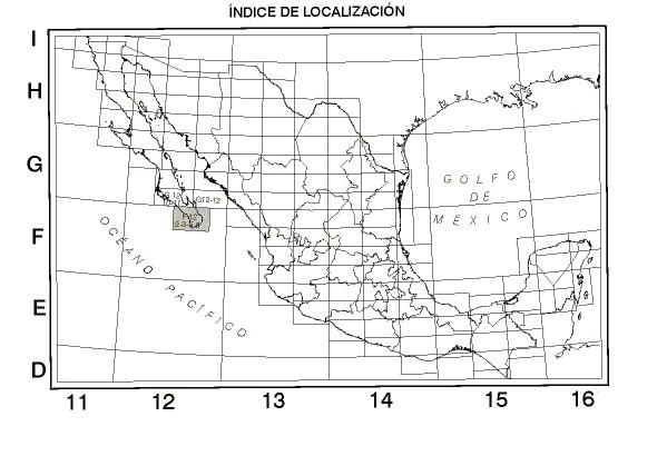
The following series of digital topographical maps of México is a product of El Instituto Nacional de Estadística, Geografía e Informática (INEGI). The areas covered by these maps are Baja California, Baja California Sur, Sonora, Sinaloa, Chihuahua, Durango, and Zacatecas. For more information (spanish only) regarding this map series, click Word Doc or Plain Text and see the documentation provided in the Table below. Select the "Map Key" in the Table below for a quick look at any map. Contact José Meitín at meitin @ ucar.edu for additional information.
General Map Key

Table of Digital Topographical Mexican Maps and Documentation