(update November 11, 1999)
Photos taken by Dave Rogers on Electra during Lake-ICE flight on 13-Jan-98. Camera was Canon AV-1 with 35-70mm zoom lens. Camera settings were not recorded. All time references are UTC. To coordinate time with location, the flight track of the NCAR Electra can be viewed on the NCAR archives for these time segments:
12:36-14:08
www.atd.ucar.edu/rsf/LAKEICE/RF08/rf08a_ft.gif
14:08-15:09
www.atd.ucar.edu/rsf/LAKEICE/RF08/rf08b_ft.gif
15:09-16:27
www.atd.ucar.edu/rsf/LAKEICE/RF08/rf08c_ft.gif
16:27-17:52
www.atd.ucar.edu/rsf/LAKEICE/RF08/rf08d_ft.gif
etc.
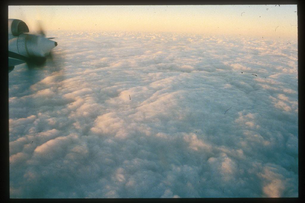
- 13:33:10 Looking left at top of Sc deck with few holes; aircraft is still over land.
- 13:39:50 Descending through cloud top, -21C, 870mb, light turb.
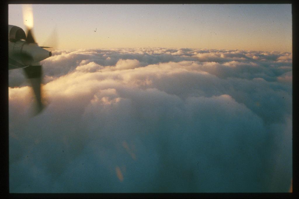
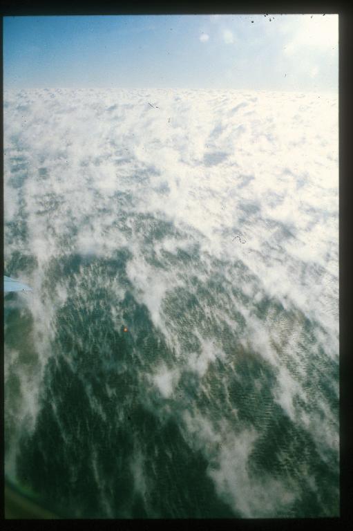
- 13:54a and
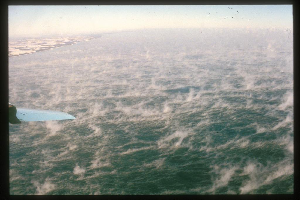
13:54b Looking left at shoreline (south view) near upwind edge of "clouds." Note whitecaps on lake and steam fog trails.
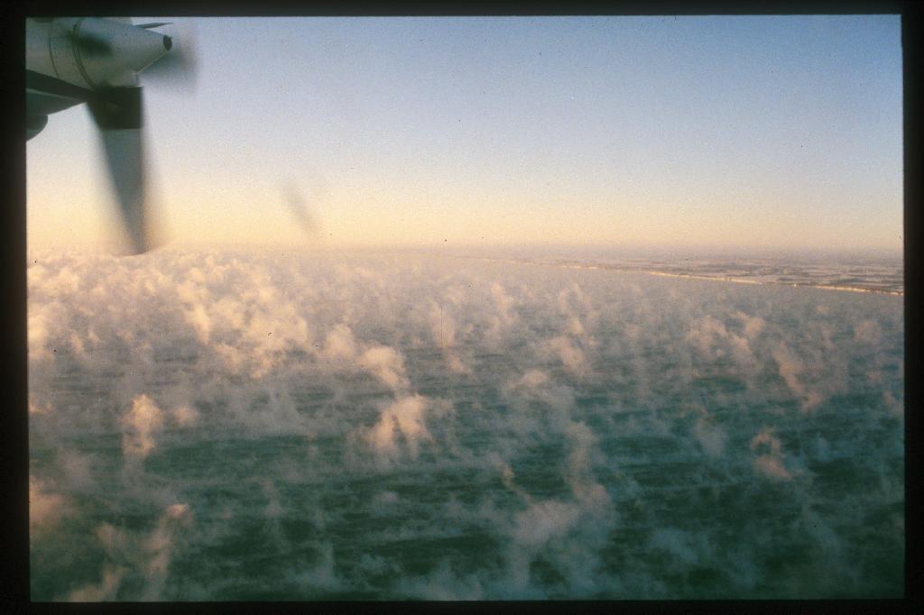
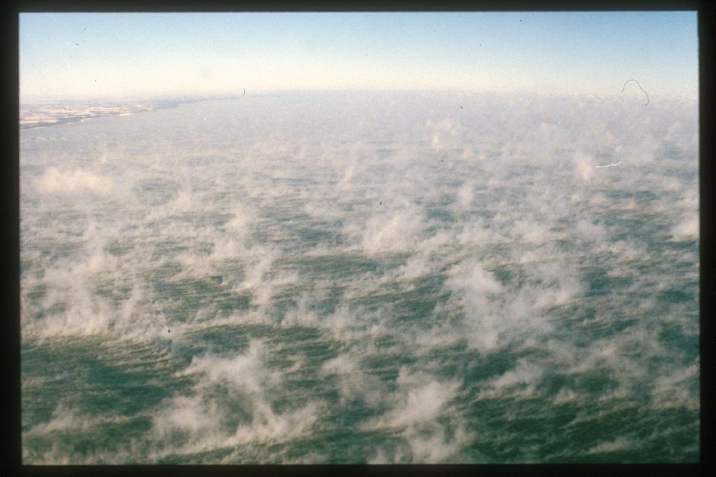
- 14:25 Looking left (south) at steam fog and western shore of lake. A/C data show airmass boundary and wind shift line at about mid-lake.
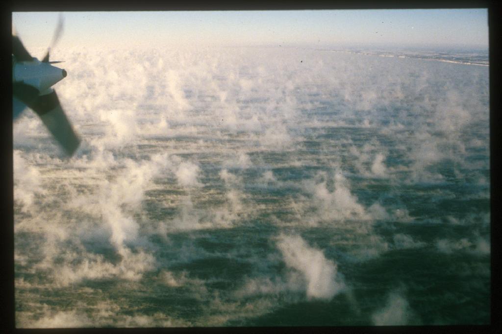
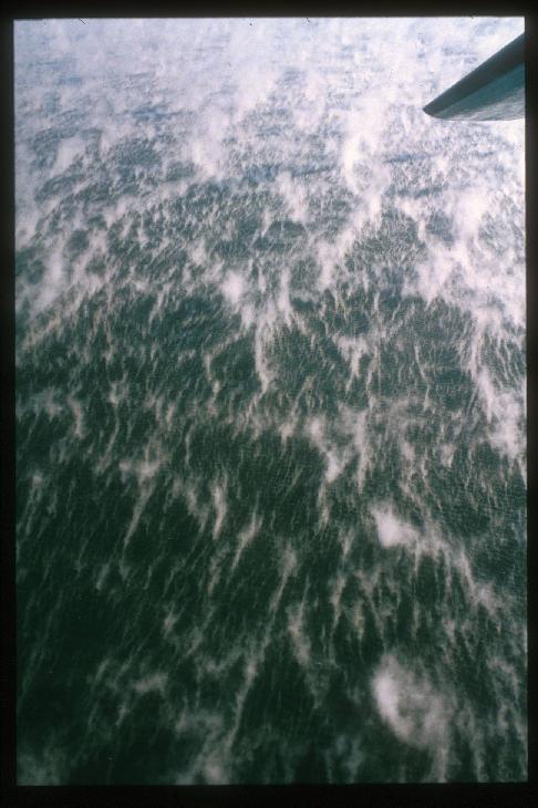
- 14:55 Looking right, downwind (east) from west end of track, during turn. The photo seems out of focus, but it's okay -- surface waves are sharp.
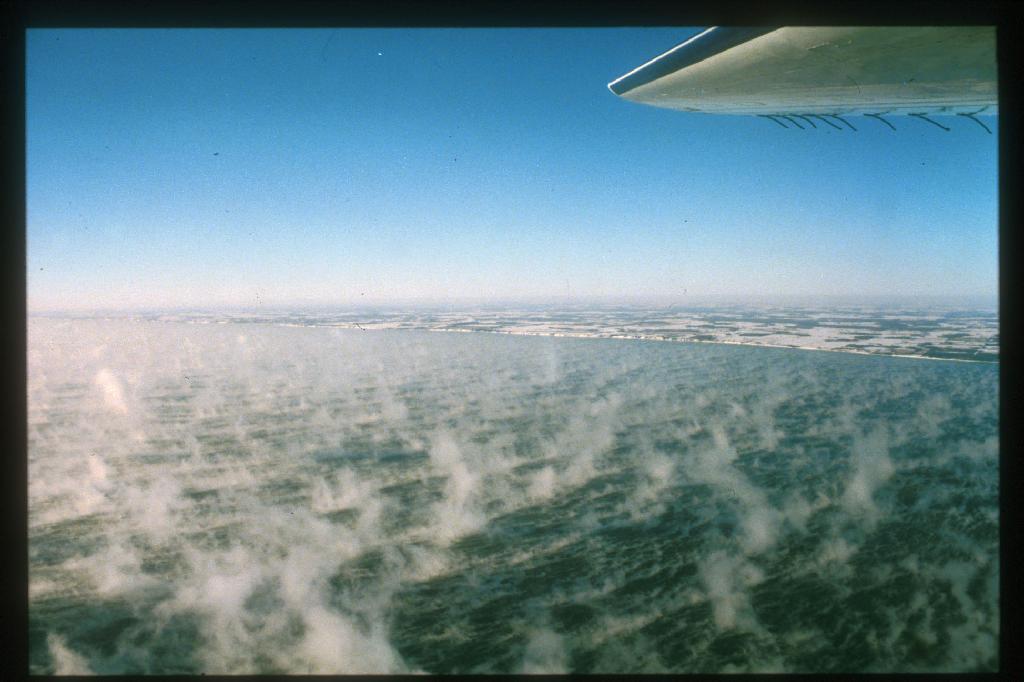
- 15:27 Looking right (south) at western lake shore. Horizontal stabilizer in view. K/A cloud tops -21C; same as Electra down low.
- 15:55a and
15:55b Looking right (north) near western lake shore at steam fog, onset of cloud formation.
- 15:56a and
15:56b Looking right (north) near western lake shore at steam fog, during start of turn for next downwind run. Second photo is looking directly downwind.
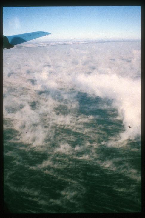
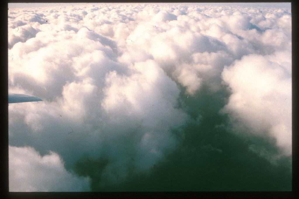
- 17:23 Looking right at hole in Sc "pillows" near downwind limit of track. Can see lake surface and virga.
Back to
Dave's Lake-ICE page
or
Jan 13 case discussion