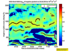
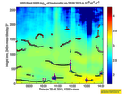
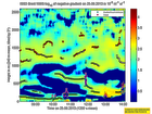
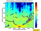
Click on the thumbnail image to view the full-size image.
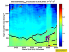
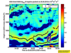
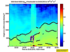
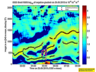
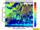
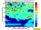
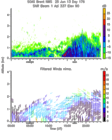
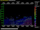
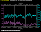
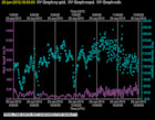
201306250000.Density
|
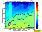
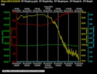
201306250000.Gradient
|
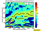
201306250200.Density
|
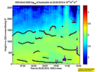
201306250200.Gradient
|
201306250400.Density
|
201306250400.Gradient
|
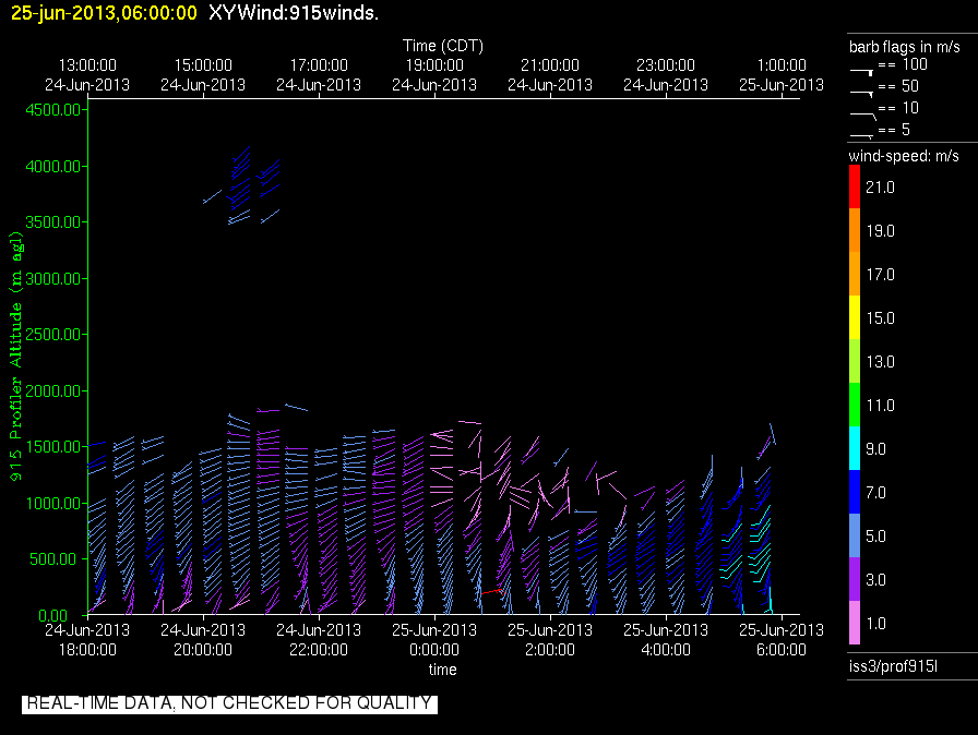
201306250600.Density
|
201306250600.Gradient
|
201306250800.Density
|
201306250800.Gradient
|
201306251000.Density
|
201306251000.Gradient
|
201306251200.Density
|
201306251200.Gradient
|
201306251400.Density
|
201306251400.Gradient
|
201306251600.Density
|
201306251600.Gradient
|
201306251800.Density
|
201306251800.Gradient
|
201306252000.Density
|
201306252000.Gradient
|
201306252200.Density
|
201306252200.Gradient
|
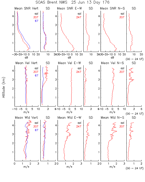
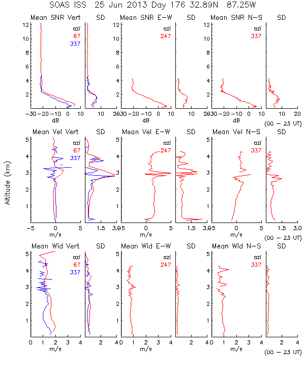
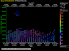
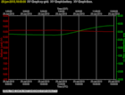
201306250000.Moments
|
201306250000.NIMA_Consensus_Dia...
|
201306250000.NIMA_Consensus_Mom...
|
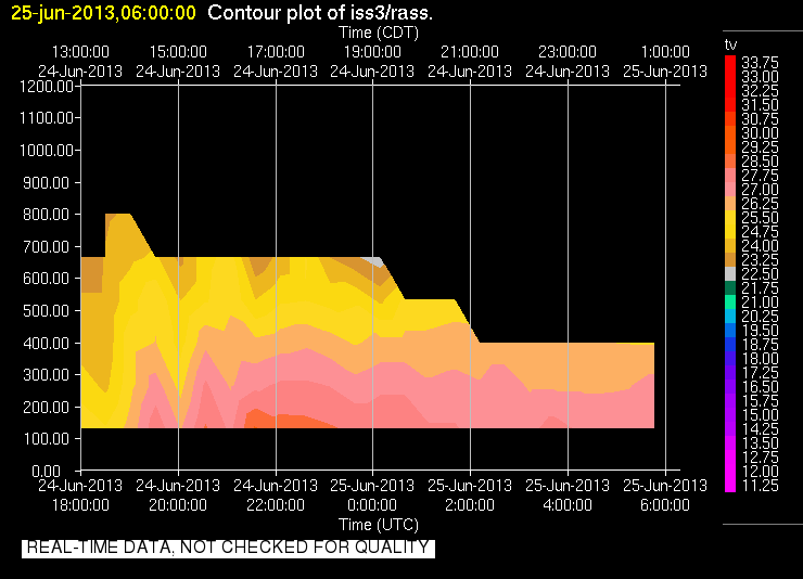
201306250000.NIMA_Consensus_RASS
|
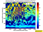
201306250000.NIMA_Diagnostic
|
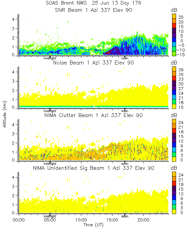
201306250000.NIMA_Moments
|
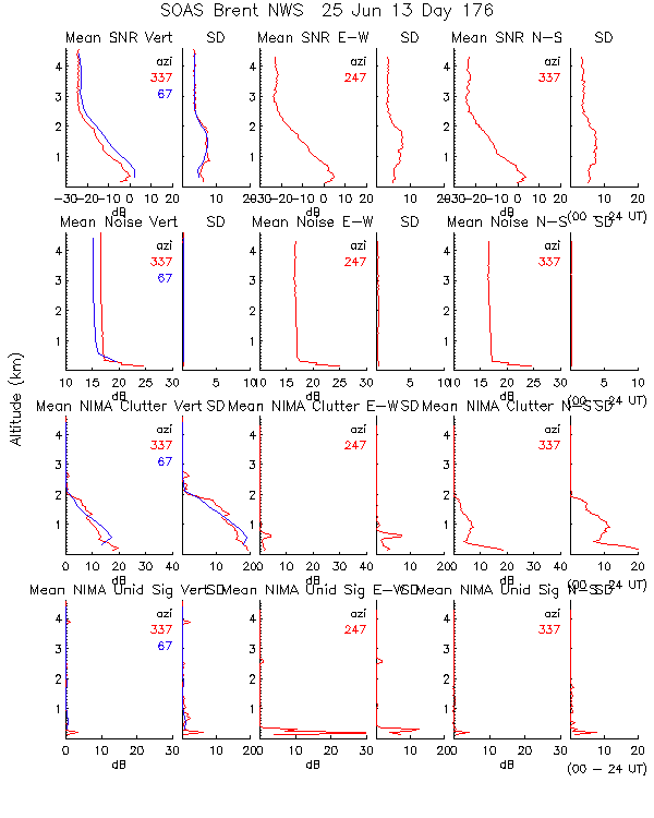
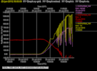
201306250000.Profiles
|
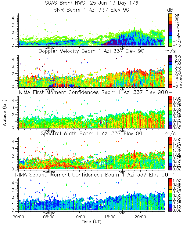
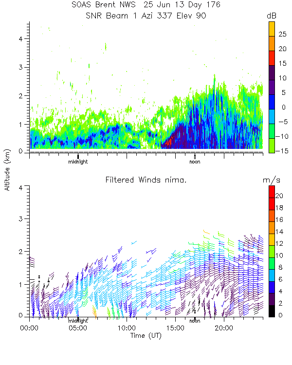
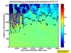
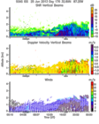
201306250000.SNR_Winds
|
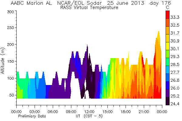
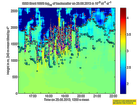
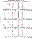
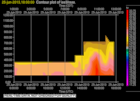
201306250600.RASS
|
201306250600.Wind_Profile_Low
|
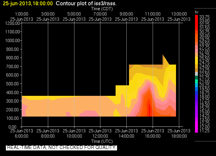
201306251800.RASS
|
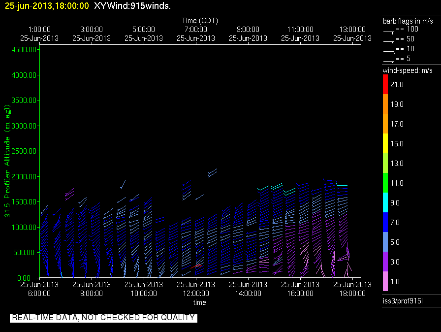
201306251800.Wind_Profile_Low
|
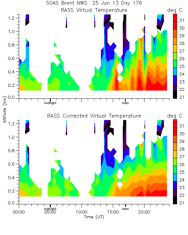
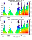
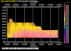
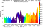
201306250000.RASS_Temperatures
|
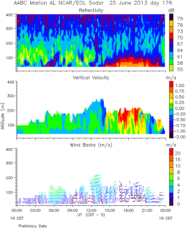
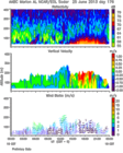
201306250000.Wind_Reflectivity
|
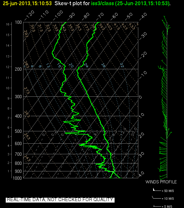
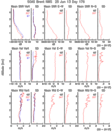
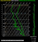
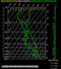
201306251510.SkewT
|
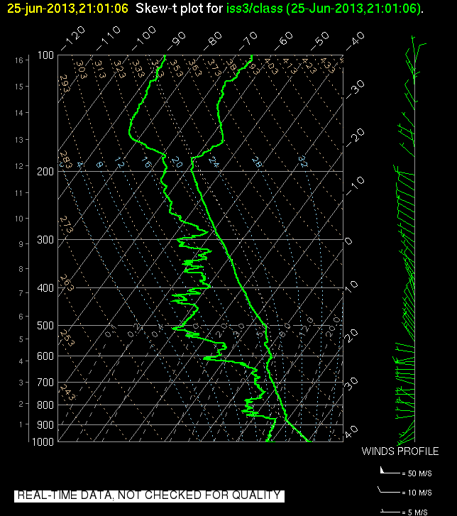
201306252101.SkewT
|
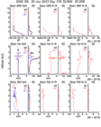
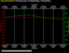
201306250600.Diagnostics
|
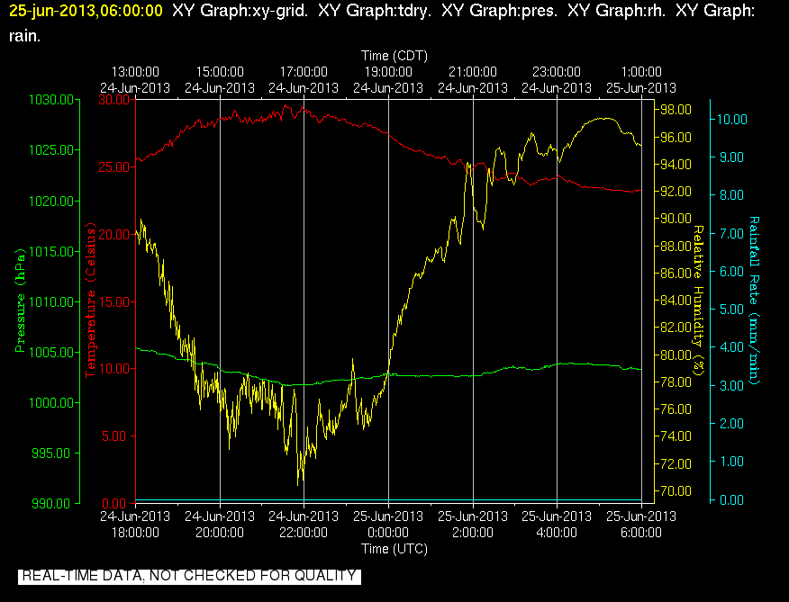
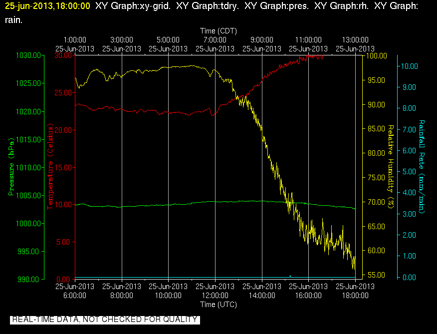
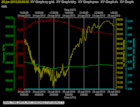
201306250600.Surface_Met
|
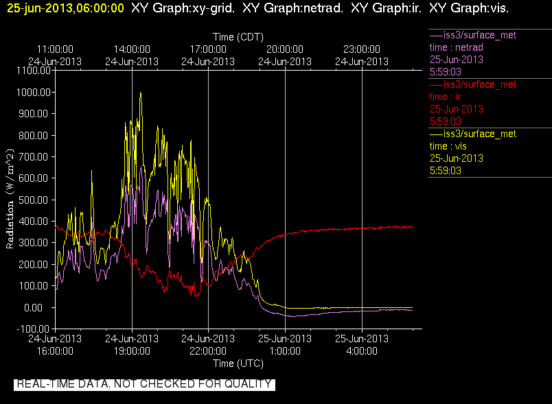
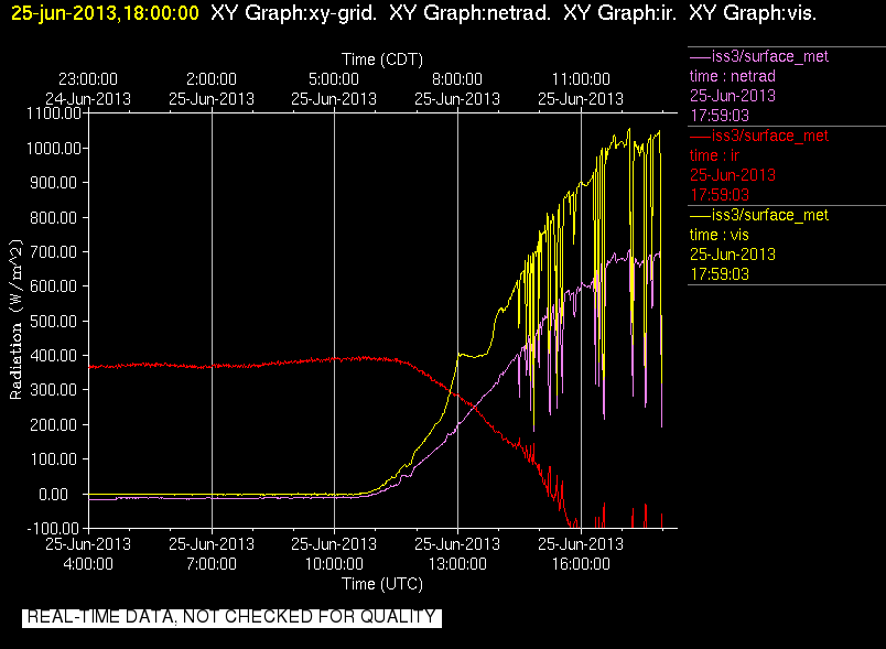
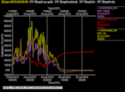
201306250600.Surface_Rad
|
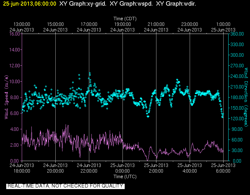
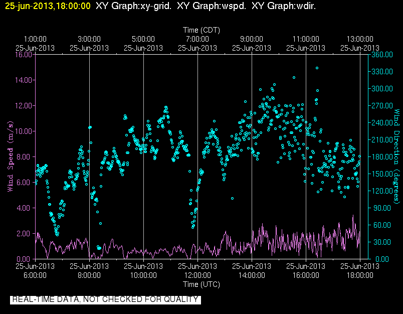
201306250600.Surface_Wind
|
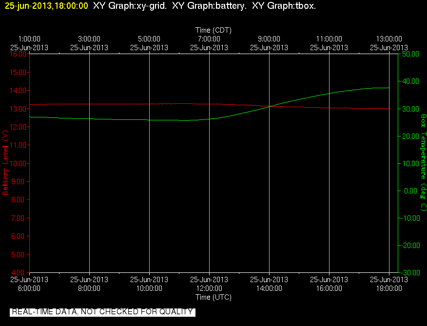
201306251800.Diagnostics
|
201306251800.Surface_Met
|
201306251800.Surface_Rad
|
201306251800.Surface_Wind
|
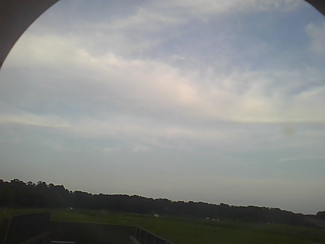
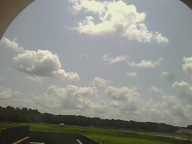
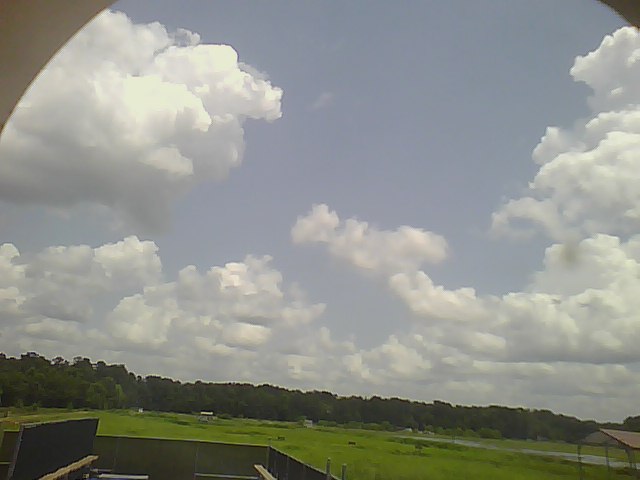
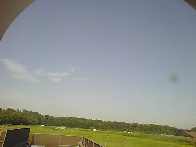
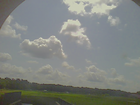
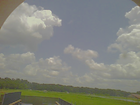
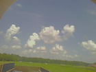
201306250000.Photo
|
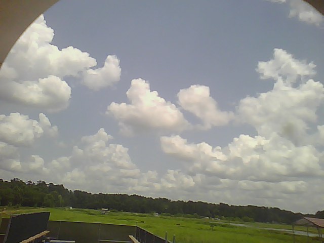
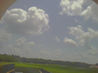
201306250025.Photo
|
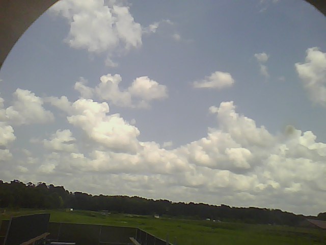
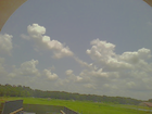
201306250055.Photo
|
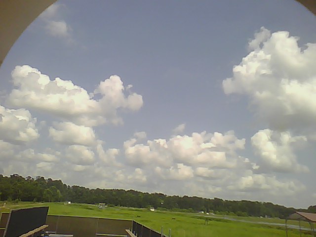
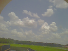
201306250200.Photo

|
201306250225.Photo

|
201306250255.Photo
|
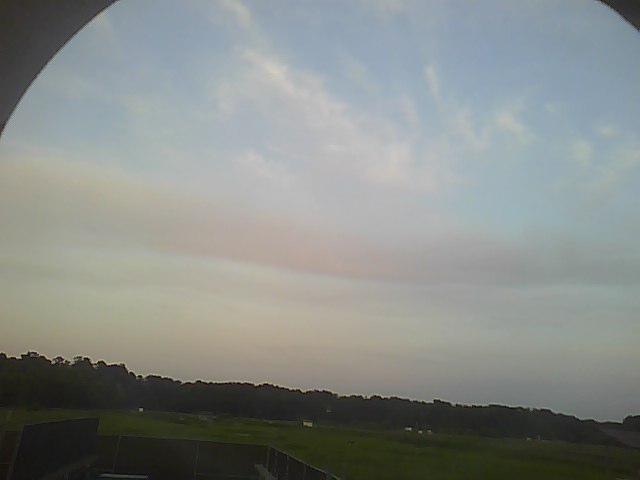
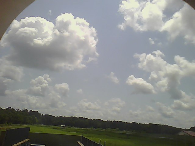
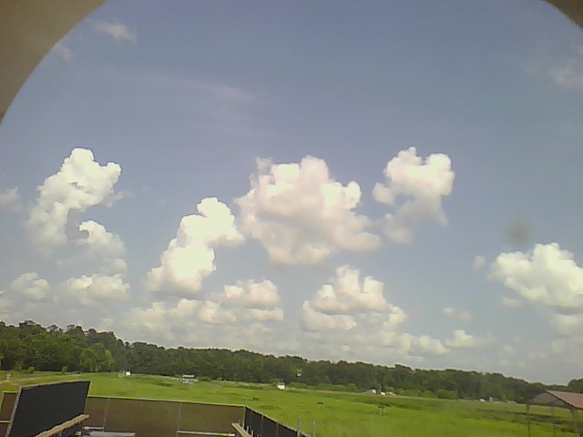
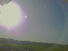
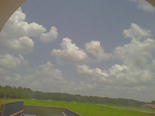
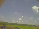
201306251000.Photo

|
201306251025.Photo

|
201306251055.Photo
|
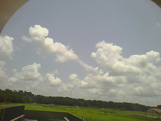
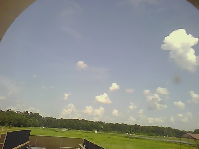
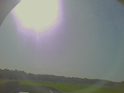
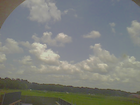
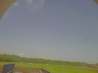
201306251200.Photo
|
201306251225.Photo
|
201306251255.Photo
|
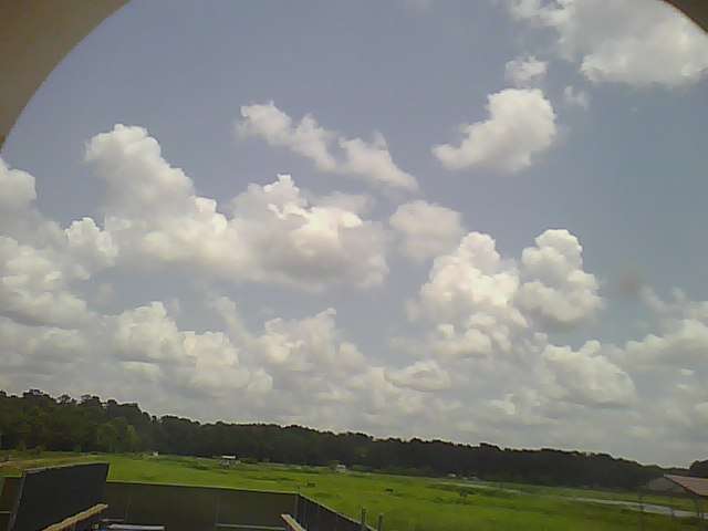
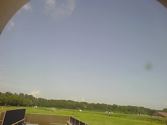
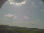
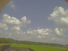
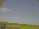
201306251400.Photo
|
201306251425.Photo
|
201306251455.Photo
|
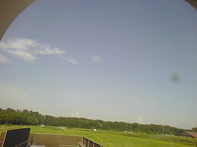
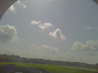
201306251600.Photo
|
201306251625.Photo

|
201306251655.Photo
|
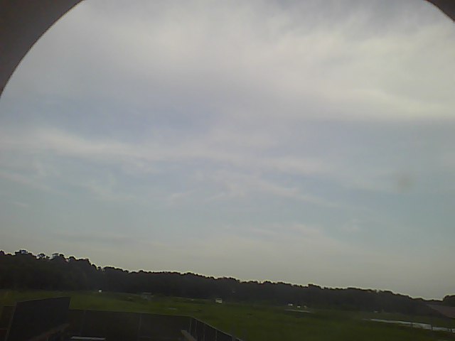
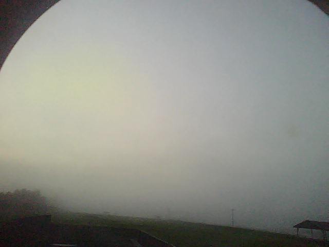
201306251800.Photo
|
201306251825.Photo
|
201306251835.Photo
|
201306251840.Photo
|
201306251855.Photo
|
201306252000.Photo
|
201306252025.Photo
|
201306252055.Photo
|
201306252200.Photo
|
201306252225.Photo
|
201306252250.Photo
|