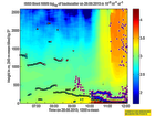
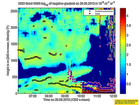
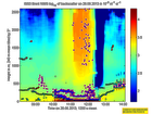
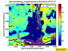
Click on the thumbnail image to view the full-size image.
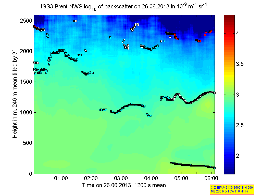
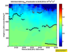
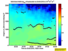
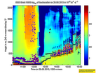
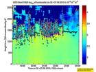
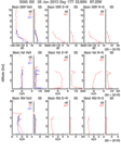
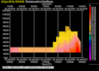
201306260000.Density
|
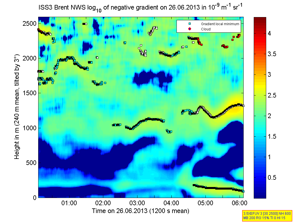
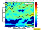
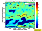
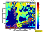
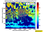
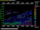
201306260000.Gradient
|
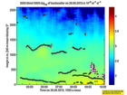
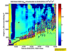
201306260200.Density
|
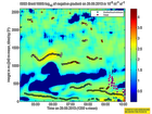
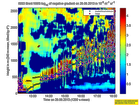
201306260200.Gradient
|
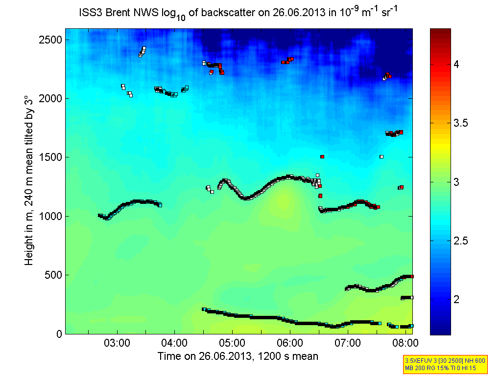
201306260400.Density
|
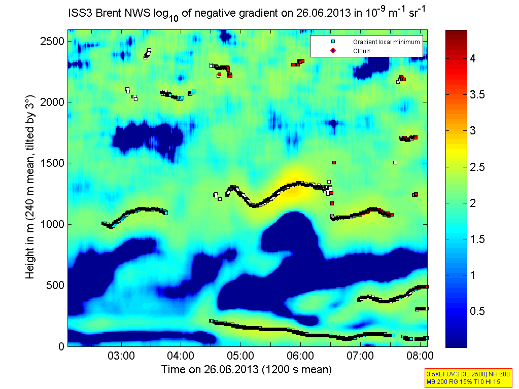
201306260400.Gradient
|
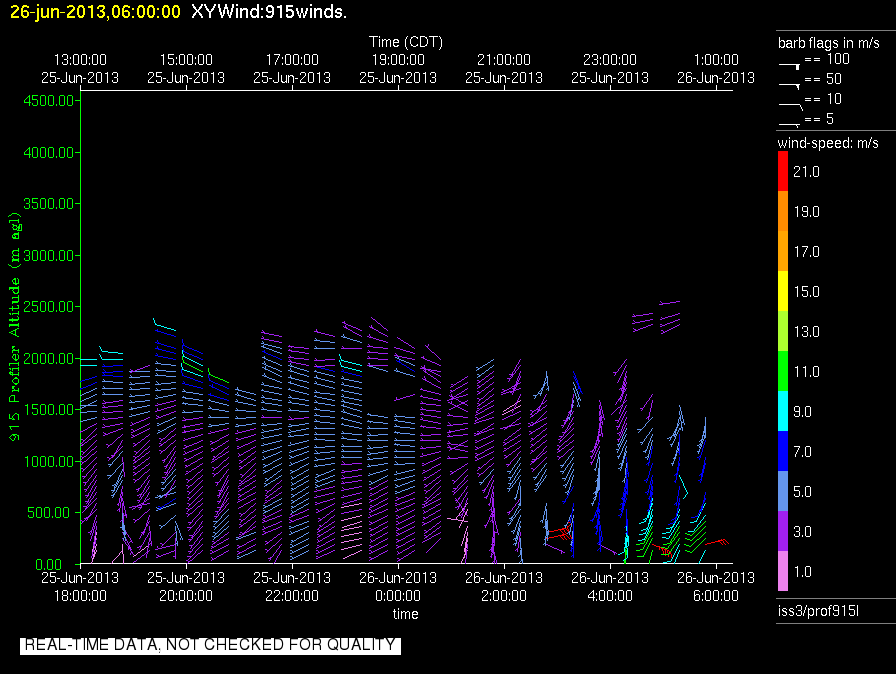
201306260600.Density
|
201306260600.Gradient
|
201306260800.Density
|
201306260800.Gradient
|
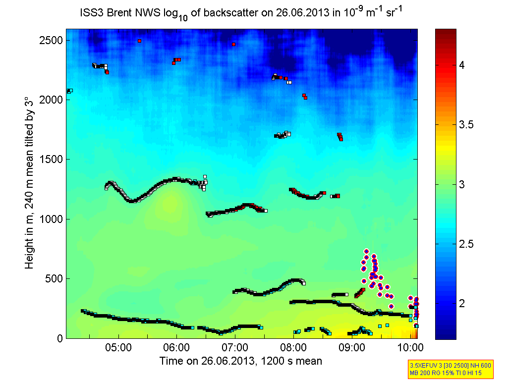
201306261000.Density
|
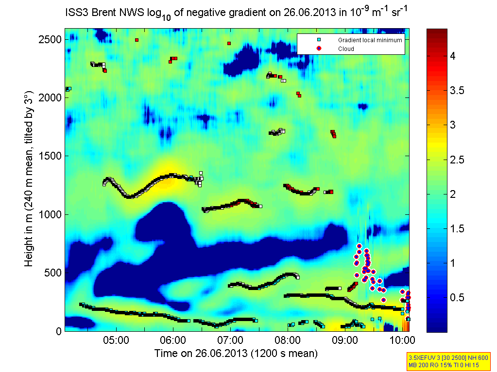
201306261000.Gradient
|
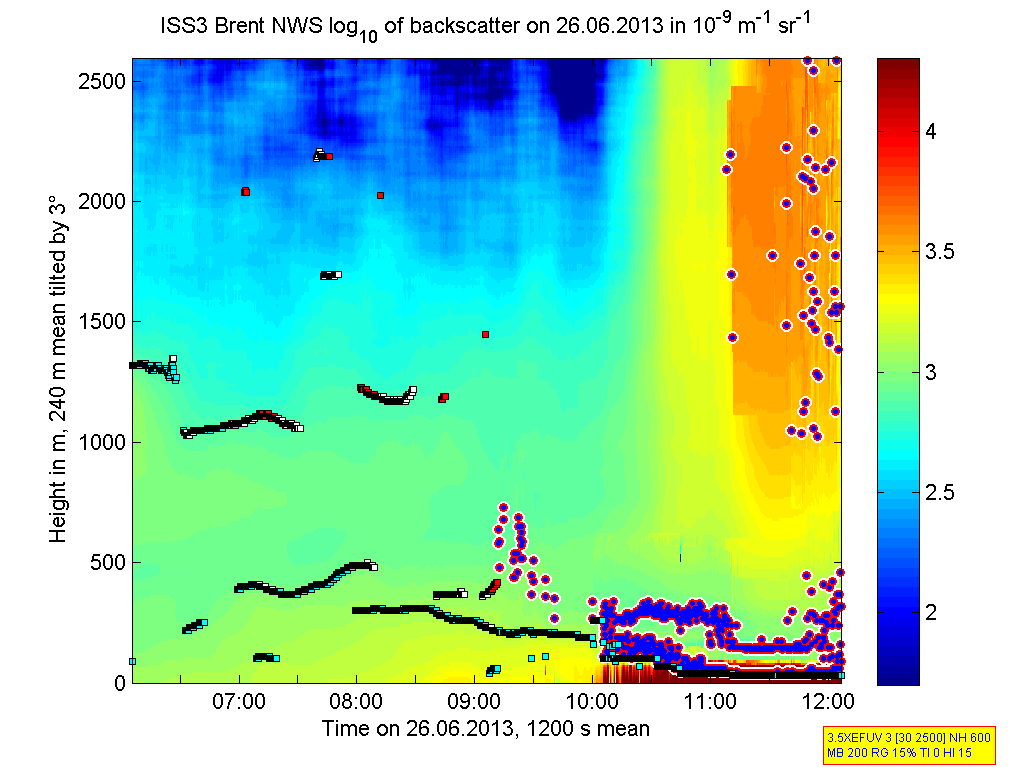
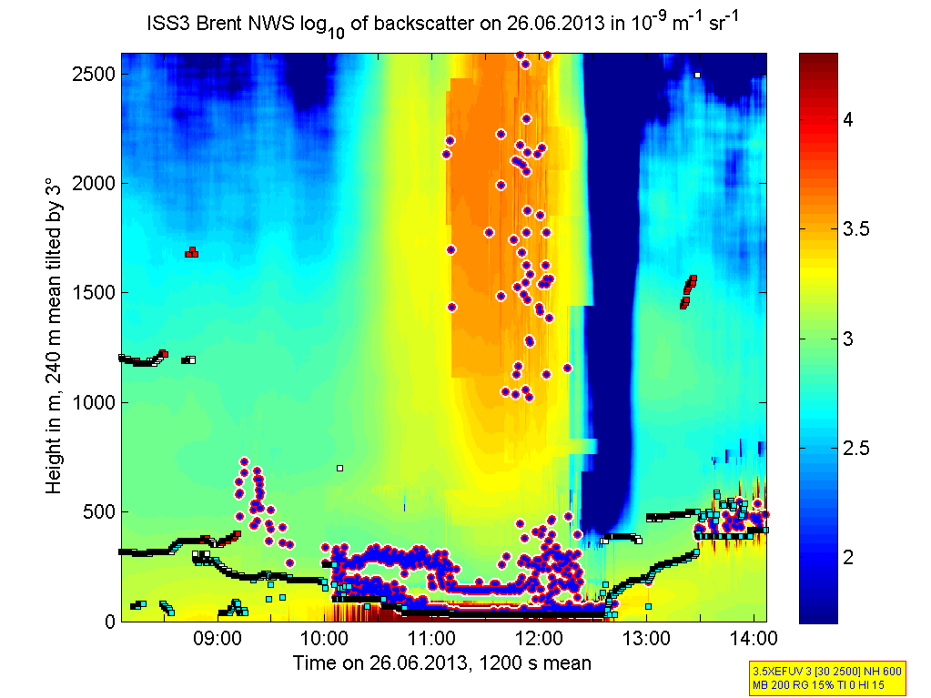
201306261200.Density
|
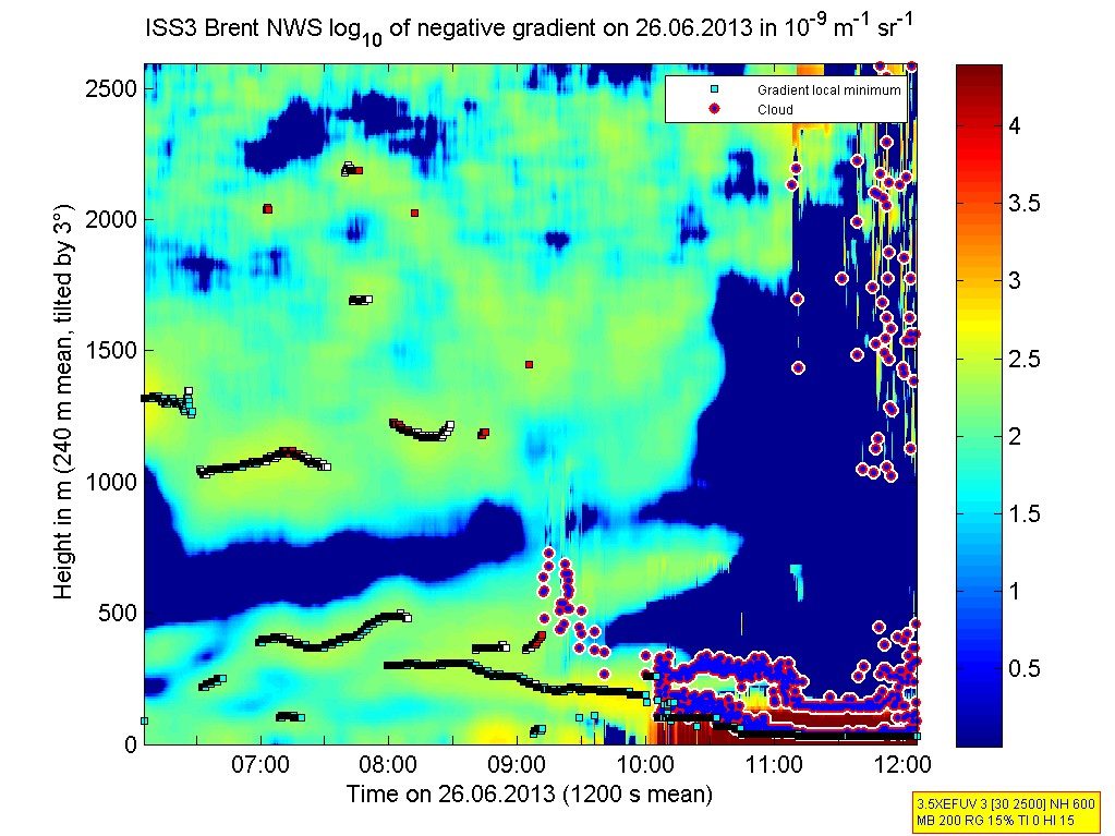
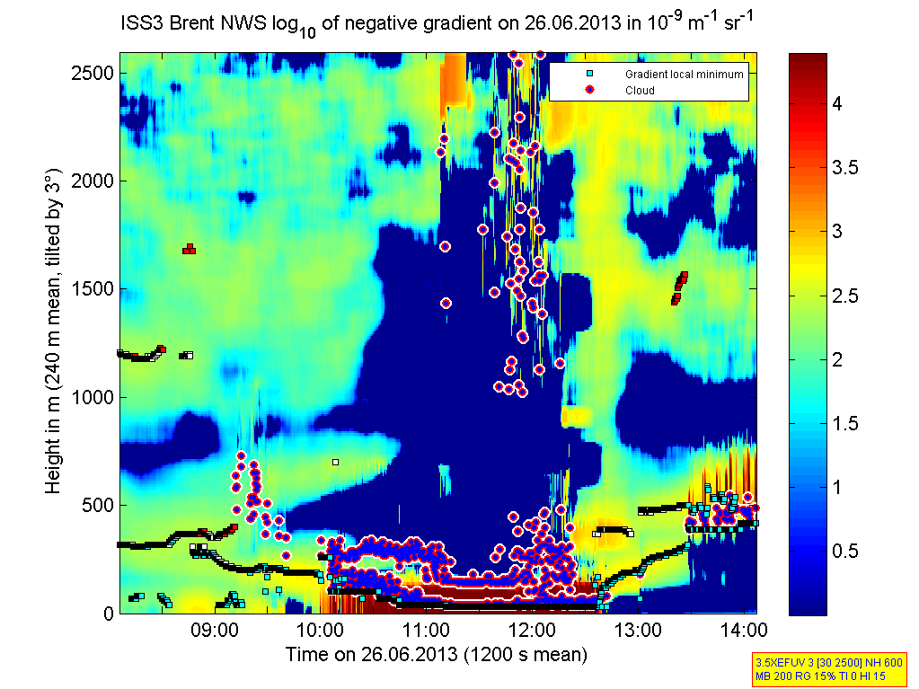
201306261200.Gradient
|
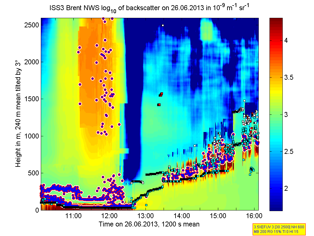
201306261800.Density
|
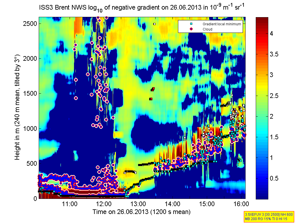
201306261800.Gradient
|
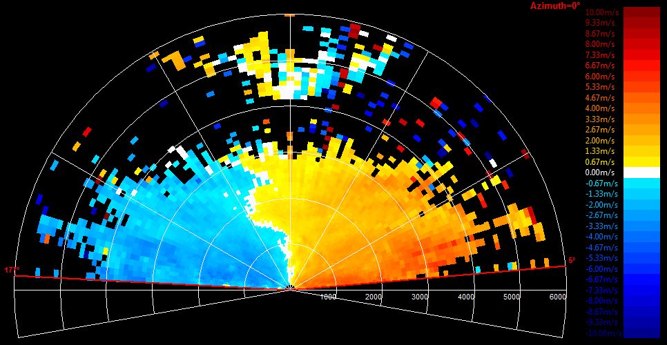
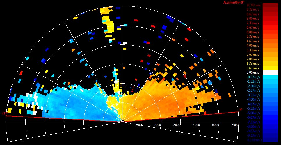
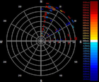
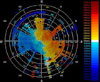
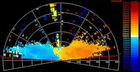
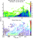
201306261611.PPI
|
201306261620.PPI
|
201306261800.PPI
|
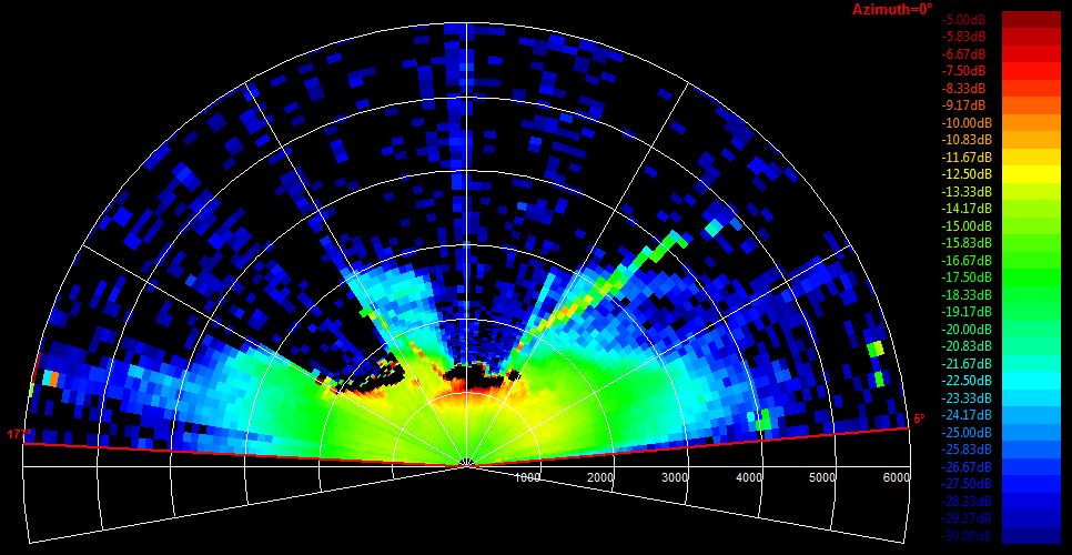
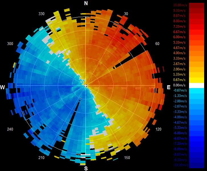
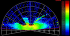
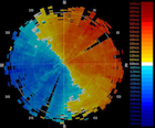
201306261816.RHI
|
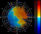
201306262000.PPI
|
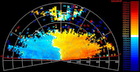
201306262015.RHI
|
201306262201.RHI
|
201306262206.PPI
|
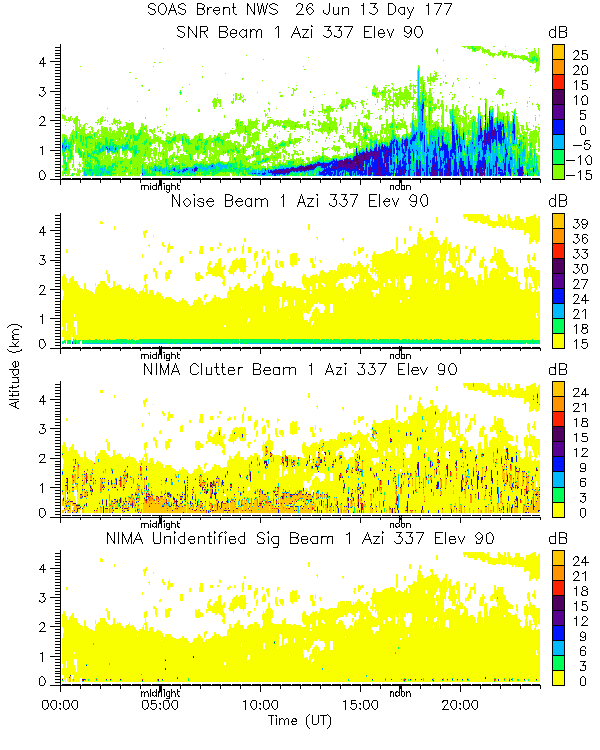
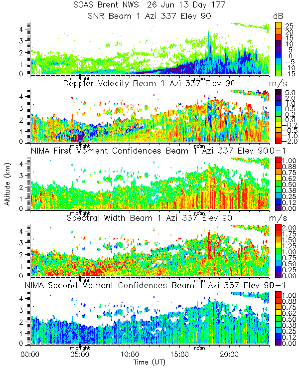
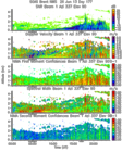
201306260000.Moments
|
201306260000.NIMA_Consensus_Dia...
|
201306260000.NIMA_Consensus_Mom...
|
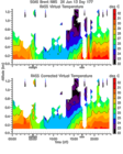
201306260000.NIMA_Consensus_RASS
|
201306260000.NIMA_Diagnostic
|
201306260000.NIMA_Moments
|
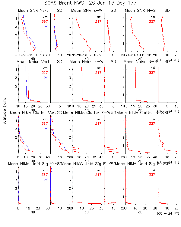
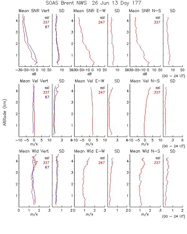
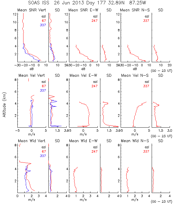
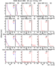
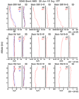
201306260000.Profiles
|
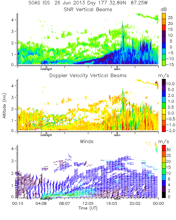
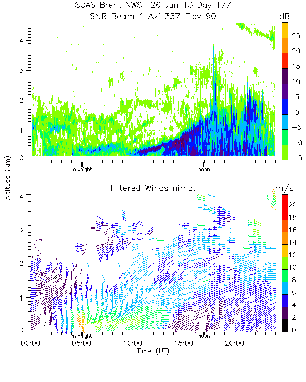
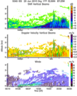
201306260000.SNR_Winds
|
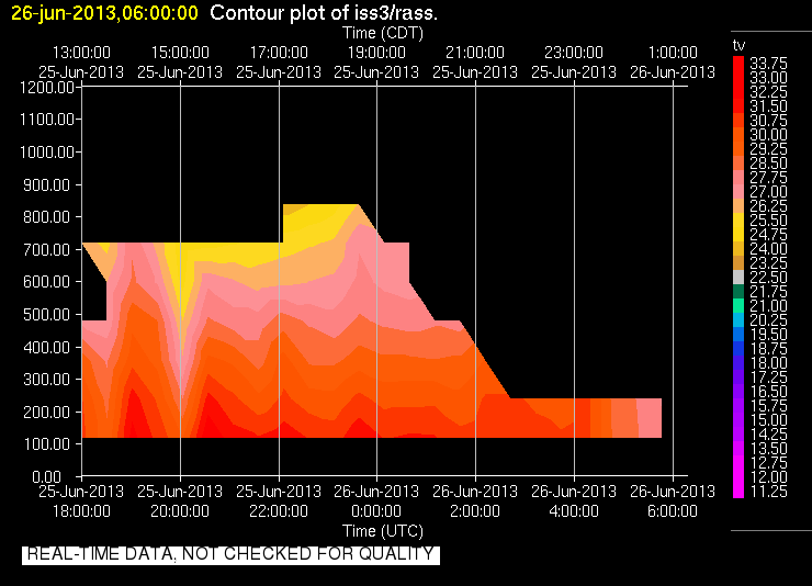
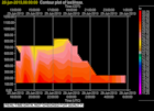
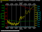
201306260600.RASS
|
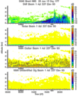
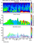
201306260600.Wind_Profile_Low
|
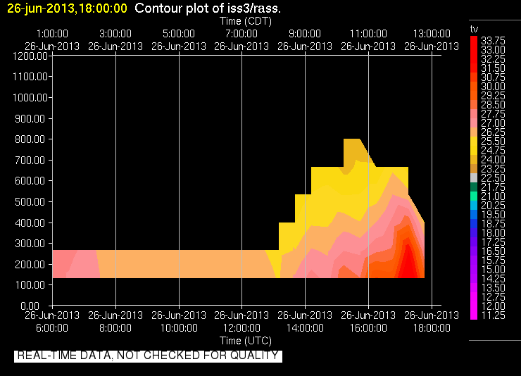
201306261800.RASS
|
201306261800.Wind_Profile_Low
|
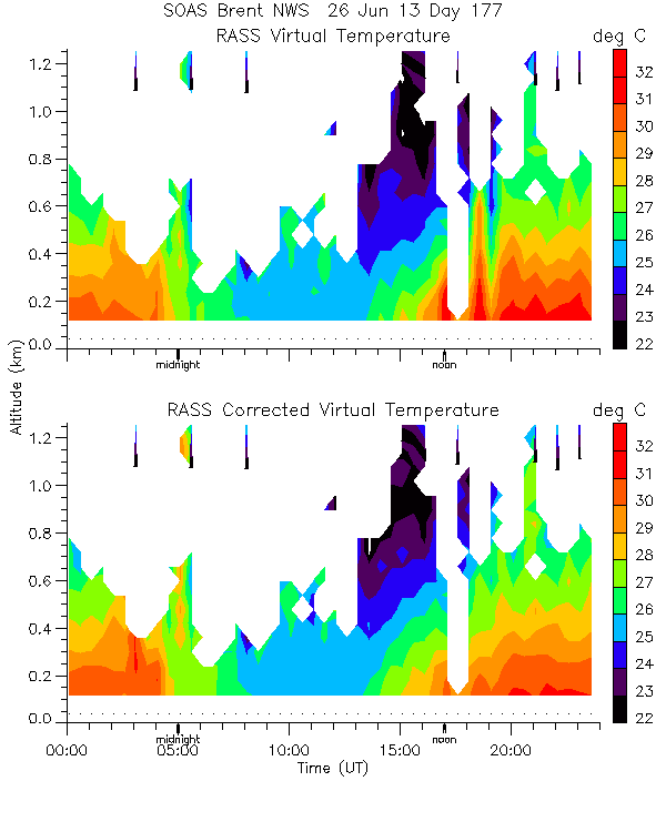
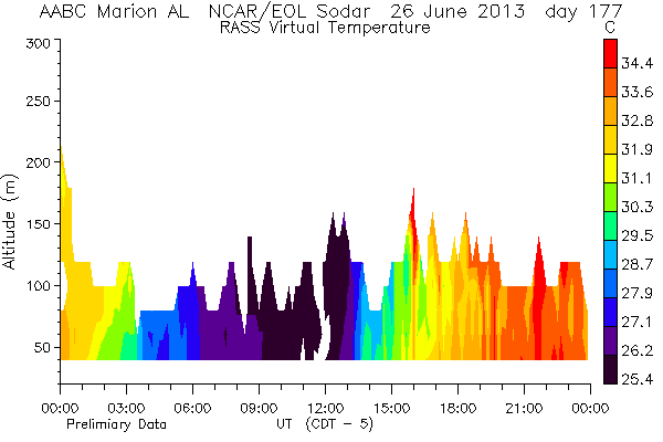
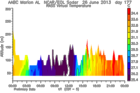
201306260000.RASS_Temperatures
|
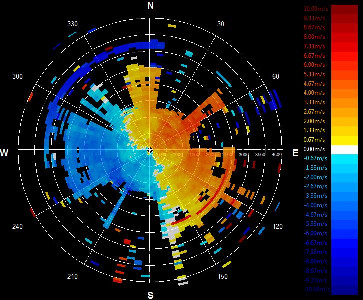
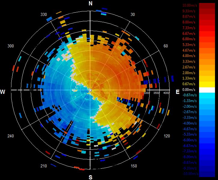
201306260000.Wind_Reflectivity
|
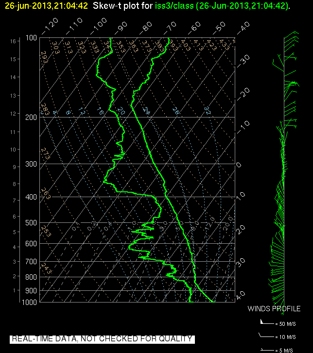
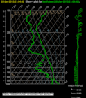
201306262104.SkewT
|
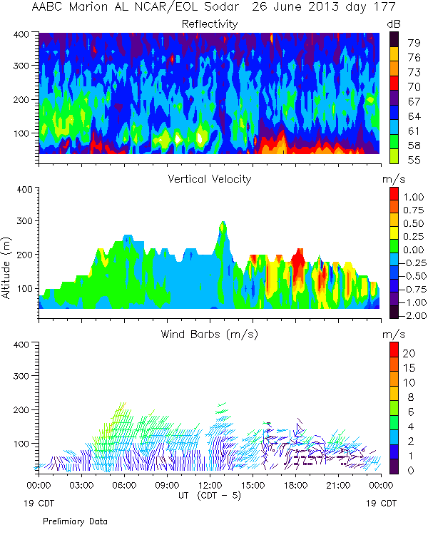
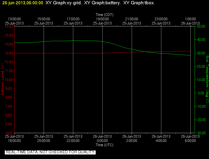
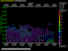
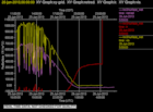
201306260600.Diagnostics

|
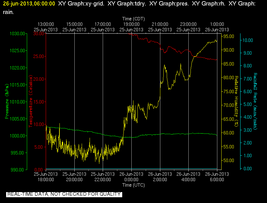
201306260600.Surface_Met
|
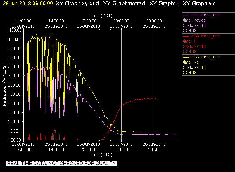
201306260600.Surface_Rad
|
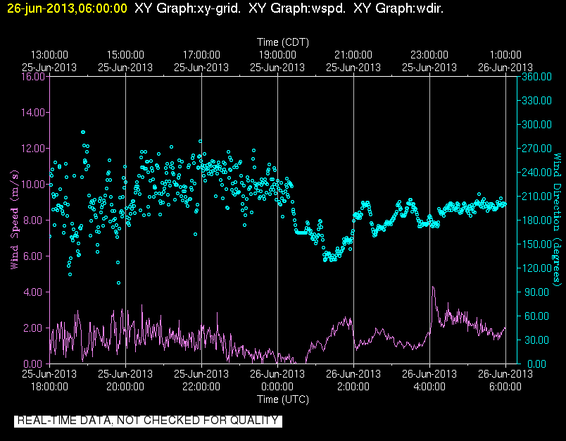
201306260600.Surface_Wind
|
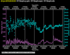
201306261800.Diagnostics
|
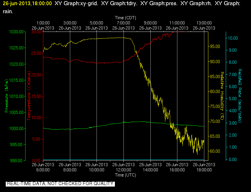
201306261800.Surface_Met
|
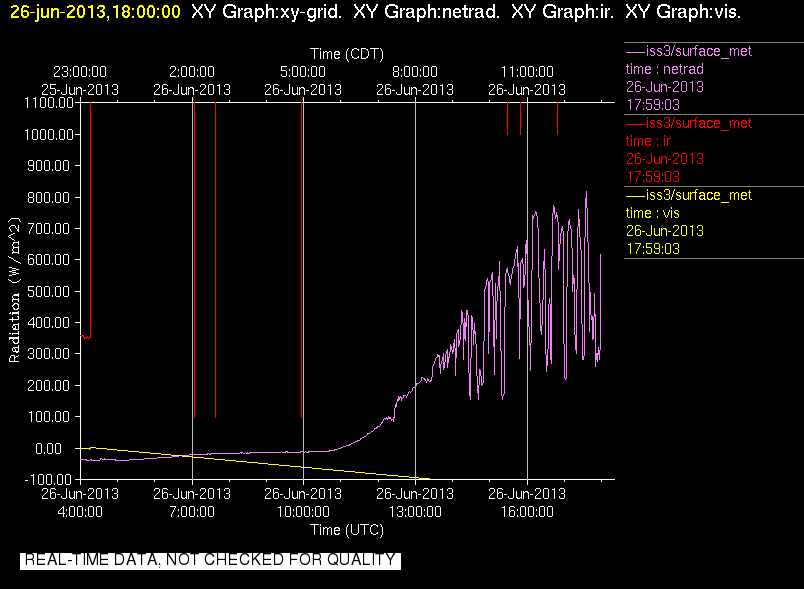
201306261800.Surface_Rad
|
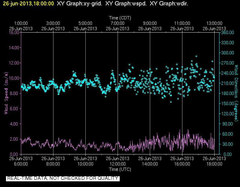
201306261800.Surface_Wind
|
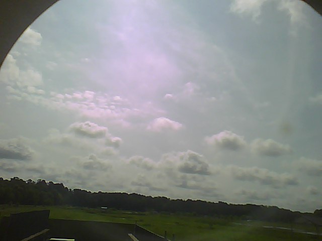
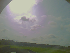
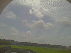
201306260000.Photo
|
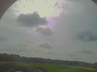
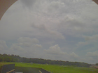
201306260025.Photo
|
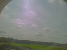
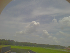
201306260055.Photo
|
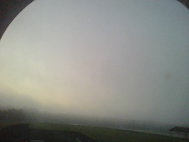
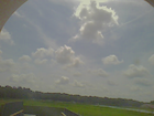
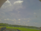
201306260200.Photo
|
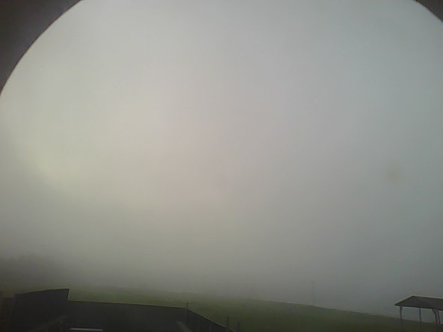
201306260225.Photo
|
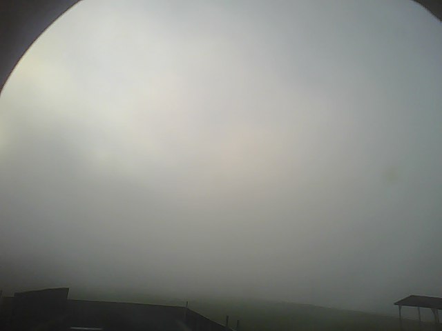
201306260255.Photo
|
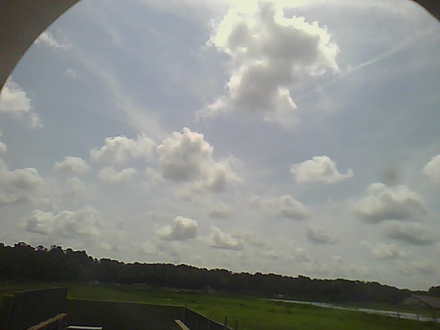
201306261000.Photo
|
201306261025.Photo
|
201306261055.Photo
|
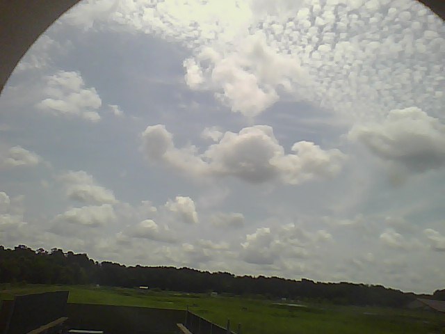
201306261200.Photo
|
201306261225.Photo
|
201306261250.Photo
|
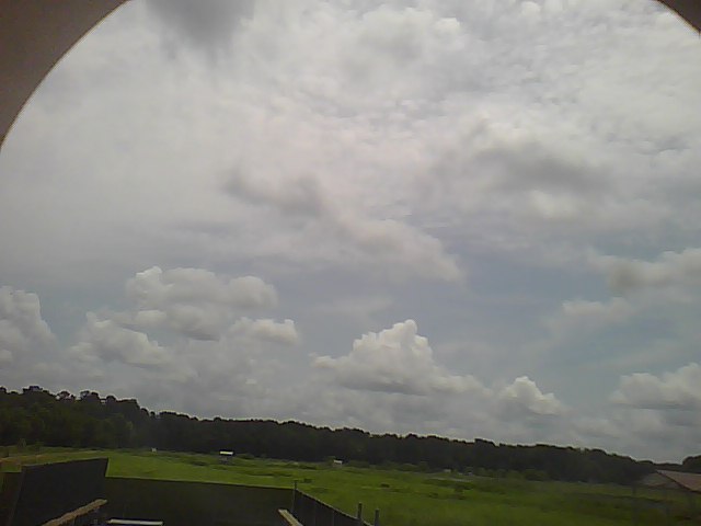
201306261400.Photo
|
201306261425.Photo
|
201306261450.Photo
|
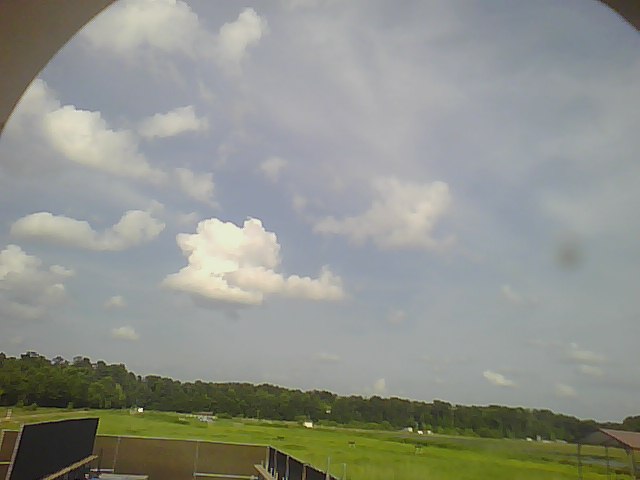
201306261600.Photo
|
201306261625.Photo
|
201306261655.Photo
|
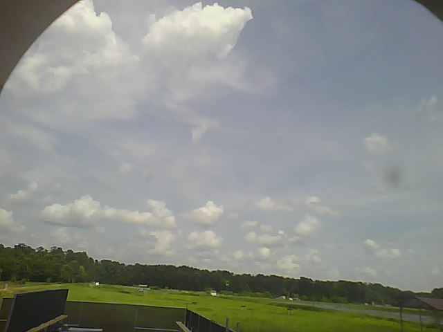
201306261800.Photo
|
201306262000.Photo
|
201306262200.Photo
|