Click on the thumbnail image to view the full-size image.
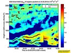
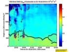
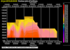
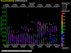
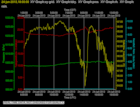
201306240000.Density
|
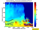
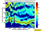
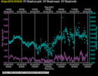
201306240000.Gradient
|
201306240200.Density
|
201306240200.Gradient
|
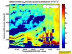
201306240400.Density
|
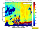
201306240400.Gradient
|
201306240600.Density
|
201306240600.Gradient
|
201306240800.Density

|
201306240800.Gradient
|
201306241000.Density
|
201306241000.Gradient

|
201306241200.Density
|
201306241200.Gradient

|
201306241400.Density
|
201306241400.Gradient

|
201306241600.Density
|
201306241600.Gradient
|
201306241800.Density
|
201306241800.Gradient
|
201306242000.Density
|
201306242000.Gradient

|
201306242200.Density
|
201306242200.Gradient
|
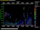
201306240000.Moments
|
201306240000.NIMA_Consensus_Dia...
|
201306240000.NIMA_Consensus_Mom...
|
201306240000.NIMA_Consensus_RASS
|
201306240000.NIMA_Diagnostic

|
201306240000.NIMA_Moments

|
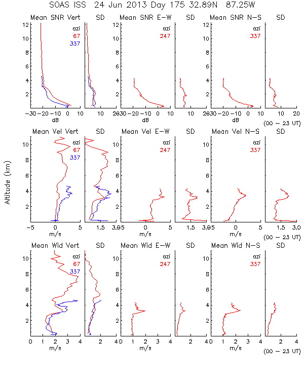
201306240000.Profiles
|
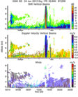
201306240000.SNR_Winds

|
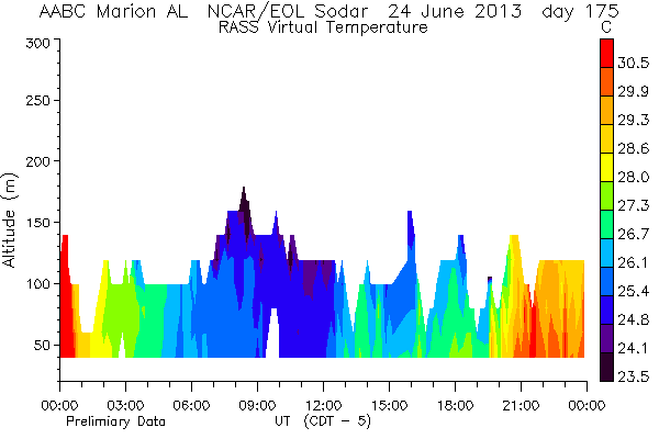
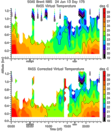
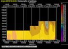
201306240600.RASS
|
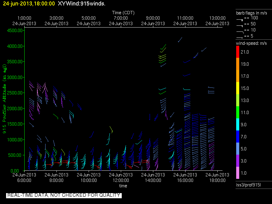
201306240600.Wind_Profile_Low
|
201306241800.RASS
|
201306241800.Wind_Profile_Low
|
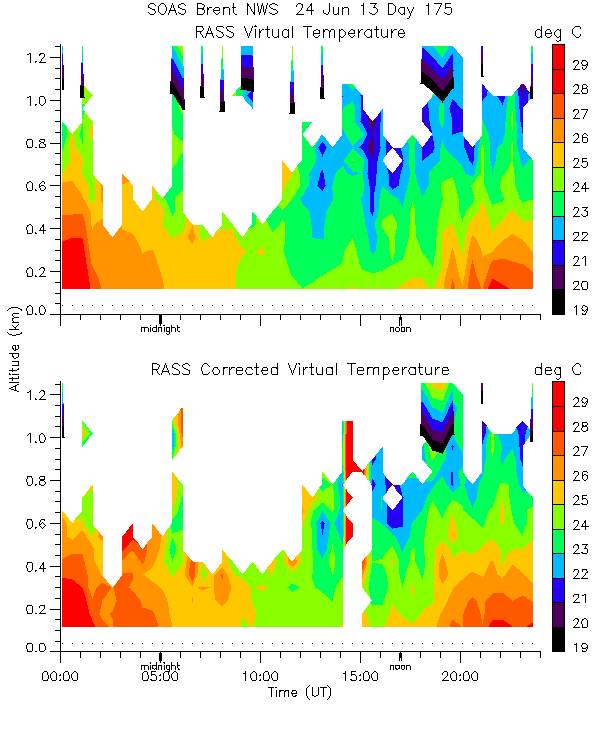
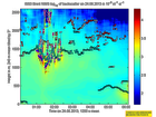
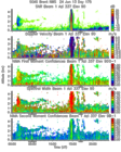
201306240000.RASS_Temperatures
|
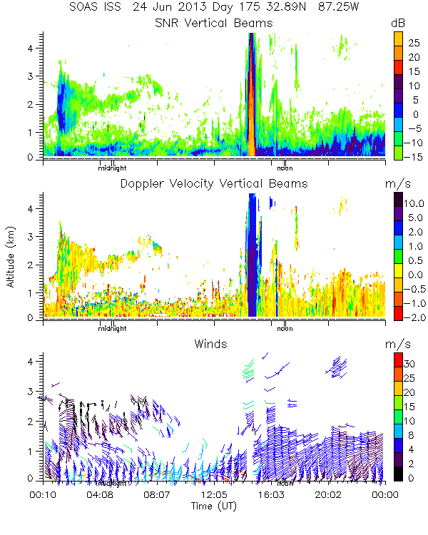
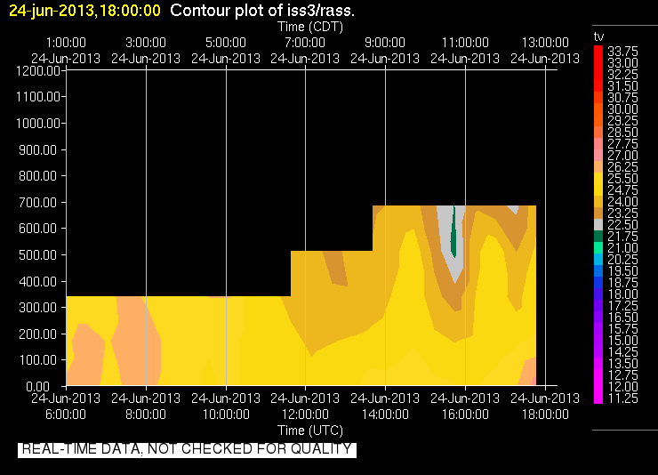
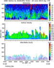
201306240000.Wind_Reflectivity
|
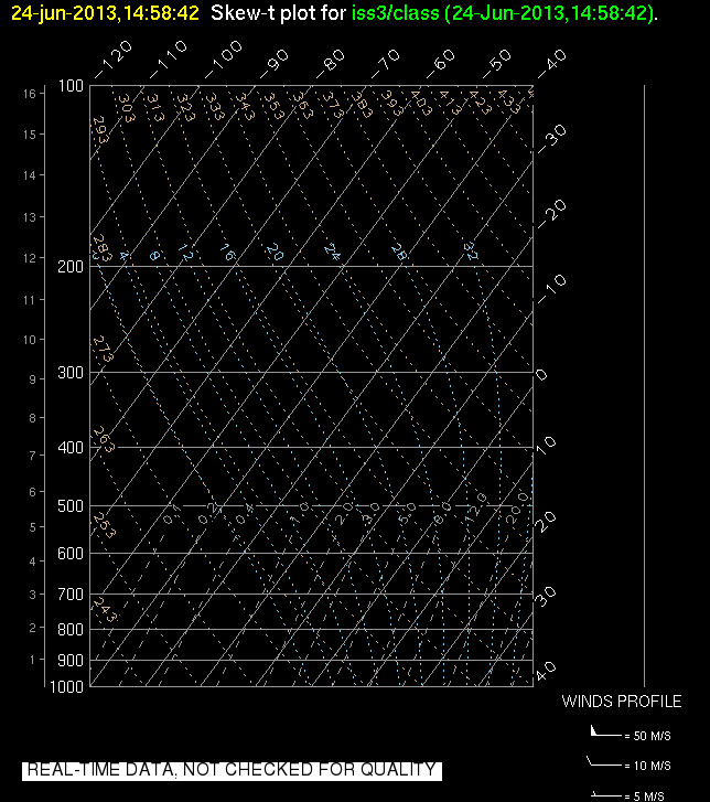
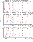
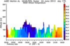
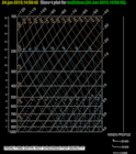
201306241458.SkewT
|
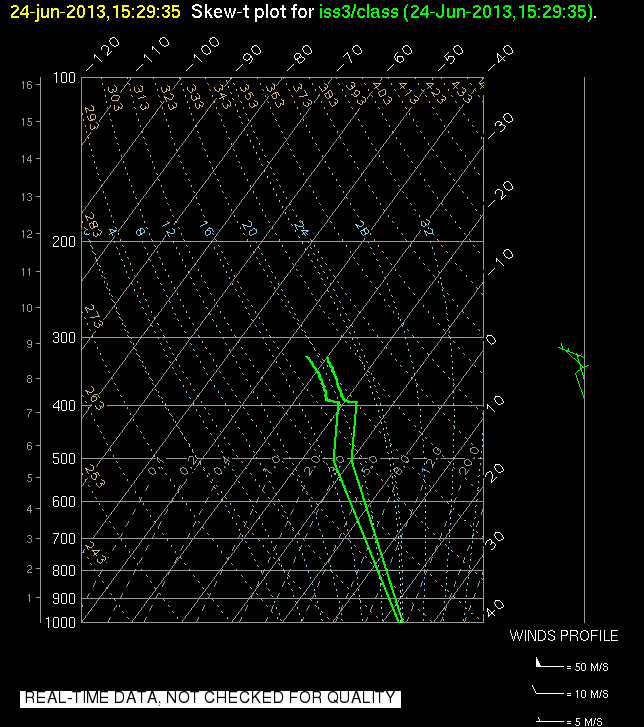
201306241529.SkewT

|
201306242117.SkewT

|
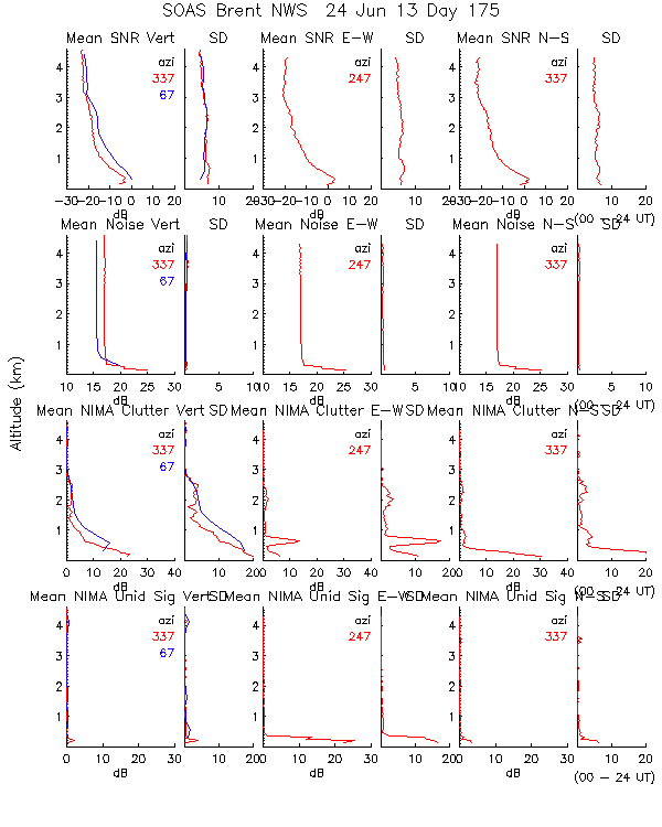
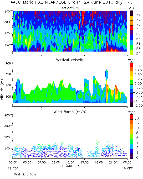
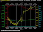
201306240600.Diagnostics
|
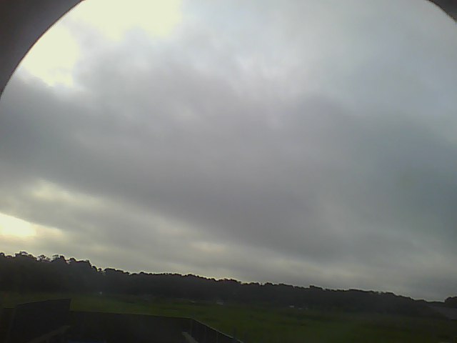
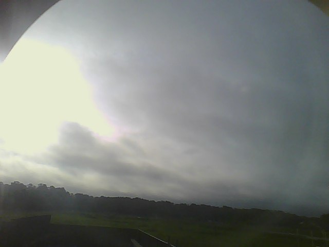
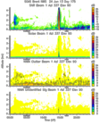
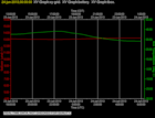
201306240600.Surface_Met
|
201306240600.Surface_Rad

|
201306240600.Surface_Wind

|
201306241800.Diagnostics

|
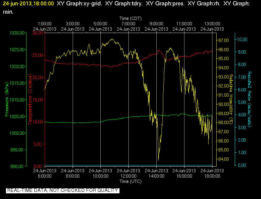
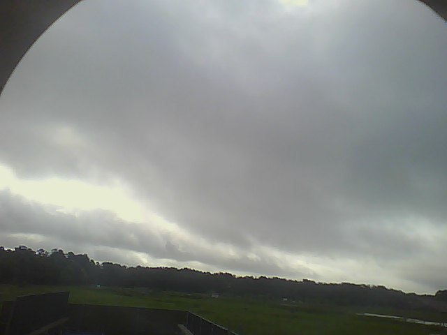
201306241800.Surface_Met
|
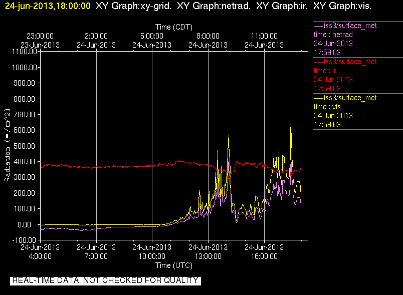
201306241800.Surface_Rad

|
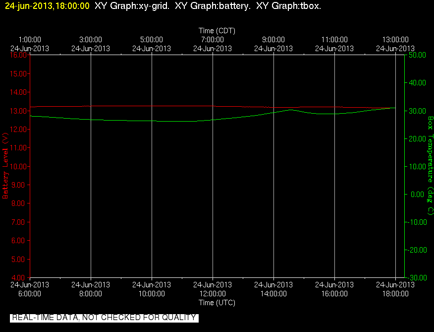
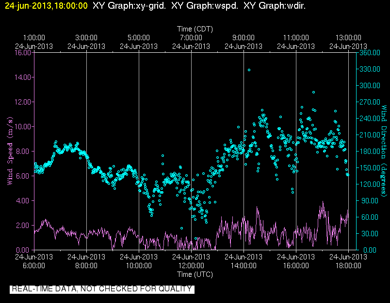
201306241800.Surface_Wind
|
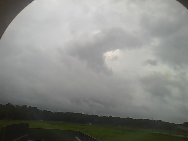
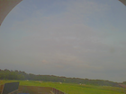
201306240000.Photo
|
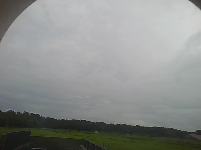
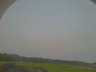
201306240020.Photo

|
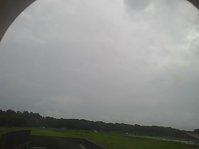
201306240050.Photo
|
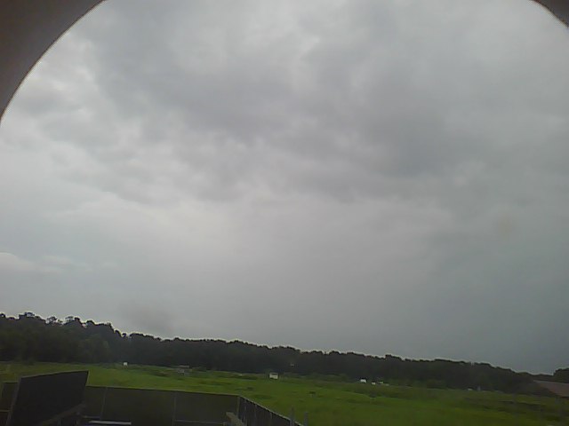
201306240200.Photo

|
201306240220.Photo
|
201306240250.Photo

|
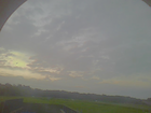
201306241000.Photo

|
201306241020.Photo
|
201306241050.Photo
|
201306241200.Photo

|
201306241220.Photo
|
201306241250.Photo
|
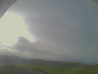
201306241400.Photo
|
201306241420.Photo
|
201306241600.Photo

|
201306241620.Photo
|
201306241655.Photo
|
201306241800.Photo

|
201306241825.Photo
|
201306241855.Photo
|
201306242000.Photo
|
201306242020.Photo

|
201306242055.Photo
|
201306242200.Photo
|
201306242225.Photo
|
201306242255.Photo
|