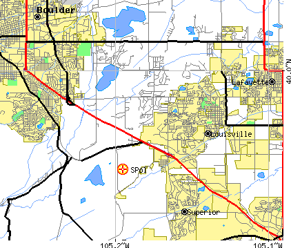
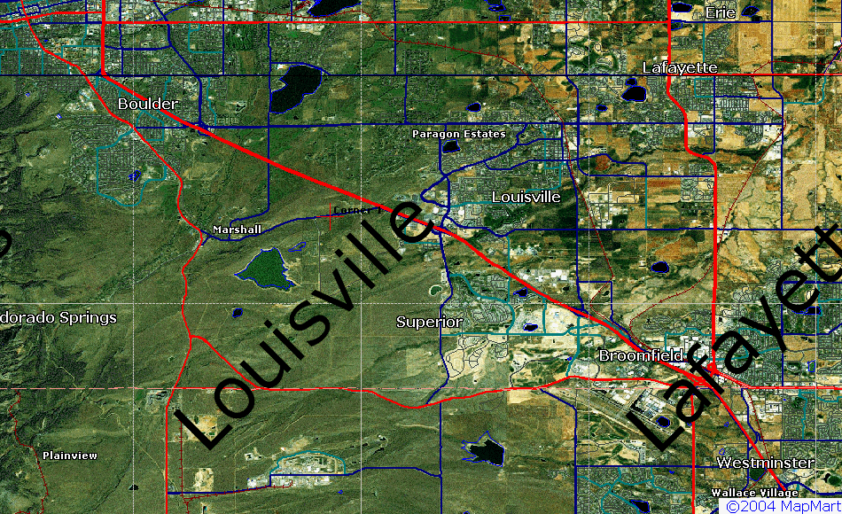
The NCAR S-Pol radar was located at the NCAR Marshall Field Site in Boulder County, Colorado. The site is about x km SE of the NCAR Mesa Laboratory. The coordinates for S-Pol are provided. All coordinates are from GPS. Locations of several hard targest are also provided.
Site       Coords(WGS84,ddd:mm.mmm)   Elev  Coords,dd:mm:ss.s          Coords,dd.ddddd
Name:      Lat         Lon             (m)  Lat         Lon            Lat       Lon
-------    ----------  ------------   ----  ----------  ------------   --------  ----------
S-Pol      39:57.0154  -105:11.7071   1742  39:57:00.9  -105:11:42.4   39.95026  -105.19512
Elevation is adjusted to be elevation to center of dish.
[See note on GPS position verification].
The following map images are available showing S-Pol location:
Name:           Coords(WGS84,map/GPS)     Elev  Twr hgt   S-Pol   coords  Comments:
                Lat         Long           (m)  (est, m)  Az     Rng(km)
------------    ----------  -----------   ----  -------   ------ -------  -------------------------------------------
S-Pol           39:57:00.9  105:11:42.4   1742              n/a    n/a    Multi-week integration of tx van GPS
NOAA-K		40:05:56    105:02:06	  1503		   39.63  21.429
Denver NEXRAD   39:47:13    104:32:44     1709            108.07  58.460  Info from Denver NWS, originally from OSF
CSU/CHILL       40:26:46.5  104:38:13.5   1432             40.79  72.741  From CSU/CHILL web site
Fredrick Twr    40:05:46    104:54:05     1540     300     57.14  29.851  From Rilling work, WISP94
BAO             40:03:00    105:00:14     1581     300     55.85  19.732  From work of Pratte

Notes:

1) Target range/azimuth were determined by use of rectangular
coordinates (earth curvature was ignored).  However, care was taken to
adjust the coordinate system for variation in the length of both a
degree of latitude and a degree of longitude over the limited distance
to the target.  The technique used has an estimated error of about 10m
in absolute target positioning (over about a 50km range).

2) WGS-84 datum were used for all position determinations.