

Regional Hydroclimate Project:
-
CPPA (Climate Prediction Program for the Americas; formerly GAPP)
-
Bondville
-
Bondville
-
None
-
Name:Tilden Meyers
Affiliation:
-
NOAA/ATDD
-
456 S. Illinois Ave.
Oak Ridge, TN 37830
Telephone: (865) 576-1245
Fax: (865) 576-1327
-
Latitude: 40.00621 N
Longitude: 88.29041 W
Elevation: 216 m
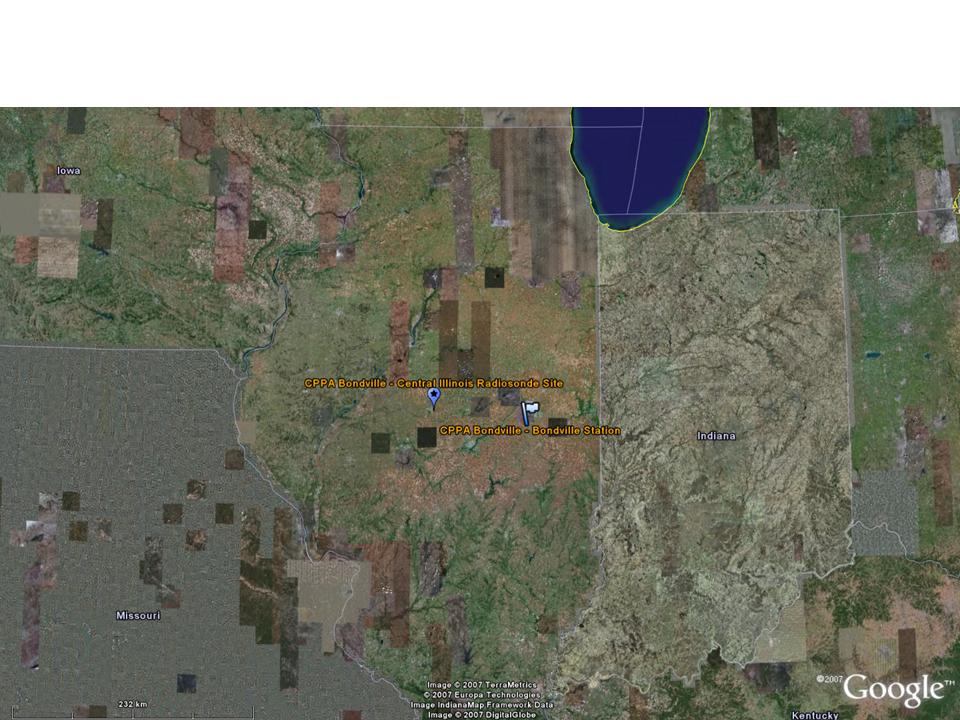
Bondville Regional Map (click for full resolution):
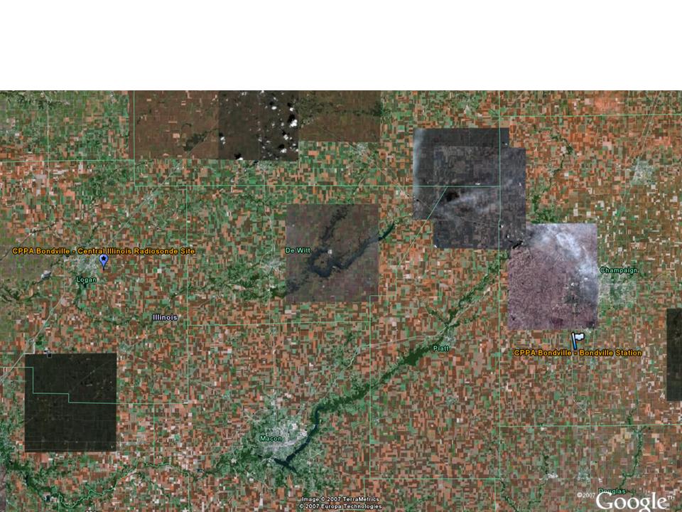
Bondville Area Map (click for full resolution):
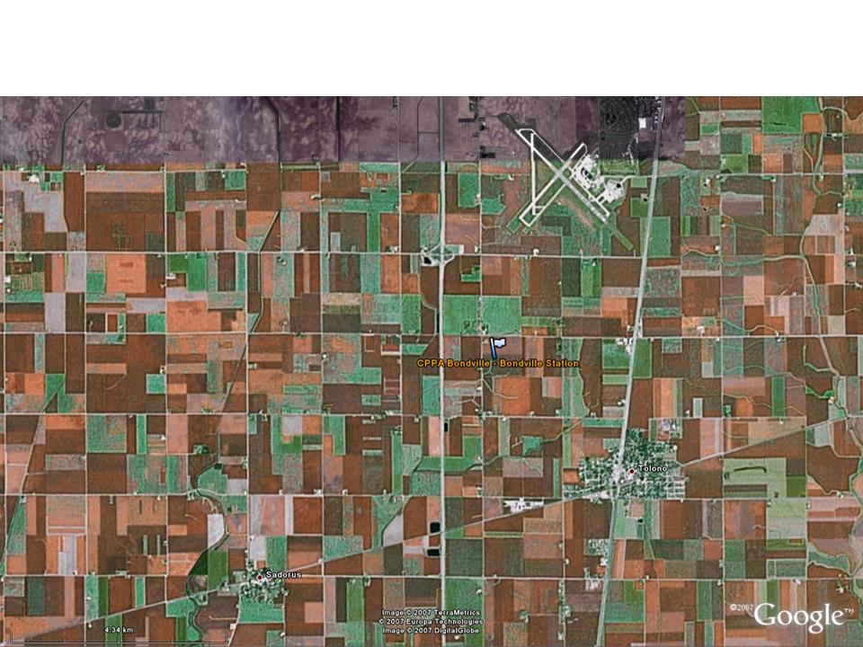
Bondville Local Map (click for full resolution):
Google Earth .kmz file of CPPA Bondville Reference Site station and radiosonde locations
Station Description:
-
General Description:
The Bondville reference site is located near Champaign, IL on Reifsteck Farm.
Station Operator:
NOAA/ATDD
Vegetation and Land Use:
The vegetation alternates between corn and soybeans crops.
Dominanat land cover at the measurement location:
-
crop/ corn soybean no-till rotation
year 2000 soybean
year 2001 corn
year 2002 soybean
year 2003 corn
year 2004 soybean
year 2005 corn
After corn harvest, about 1 kg plant residue per square meter remains
Canopy height: bean: 0.7 - 1 m, corn: 2.6 - 3 m
Land cover (approximate percentages of each type) within 50 m of the measurement location: corn or soybean depending on year, see above
Land cover (approximate percentages of each type) within 500 m of the measurement location (1 km pixel): 50% corn 50% soybean
Land cover (approximate percentages of each type) within 12 km of the measurement location (1/4 degree pixel): 35% corn 35% soybean 20% grass 10% urban
Seasonal land cover changes:
-
Seasonal LAI max of 5, for soybean LAI max occurs end of July, for corn LAI max occurs early July
Major changes in land cover at the site from October 2002 to December 2004: Rotating crops (see above).
Slope at the site: little slope, less than 1%.
Mean elevation and range of elevations in 1 km pixel: 216 m range from 200-230 m.
Soil Type and Characterization:
Surface Soil Type: silt loam
Deeper Layers Soil Type: similar texture class
Surface Soil porosity: depth 00-05 cm porosity 45%
Deeper Layers Soil Porosity:
-
08-13 cm 43%
13-18 cm 37%
18-23 cm 37%
23-28 cm 41%
30-36 cm 39%
38-43 cm 39%
46-51 cm 37%
53-58 cm 37%
64-69 cm 37%
Soil infiltration rate: 30 mm/hour
Bulk dry density: 1.45 g/cm^3
Saturated hydraulic conductivity: .0002 cm/s
Soil Reference Group(s) (from World Reference Base for Soil Resources): CHERNOZEMS (CH)
Climate:
Bondville, IL climate is warm during summer when temperatures tend to be in the 70's F and very cold during winter when temperatures tend to be in the 20's F.
The warmest month of the year is July with an average maximum temperature of 85.20 degrees Fahrenheit, while the coldest month of the year is January with an average minimum temperature of 16.20 degrees Fahrenheit.
Temperature variations between night and day tend to be moderate during summer with a difference that can reach 21 degrees Fahrenheit, and fairly limited during winter with an average difference of 16 degrees Fahrenheit.
The annual average precipitation at Bondville is 41.06 Inches. Rainfall in is fairly evenly distributed throughout the year. The wettest month of the year is May with an average rainfall of 4.80 Inches.
-
SURFACE METEOROLOGY AND RADIATION INSTRUMENTATION AND DESCRIPTION:
- Station pressure height unspecified; Vaisala PTB101B
- Air Temperature height unspecified; Thermometrics PRT
- Dew point height unspecified; derived
- Relative humidity height unspecified; Vaisala 50Y
- Specific humidity height unspecified; derived
- Wind speed height unspecified; RM Young 05103
- Wind direction height unspecified; RM Young 05103
- U wind component height unspecified; derived
- V wind component height unspecified; derived
- Precipitation height unspecified; Hydrol. Serv. TB3
- Snow depth Not measured.
- Incoming shortwave radiation height unspecified; Kipp&Zonen CNR1- CM3
- Outgoing shortwave radiation height unspecified; Kipp&Zonen CNR1- CM3
- Incoming longwave radiation height unspecified; Kipp&Zonen CNR1- CG3
- Outgoing longwave radiation height unspecified; Kipp&Zonen CNR1- CG3
- Net radiation height unspecified; Kipp&Zonen CNR1
- Skin temperature height unspecified; Apogee IRTS-P
- Incoming Photosynthetically Active Radiation (PAR) height and instrumentation unspecified
- Outgoing Photosynthetically Active Radiation (PAR) height and instrumentation unspecified
- Sensible Heat Flux (10 m; Sonic - RM Young 81000V (Gill R2 until 7/02)
- Latent Heat Flux (10 m; Sonic - RM Young 81000V (Gill R2 until 7/02)
- CO2 Flux (
- Soil Heat Flux (4 cm depth - Hukseflux HFP01SC; ATDD thermopiles-2
- Soil temperature (2, 4, 8, 16, 32, 64, 128 cm depths; ATDD Probe with YSI Thermistors)
- Soil moisture (10, 20, 30, 40, 60, and 100 cm depths ; Delta-T PR1/6 (Delta-T Thetaprobes until 7/02)
METEOROLOGICAL TOWER INSTRUMENTATION AND DESCRIPTION:
-
No data of this type.
FLUX INSTRUMENTATION AND DESCRIPTION:
SOIL INSTRUMENTATION AND DESCRIPTION:
RADIOSONDE INSTRUMENTATION AND DESCRIPTION:
-
Radiosonde data are from the US National Weather Service station near Lincoln, IL.
-
Web:
Literature:
- CPPA (13 March 2007; Washington , DC, USA)
- GAPP (10 March 2004; Irvine, Calif ornia, USA)
- GAPP (31 March 2003; Berlin, Germany)
- GAPP (6 March 2002; Tokyo, Japan)
- EOP-3/4 and beyond Data Sets and Documentation
- Surface Meteorological Data: Current Status and Browse Plots
- Soil Temperature and Moisture Data: Current Status and Browse Plots
- Flux Data: Current Status and Browse Plots
- Meteorological Tower Data: Current Status and Browse Plots
- EOP-1 Converted Format Data Sets and Documentation
- EOP-1 Native Format Data Sets and Documentation