
Images generated courtesy of
| University of Colorado Center for the Study of Earth from Space (CSES)/CIRES |
||
|---|---|---|
|
Alex Goetz CSES Director goetz@cses |
Leanne Lestak GIS Project Manager lestak@cses.colorado.edu |
Dave Hulslander Project Technician deh@cses.colorado.edu |
Credits:
The cities were obtained from Patricia A. Berger at Oregan State
University Biosystems Analysis Group in Bioresource Engineering
(
bergerp@alecto.bre.orst.edu).
The road network and railways are from the 1:1,000,000 scale Digital Chart
of the World (DCW) which was mapped by the Defense Mapping Agency. ESRI
(Environmental Systems Research Institute) digitized the DCW and converted
it into ARC/INFO format.
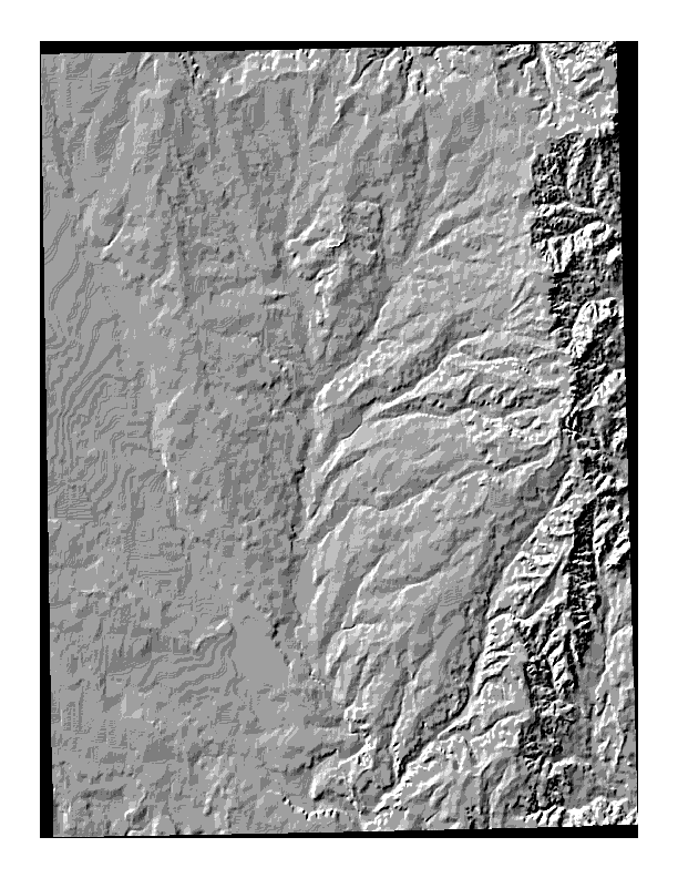
The USGS 1:250,000 DEM data has some inherent problems. When the data is
scanned, stripes or terraced features are created. A low-pass filter was
used to smooth these features. The filter creates a more realistic model.
The filtered DEM was used to create the aspect map and one of the hillshaded
graphics.
The maps are not final. They need scalebars. Some have a UTM grid overlaid
such as the slope and aspect maps. The shaded relief maps don't have grids
or north arrows at this point: north is in the upwards direction.
All watershed boundaries, the drainage network and the 1:250,000 DEM
(Digital Elevation Model) data (which was originally created by the USGS)
was downloaded from the State of Kansas Geographic Information Systems
Initiative's Data Access
and Support Center (DASC).
 |
|||
| GIF file | PS file | Map Description | |
|---|---|---|---|
| CASES related maps: | |||
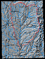 |
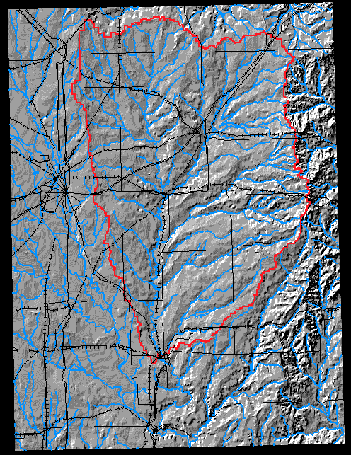
cases.gif | cases.ps.gz | Shaded relief location map of study area with overlay of rivers in blue, watershed boundary in red and roads and rails in black. |
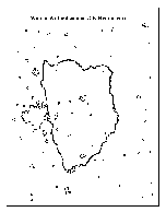 |
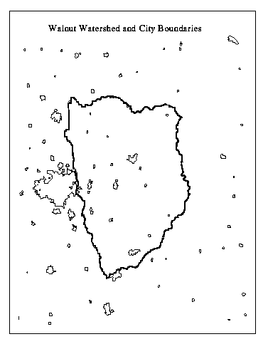
cities.gif | cities.ps.gz | B/W map of the cites and watershed boundary. |
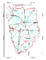 |
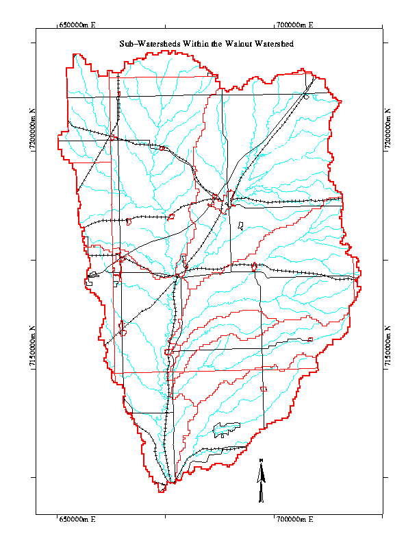
watershed.gif | watershed.ps.gz | Walnut watershed and sub-watersheds in red, rivers in blue and roads and rails in black. |
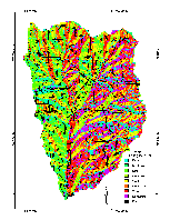 |
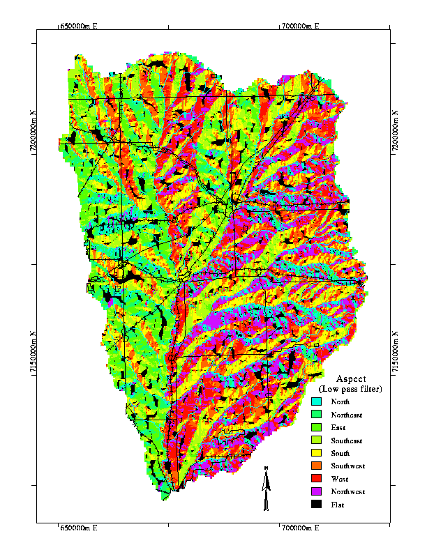
aspect.gif | aspect.ps.gz | Aspect relief using low-pass filter on DEM. |
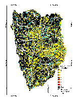 |
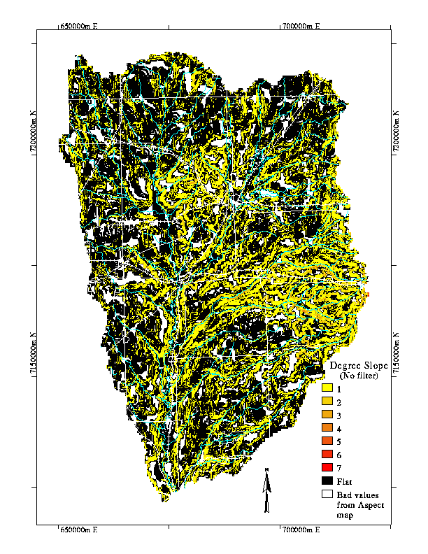
slope.gif | slope.ps.gz | Degree slope generated from non-filtered DEM. |
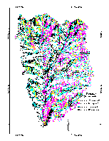 |
fre4.gif | fre4.ps.gz | Four highest frequency distributions of slope vs. aspect. |
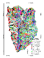 |
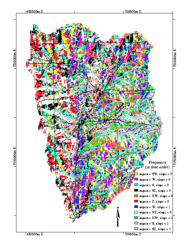
freq11.gif | freq11.ps.gz | Eleven highest frequency distributions of slope vs. aspect. |
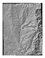 |
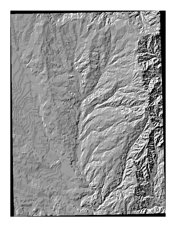
hillshd.gif | hillshd.ps.gz | Non-filtered shaded relief from DEM. |
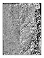 |
flthillshd.gif | flthillshd.ps.gz | Low-pass filtered shaded relief from DEM. |
