Click on the thumbnail image to view the full-size image.
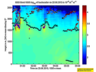
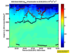
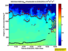
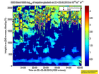
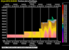
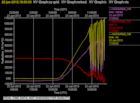
201306220000.Density
|
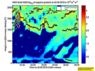
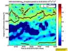
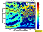
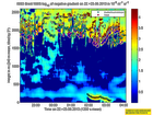
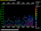
201306220000.Gradient
|
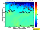
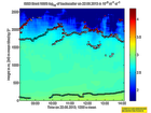
201306220200.Density
|
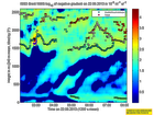
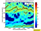
201306220200.Gradient
|
201306220400.Density
|
201306220400.Gradient

|
201306220600.Density

|
201306220600.Gradient
|
201306220800.Density
|
201306220800.Gradient
|
201306221000.Density
|
201306221000.Gradient

|
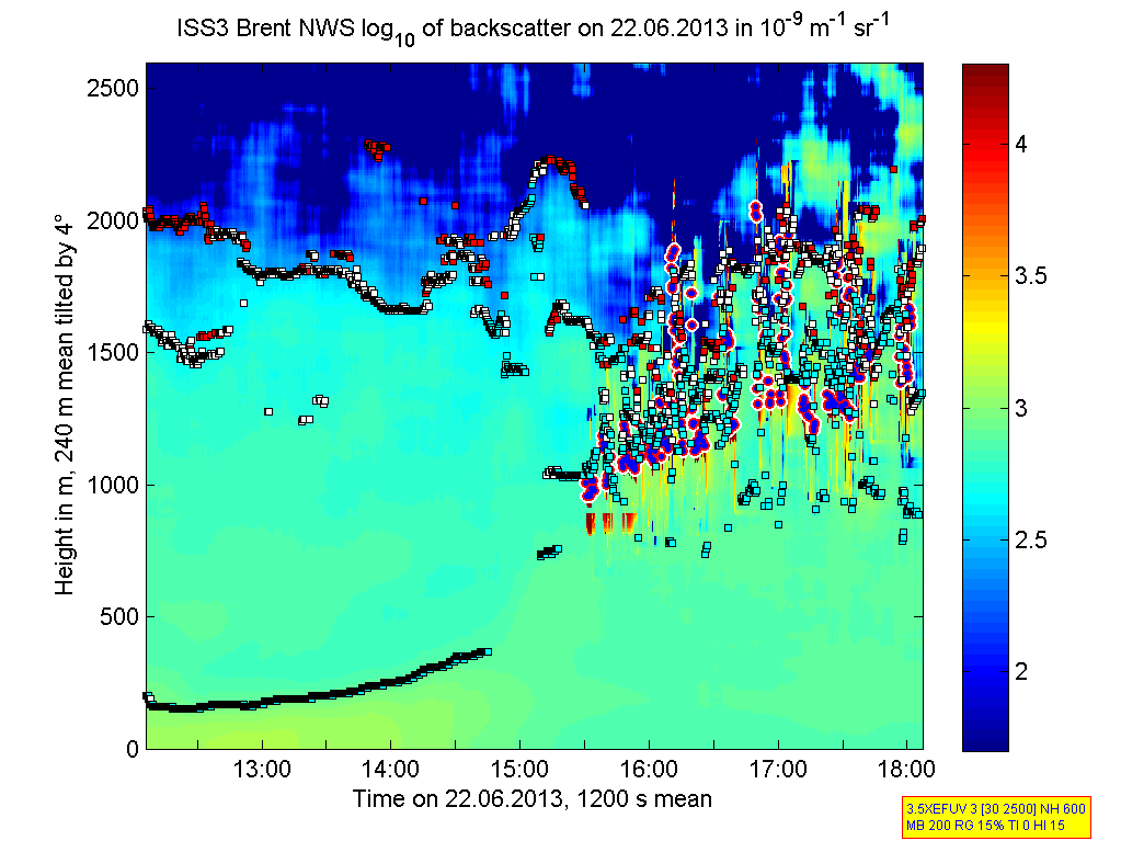
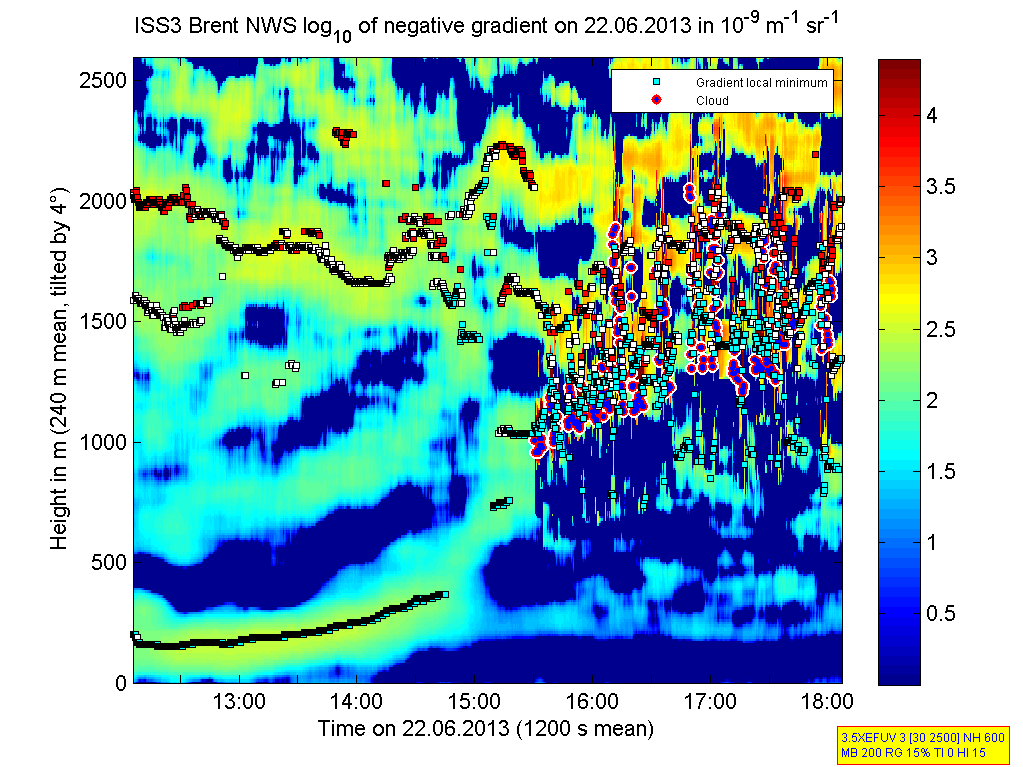
201306221200.Density

|
201306221200.Gradient
|
201306221400.Density
|
201306221400.Gradient
|
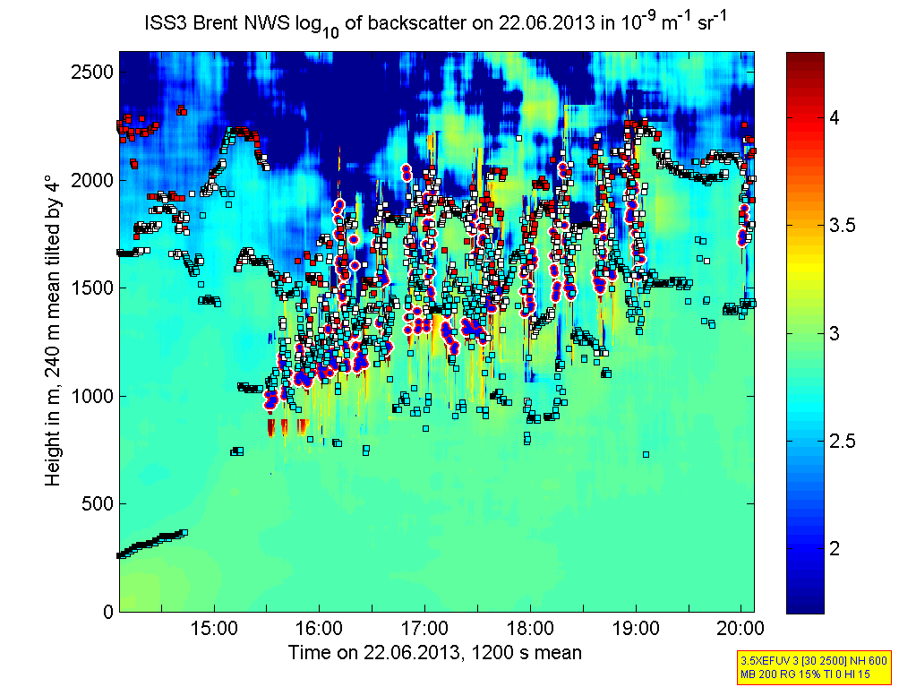
201306221600.Density
|
201306221600.Gradient
|
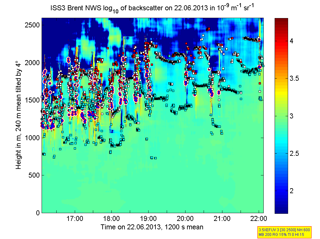
201306221800.Density
|
201306221800.Gradient

|
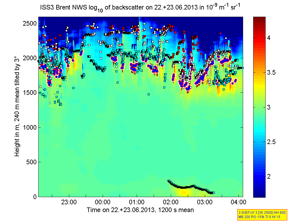
201306222000.Density
|
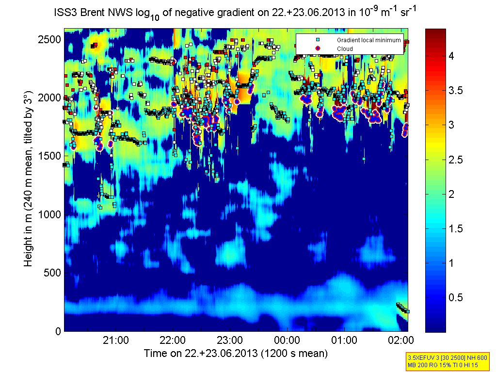
201306222000.Gradient
|
201306222200.Density
|
201306222200.Gradient
|
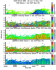
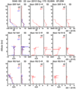
201306220000.Moments
|
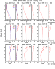
201306220000.NIMA_Consensus_Dia...

|
201306220000.NIMA_Consensus_Mom...
|
201306220000.NIMA_Consensus_RASS
|
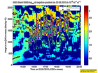
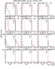
201306220000.NIMA_Diagnostic
|
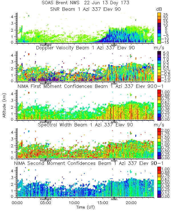
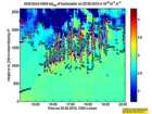
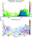
201306220000.NIMA_Moments
|
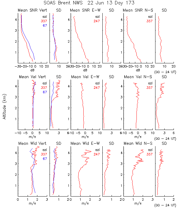
201306220000.Profiles
|
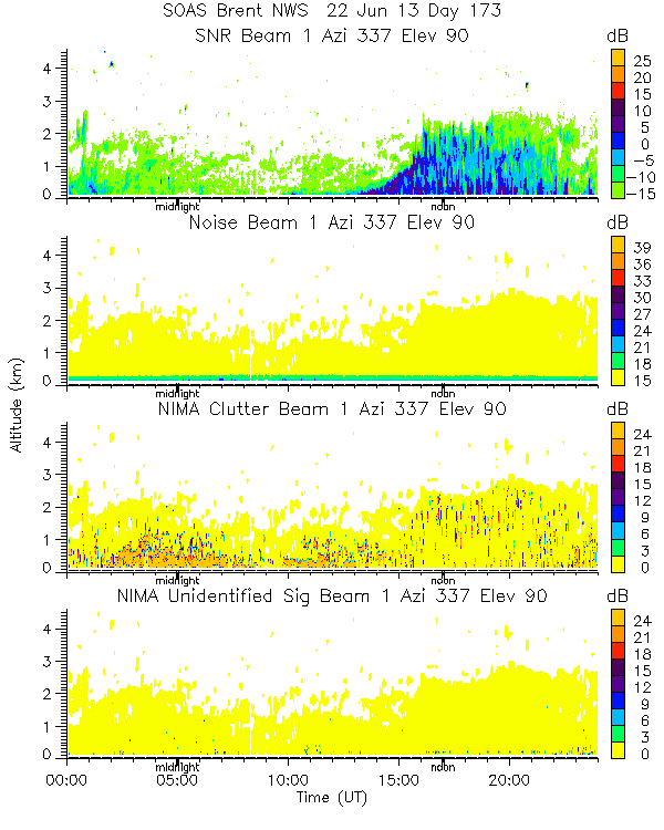
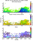
201306220000.SNR_Winds
|
201306220600.RASS
|
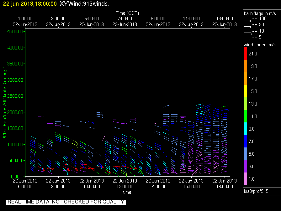
201306220600.Wind_Profile_Low
|
201306221800.RASS
|
201306221800.Wind_Profile_Low
|
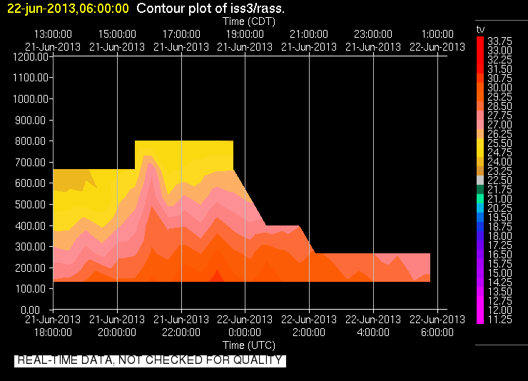
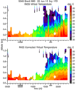
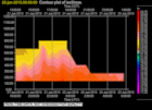
201306220000.RASS_Temperatures

|
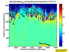
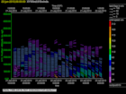
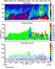
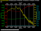
201306220000.Wind_Reflectivity
|
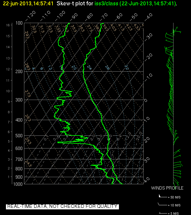
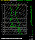
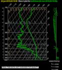
201306221457.SkewT
|
201306222213.SkewT
|
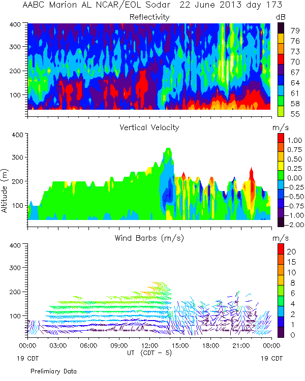
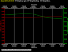
201306220600.Diagnostics
|
201306220600.Surface_Met

|
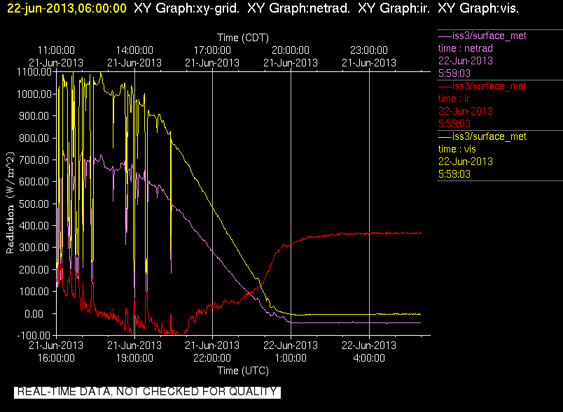
201306220600.Surface_Rad

|
201306220600.Surface_Wind

|
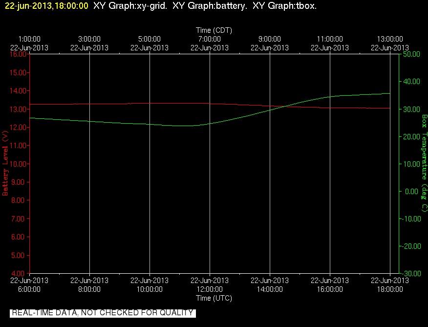
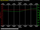
201306221800.Diagnostics
|
201306221800.Surface_Met
|
201306221800.Surface_Rad
|
201306221800.Surface_Wind

|
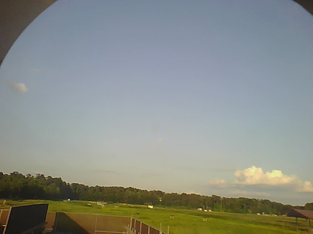
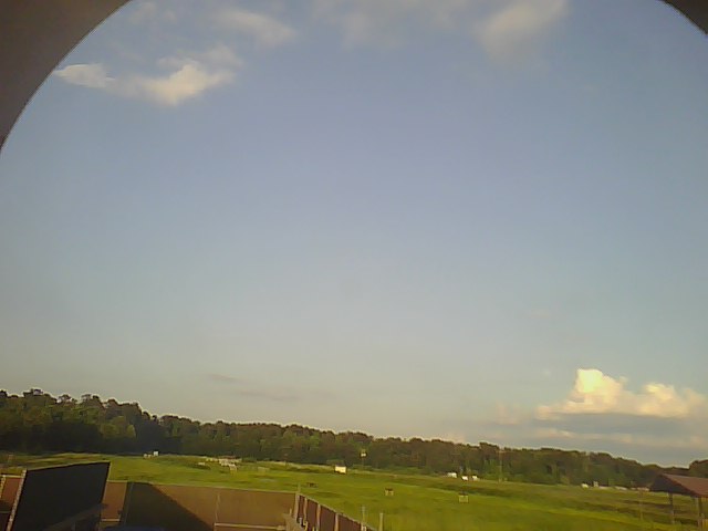
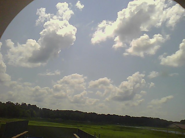
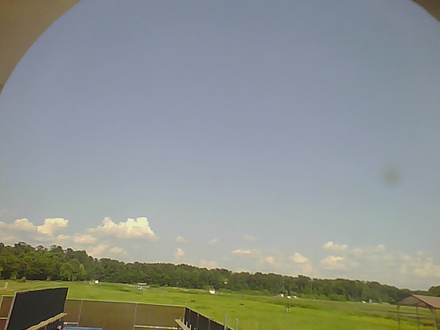
201306220000.Photo

|
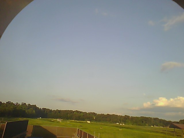
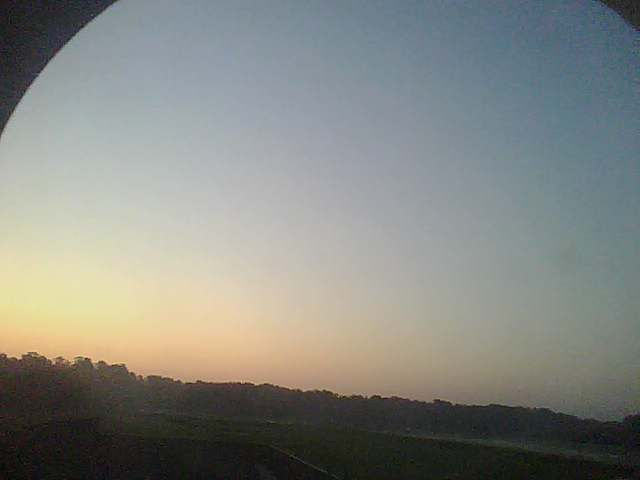
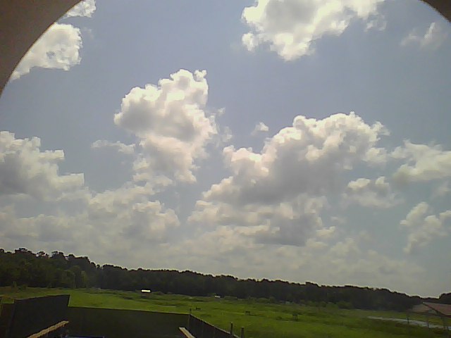
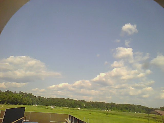
201306220005.Photo
|
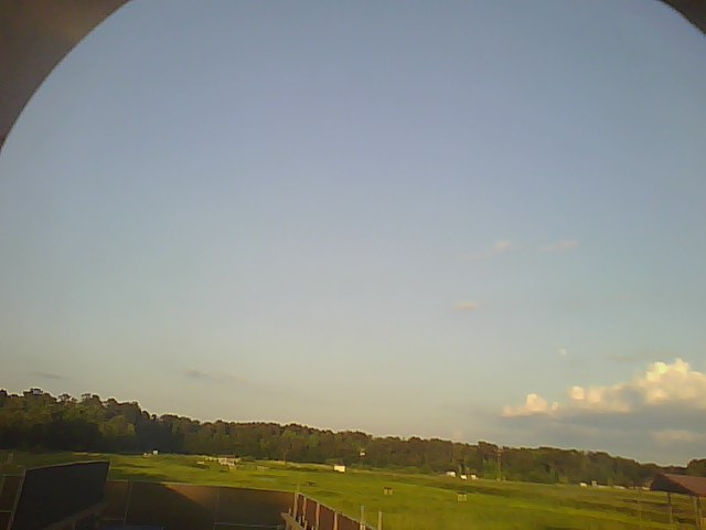
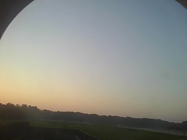
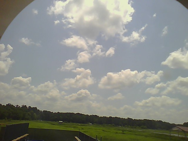
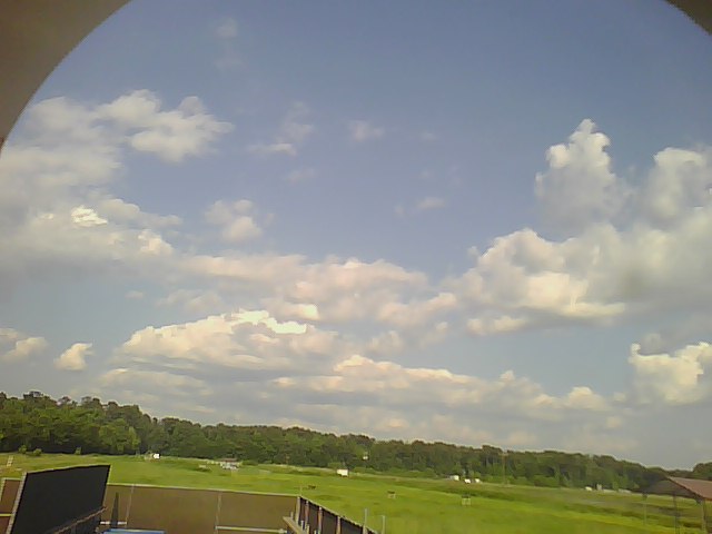
201306220010.Photo
|
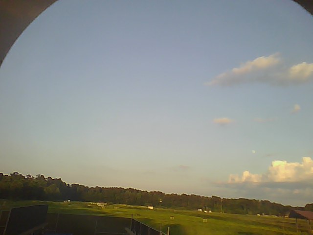
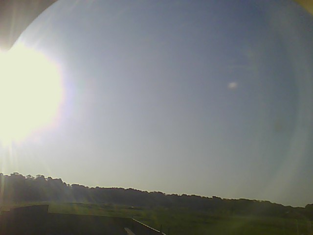
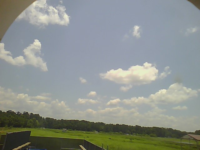
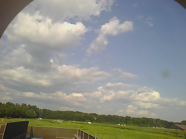
201306220015.Photo
|
201306220020.Photo

|
201306220025.Photo
|
201306220030.Photo

|
201306220035.Photo
|
201306220040.Photo
|
201306220045.Photo
|
201306220050.Photo
|
201306220200.Photo
|
201306220220.Photo

|
201306220250.Photo

|
201306221000.Photo

|
201306221020.Photo
|
201306221050.Photo
|
201306221200.Photo
|
201306221220.Photo

|
201306221250.Photo
|
201306221400.Photo
|
201306221420.Photo
|
201306221450.Photo

|
201306221600.Photo

|
201306221620.Photo
|
201306221650.Photo
|
201306221800.Photo
|
201306221825.Photo
|
201306221855.Photo
|
201306222000.Photo
|
201306222025.Photo
|
201306222055.Photo
|
201306222200.Photo
|
201306222225.Photo

|
201306222255.Photo

|