Click on the thumbnail image to view the full-size image.
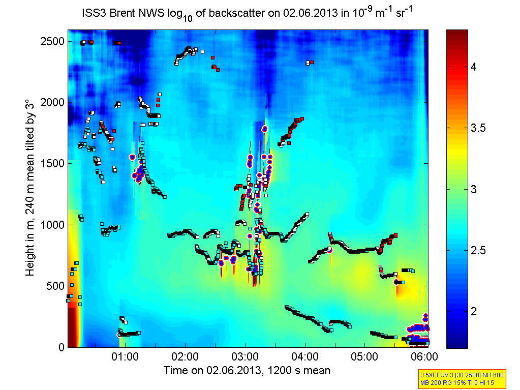
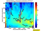
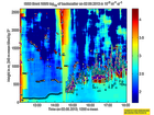
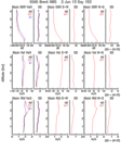
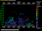
201306020000.Density
|
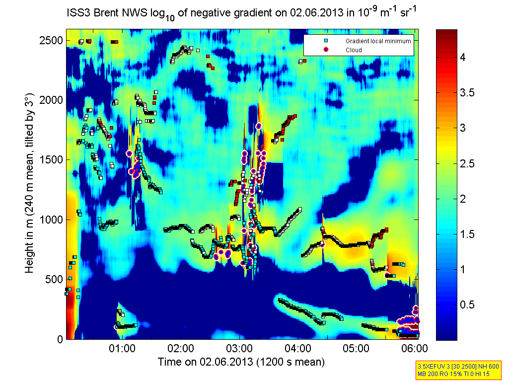
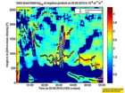
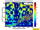
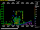
201306020000.Gradient
|
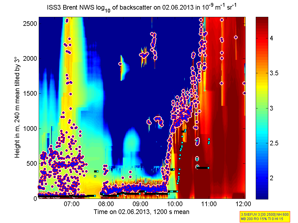
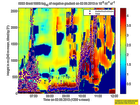
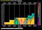
201306020600.Density

|
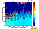
201306020600.Gradient
|
201306021200.Density
|
201306021200.Gradient
|
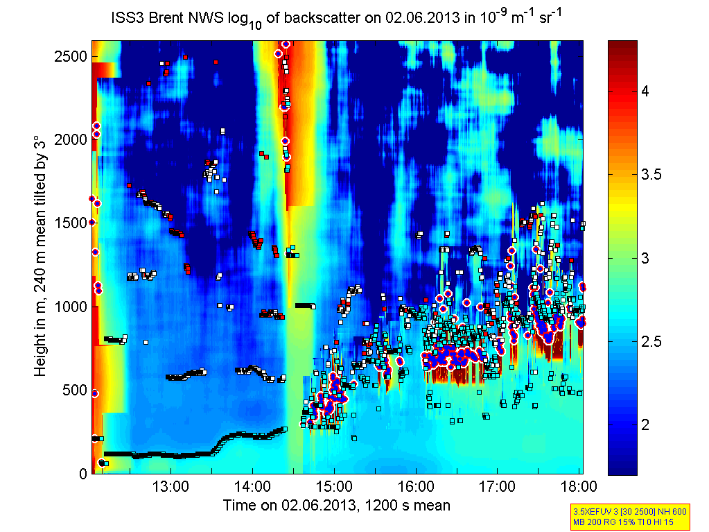
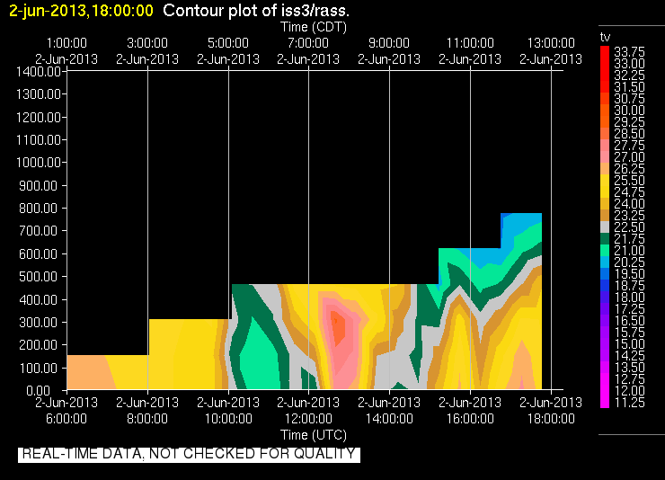
201306021800.Density
|
201306021800.Gradient

|
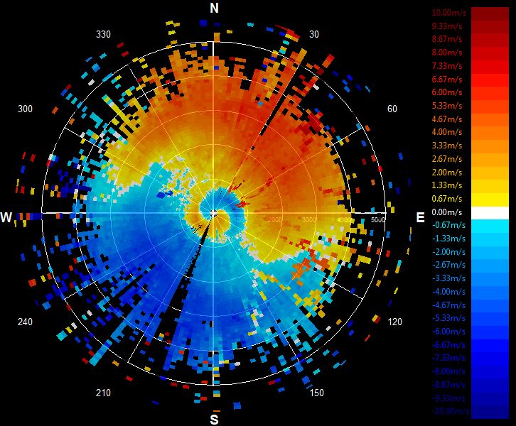
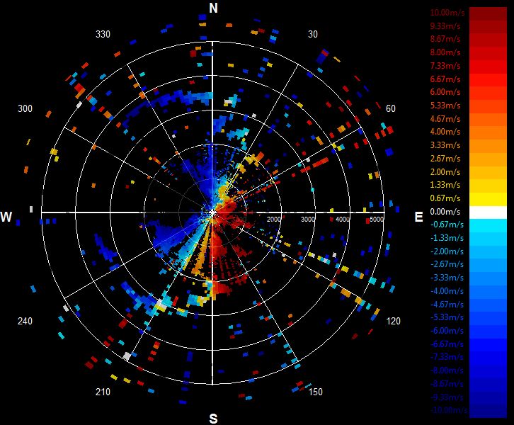
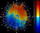
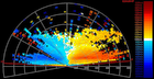
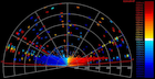
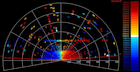
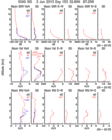
201306020004.PPI
|
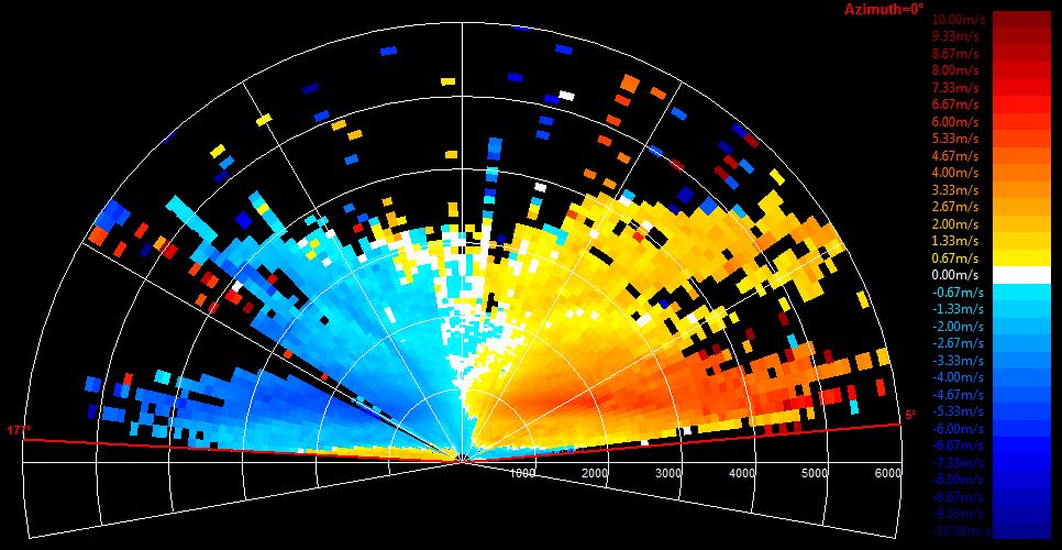
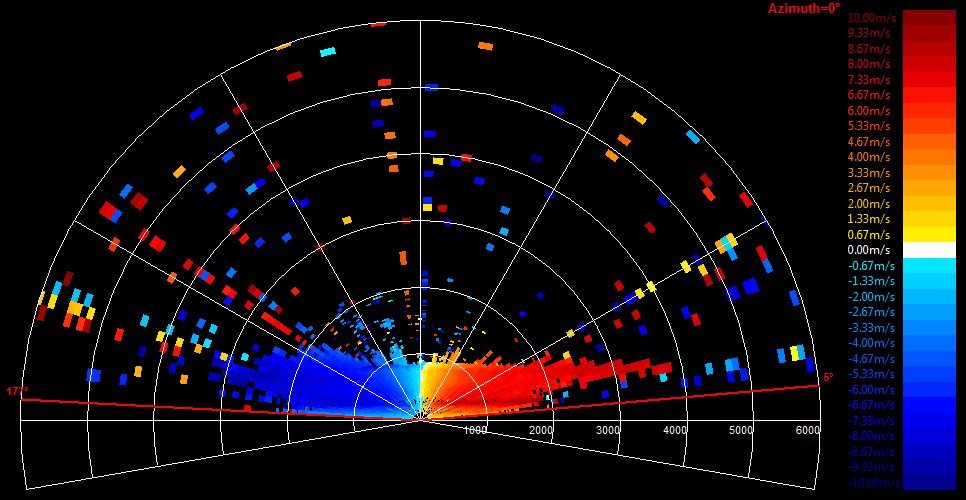
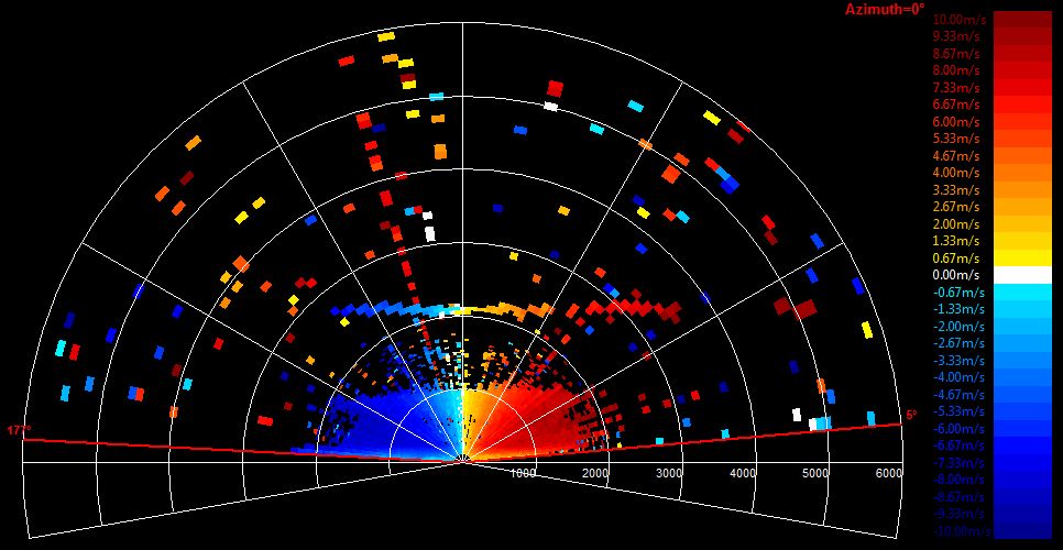
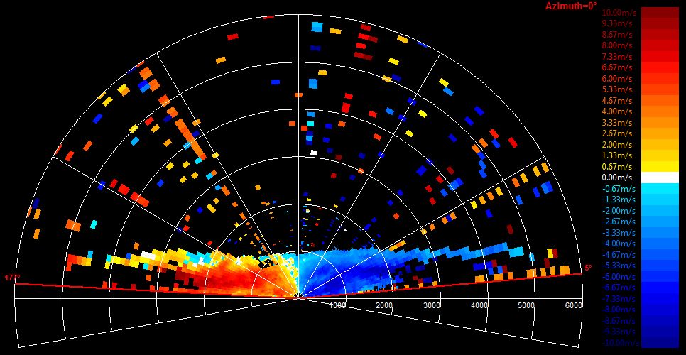
201306020007.RHI
|
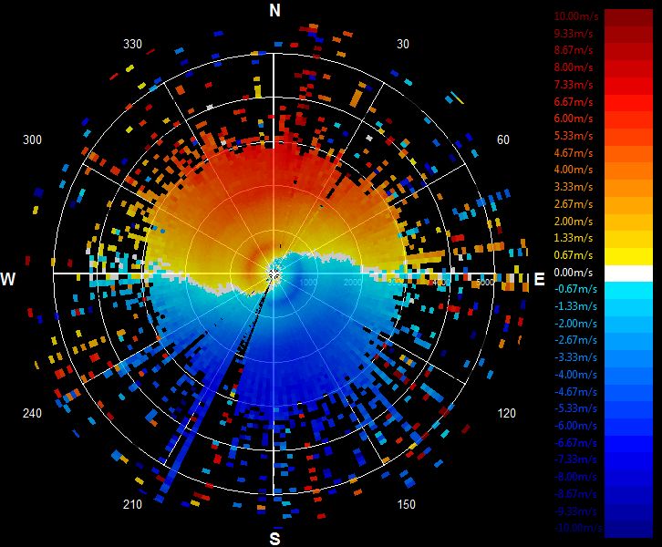
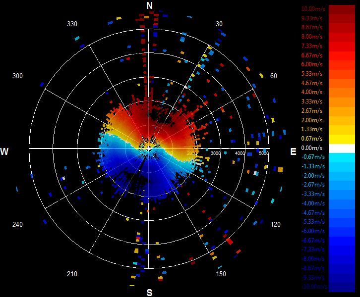
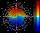
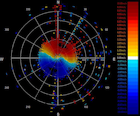
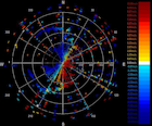
201306020207.PPI
|
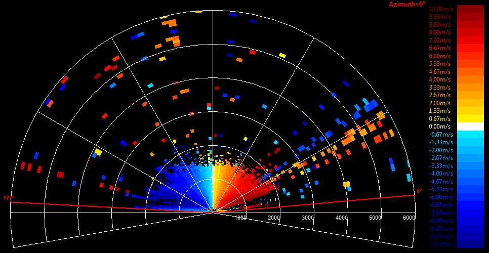
201306020210.RHI
|
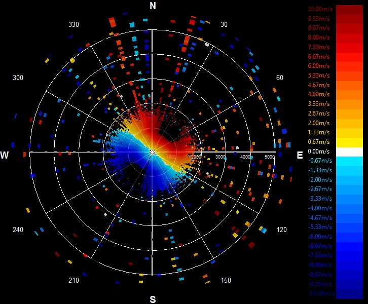
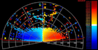
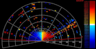
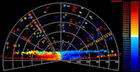
201306020405.PPI
|
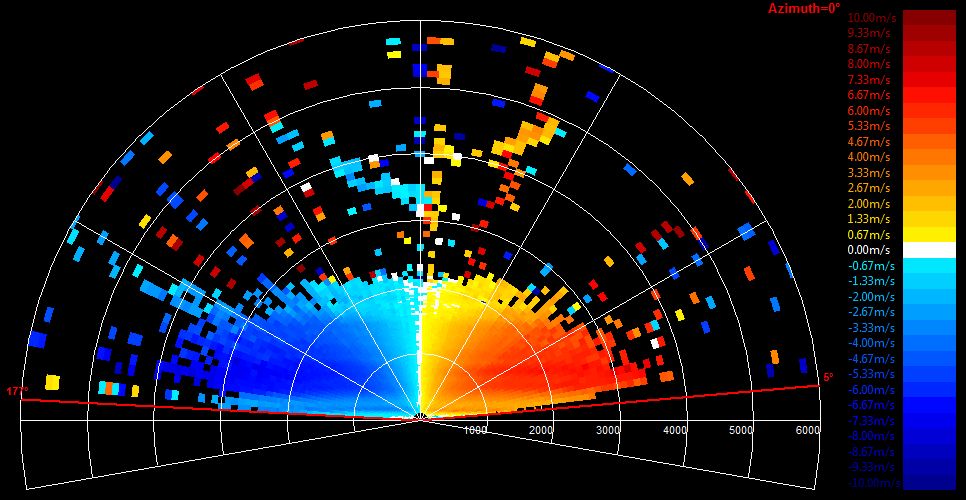
201306020408.RHI
|
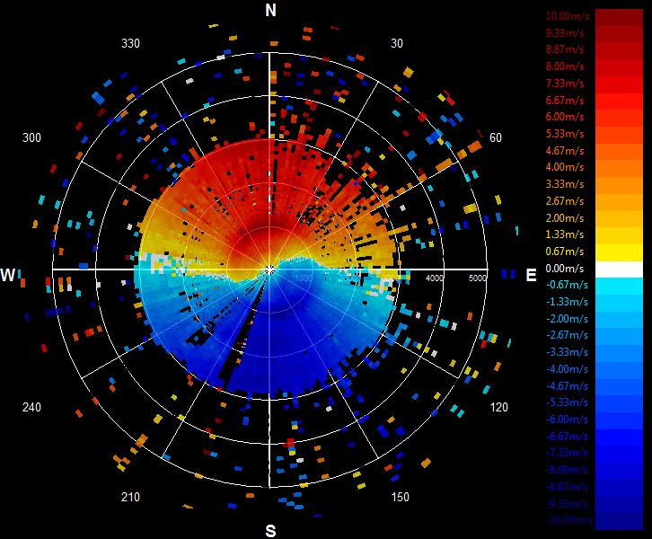
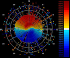
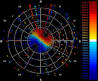
201306020608.PPI
|
201306020611.RHI
|
201306020810.PPI
|
201306020813.RHI
|
201306021002.PPI
|
201306021005.RHI
|
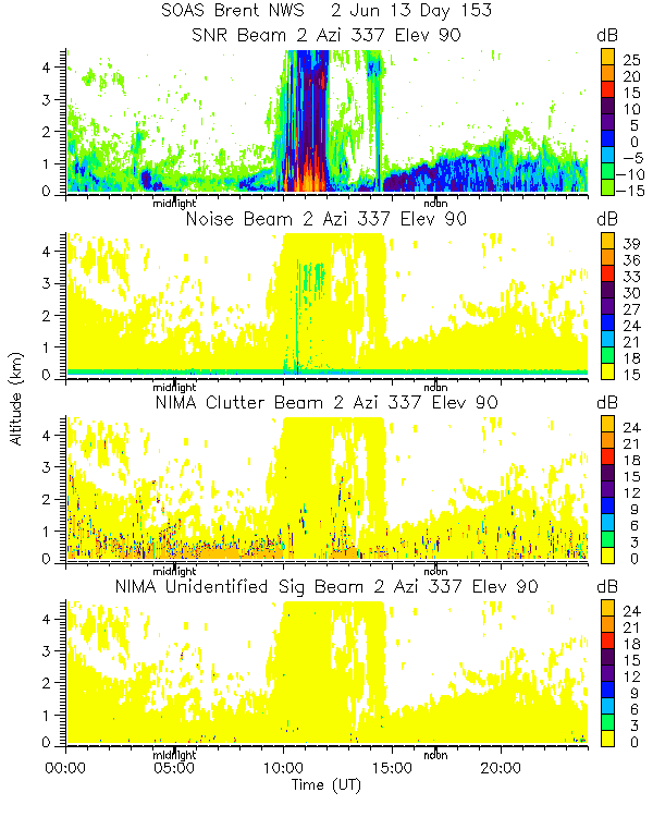
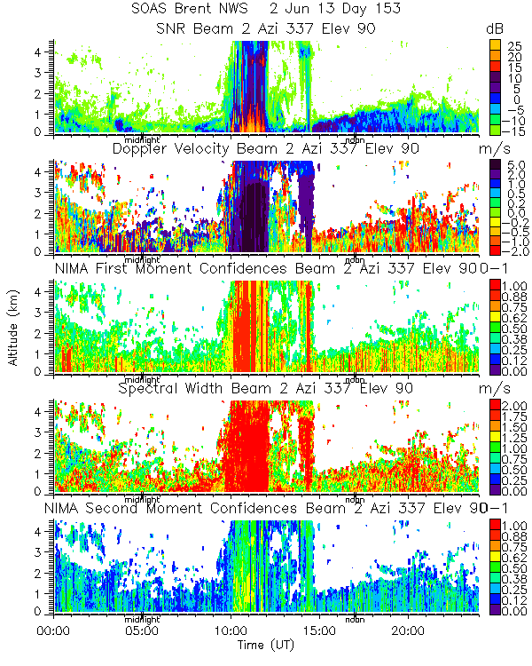
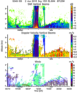
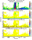
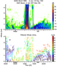
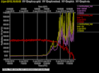
201306020000.Moments
|
201306020000.NIMA_Consensus_Dia...
|
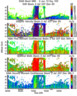
201306020000.NIMA_Consensus_Mom...
|
201306020000.NIMA_Consensus_RASS
|
201306020000.NIMA_Diagnostic
|
201306020000.NIMA_Moments
|
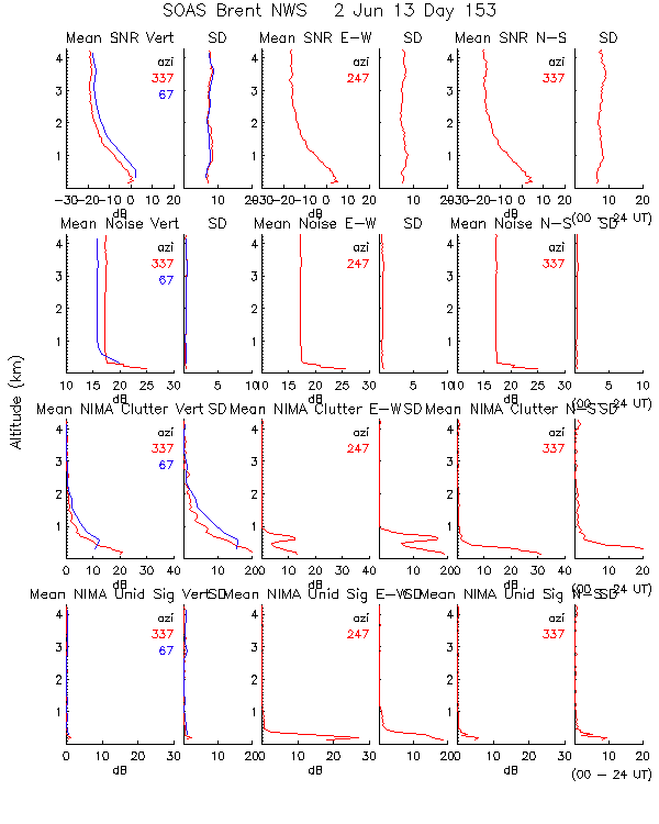
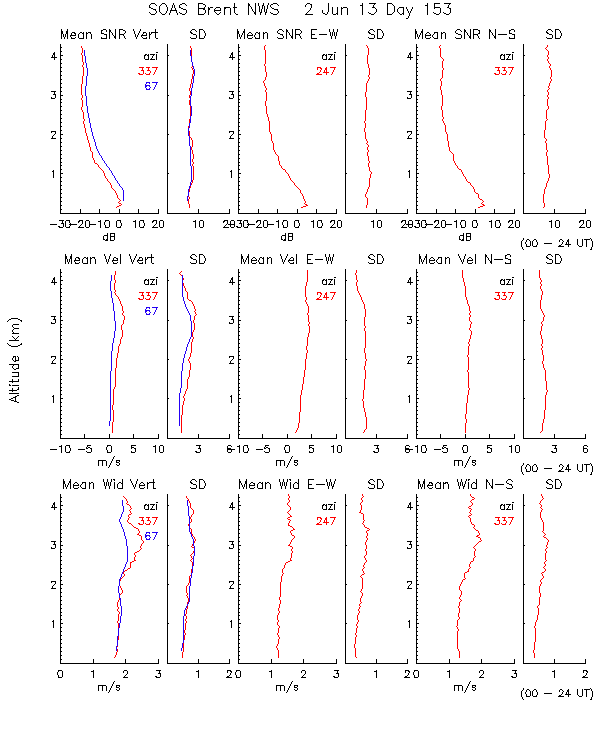
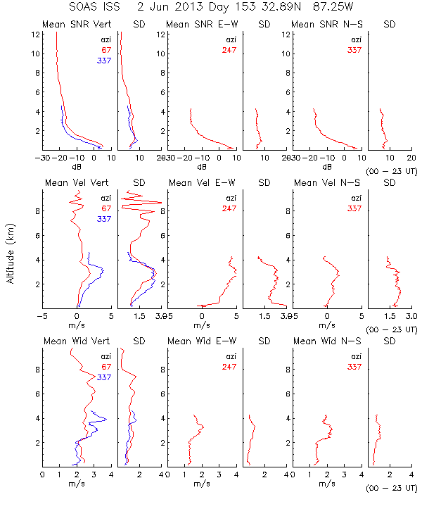
201306020000.Profiles
|
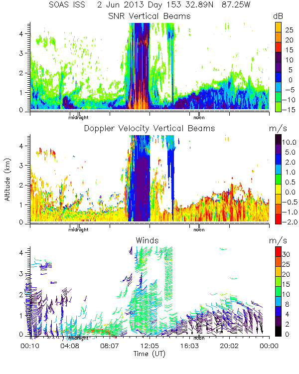
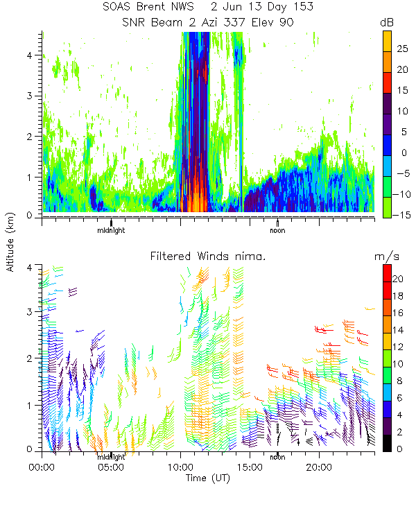
201306020000.SNR_Winds
|
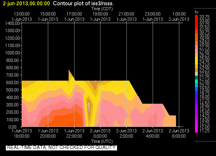
201306020600.RASS
|
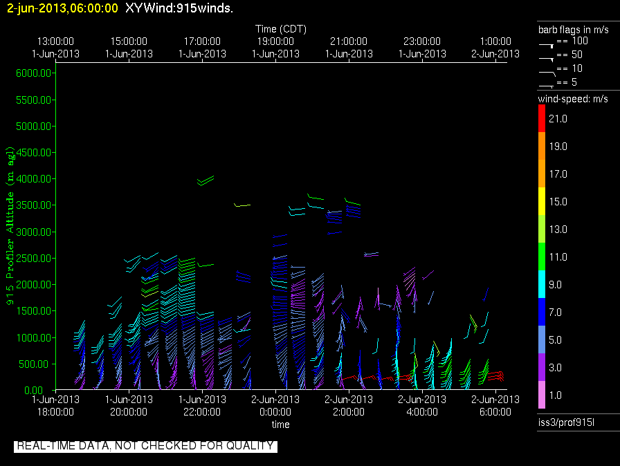
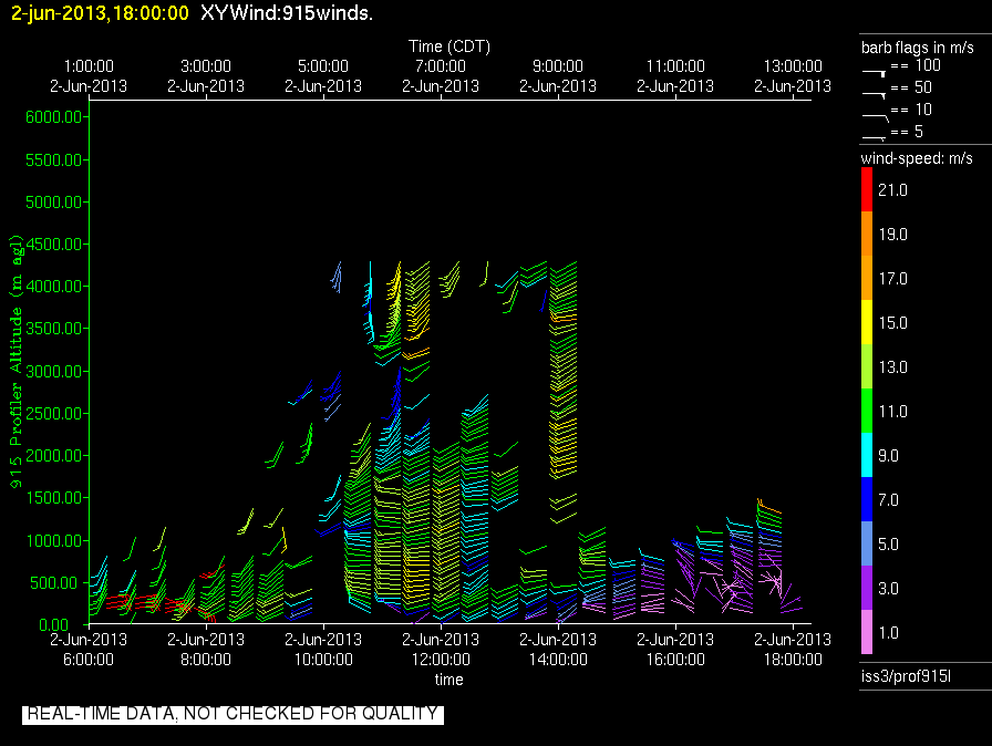
201306020600.Wind_Profile_Low
|
201306021800.RASS
|
201306021800.Wind_Profile_Low
|
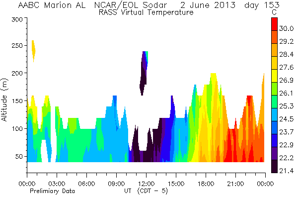
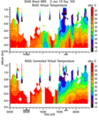
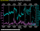
201306020000.RASS_Temperatures

|
201306020000.Wind_Reflectivity

|
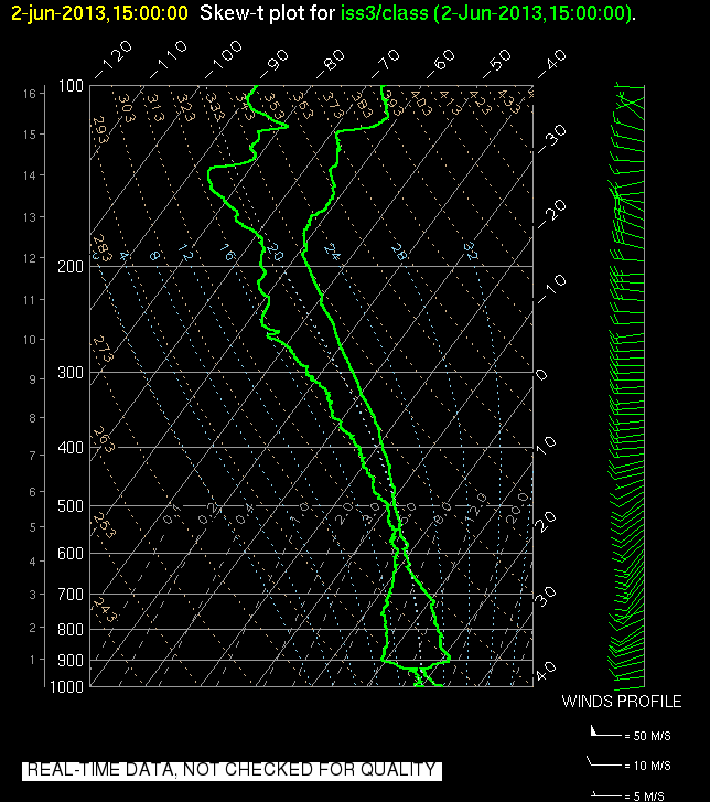
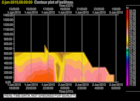
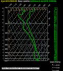
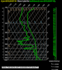
201306021500.SkewT
|
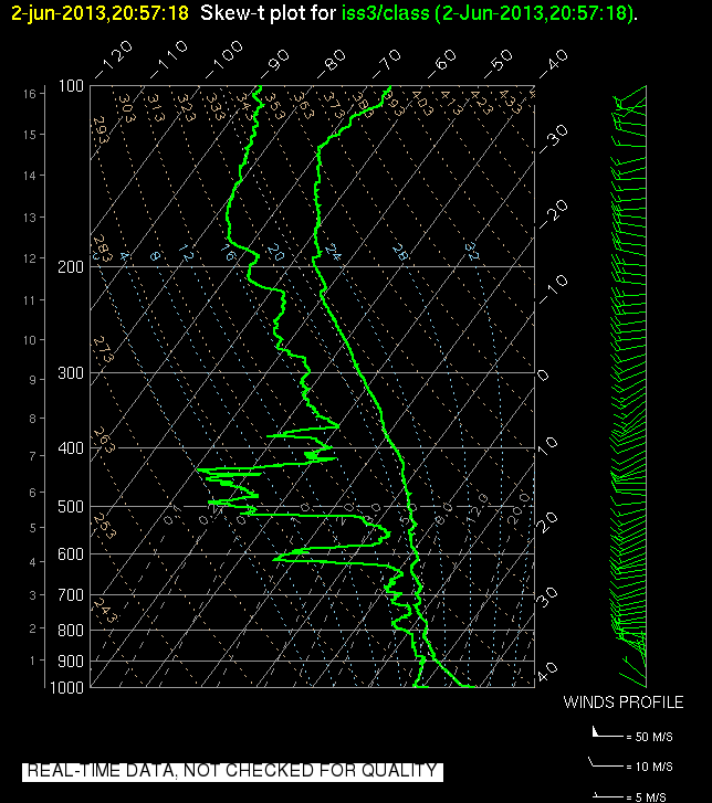
201306022057.SkewT
|
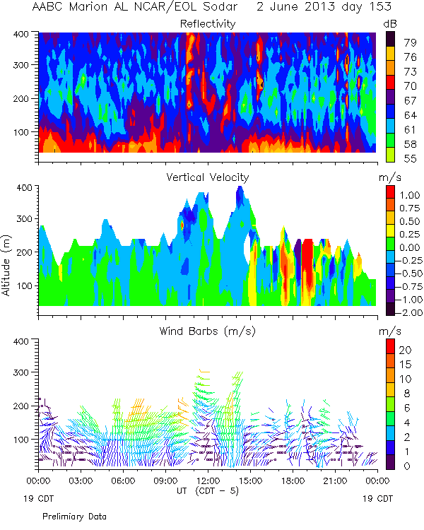
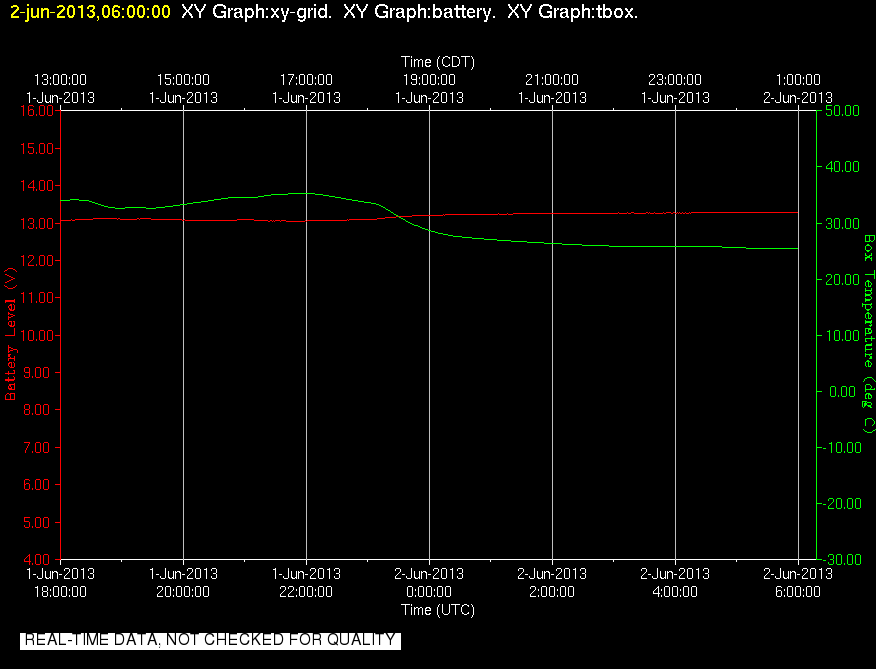
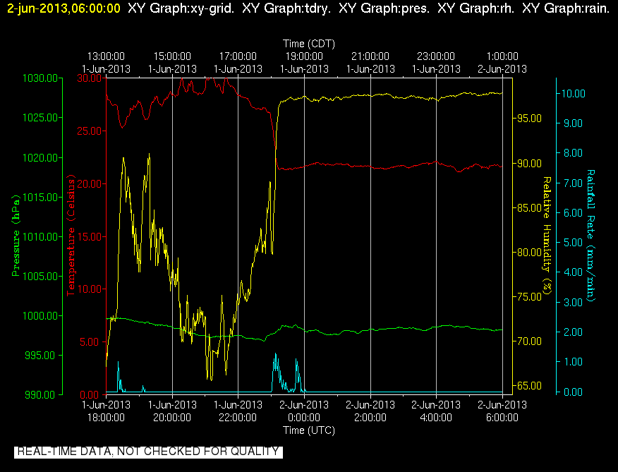
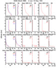
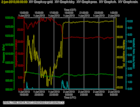
201306020600.Diagnostics

|
201306020600.Surface_Met
|
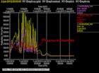
201306020600.Surface_Rad
|
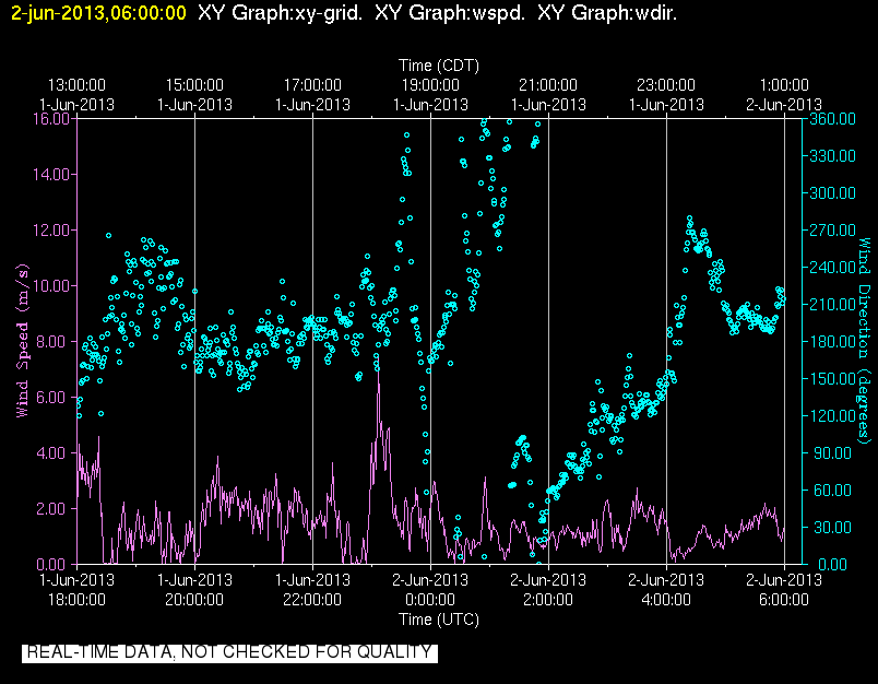
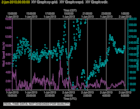
201306020600.Surface_Wind
|
201306021800.Diagnostics
|
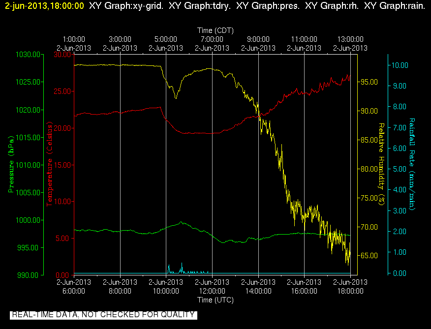
201306021800.Surface_Met

|
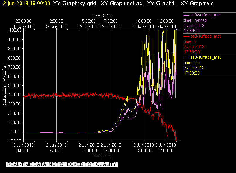
201306021800.Surface_Rad
|
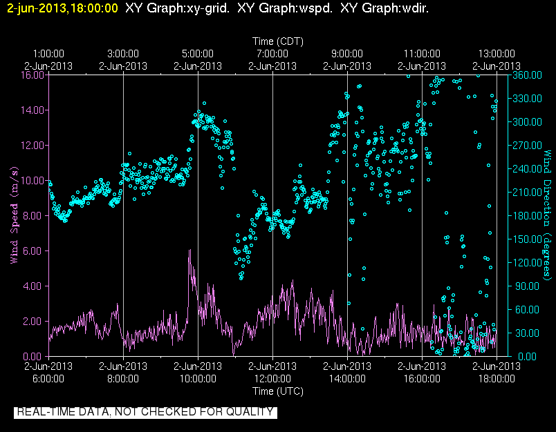
201306021800.Surface_Wind
|
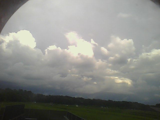
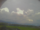
201306020000.Photo
|
201306020200.Photo
|