Click on the thumbnail image to view the full-size image.
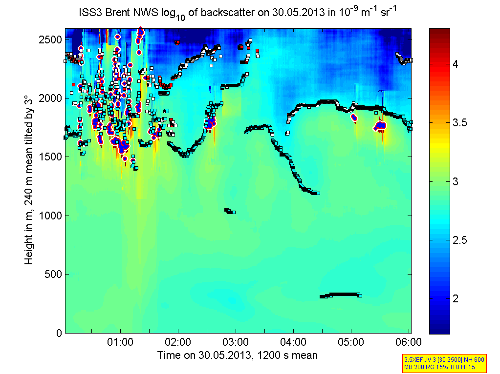
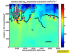
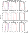
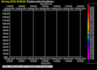
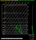
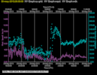
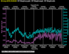
201305300000.Density
|
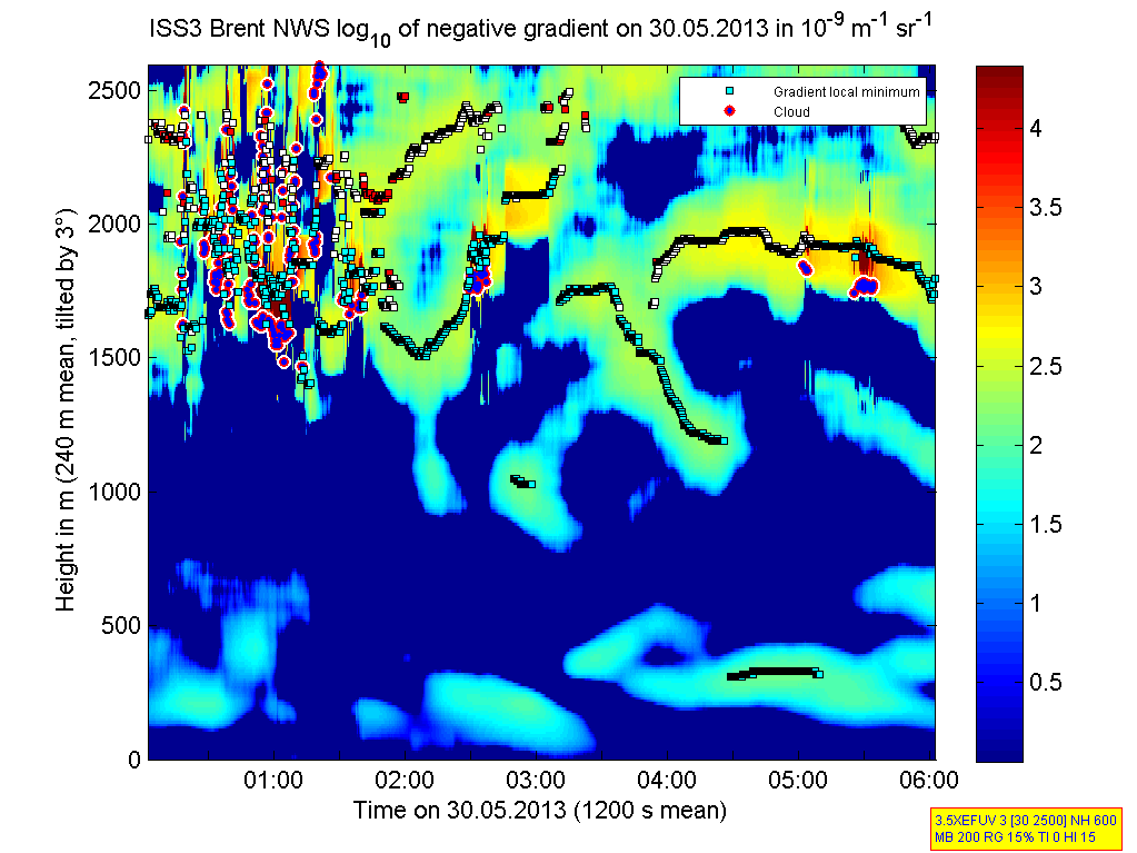
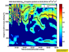
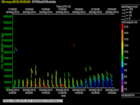
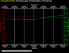
201305300000.Gradient
|
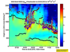
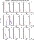
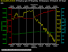
201305300600.Density
|
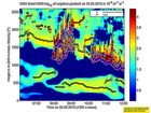
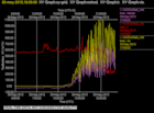
201305300600.Gradient
|
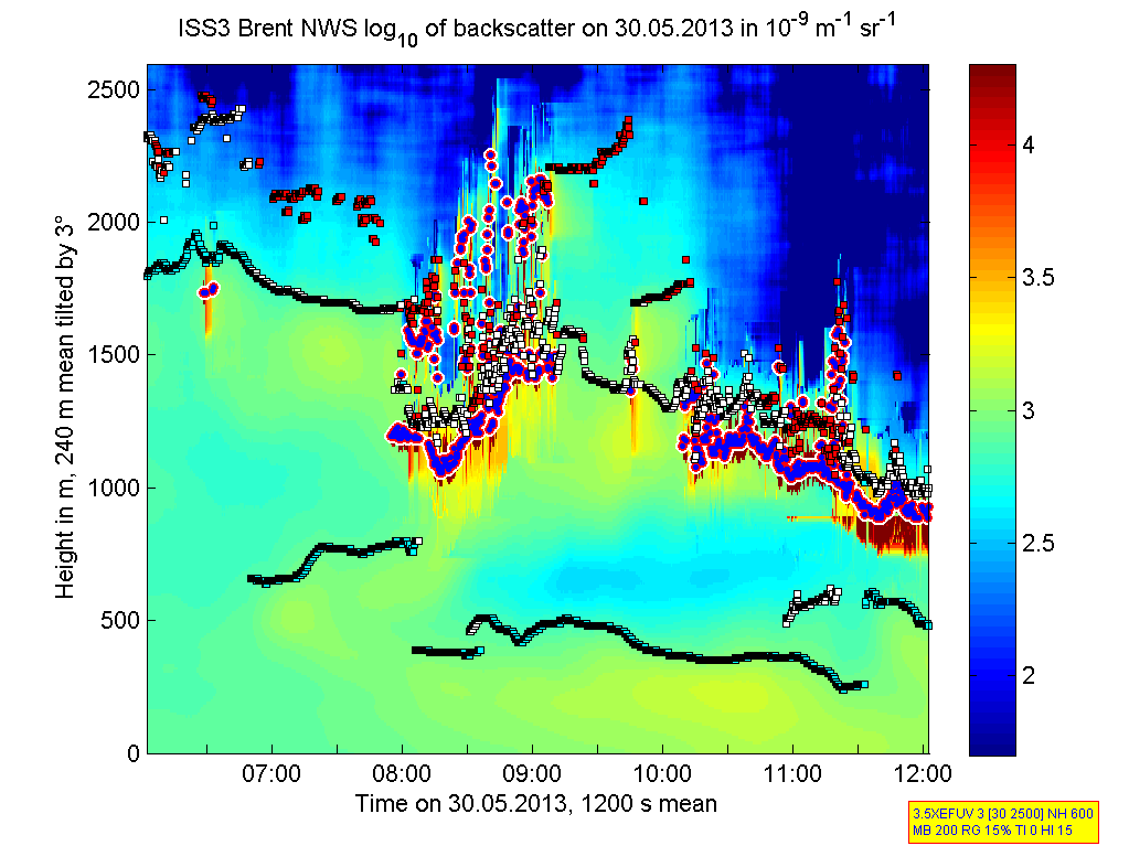
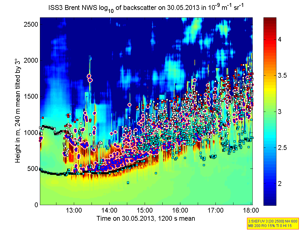
201305301200.Density
|
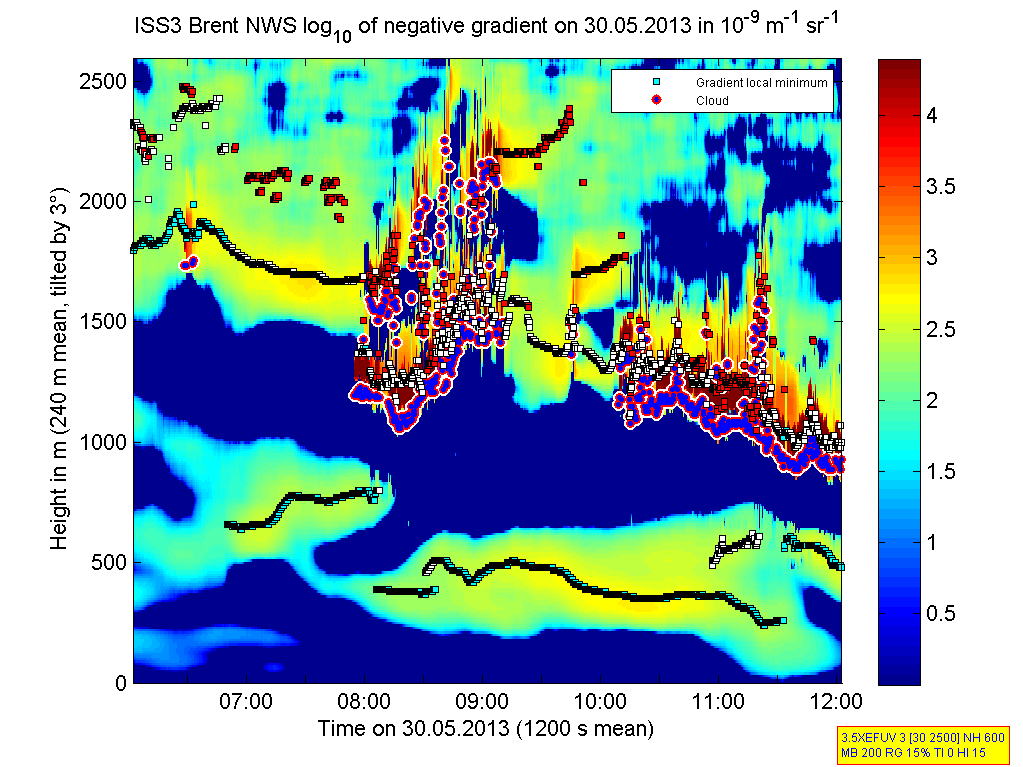
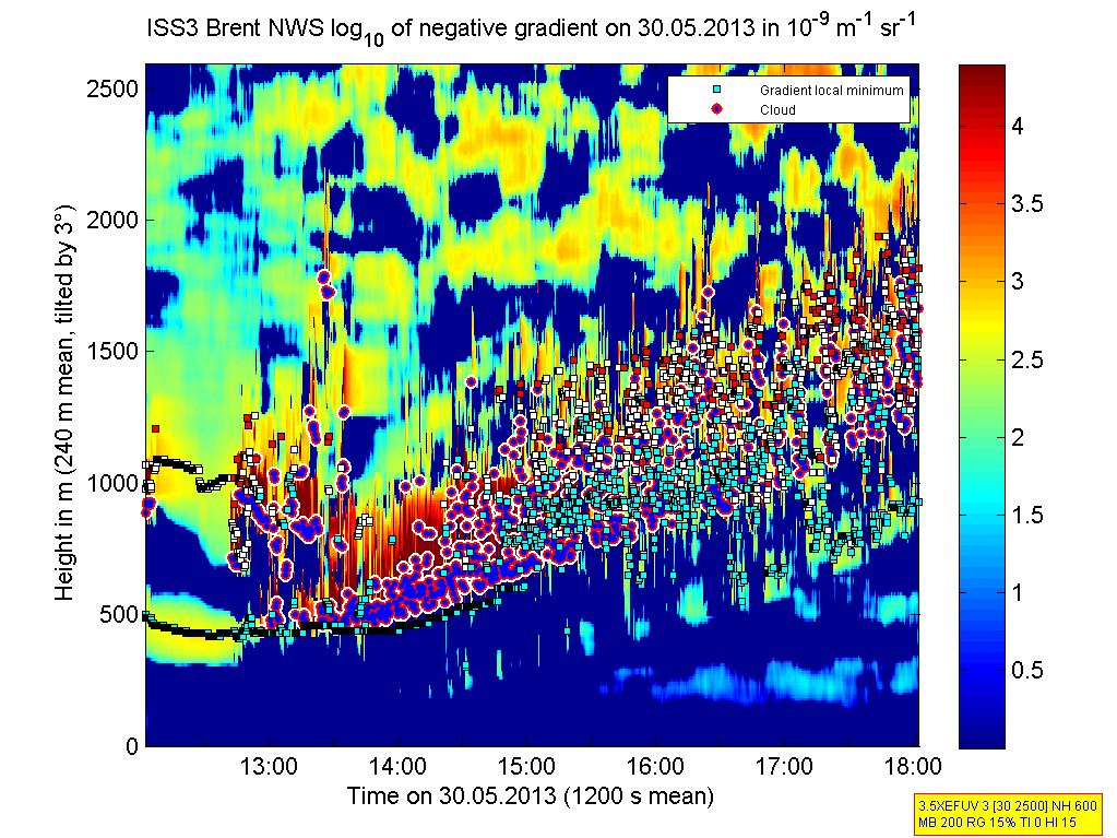
201305301200.Gradient
|
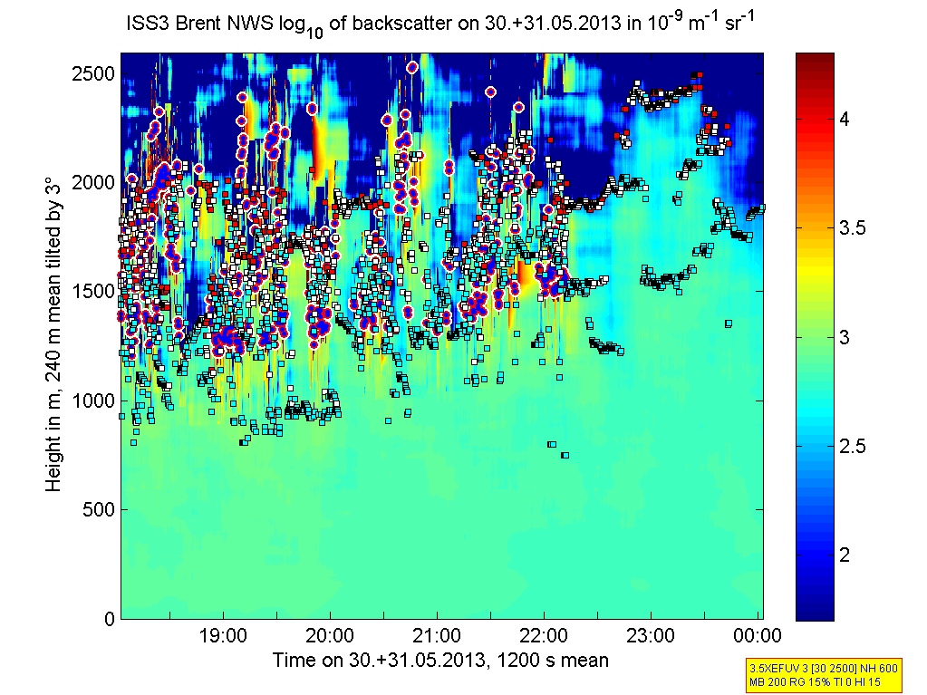
201305301800.Density
|
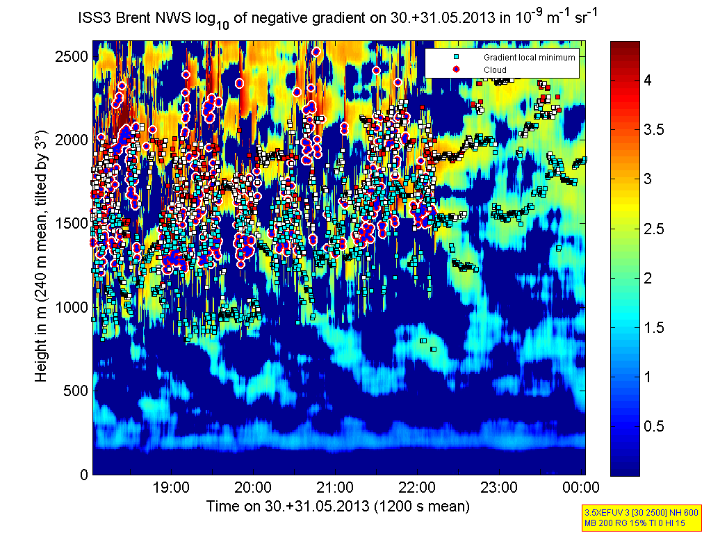
201305301800.Gradient
|
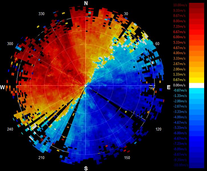
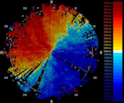
201305302057.PPI
|
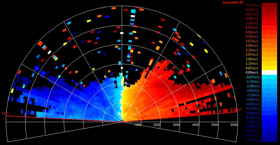
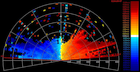
201305302201.RHI
|
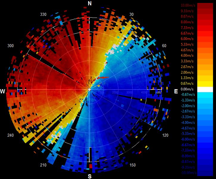
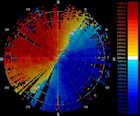
201305302205.PPI
|
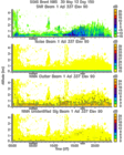
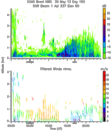
201305300000.Moments
|
201305300000.NIMA_Consensus_Dia...
|
201305300000.NIMA_Consensus_Mom...
|
201305300000.NIMA_Consensus_RASS
|
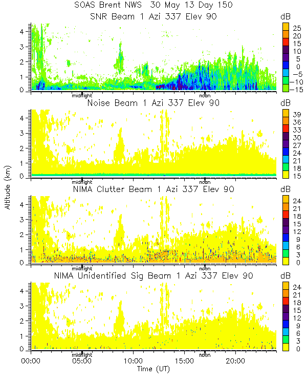
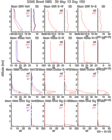
201305300000.NIMA_Diagnostic
|
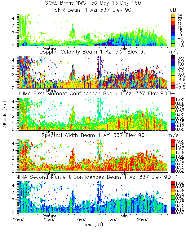
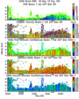
201305300000.NIMA_Moments
|
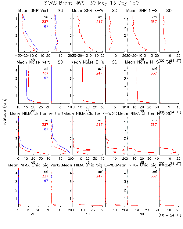
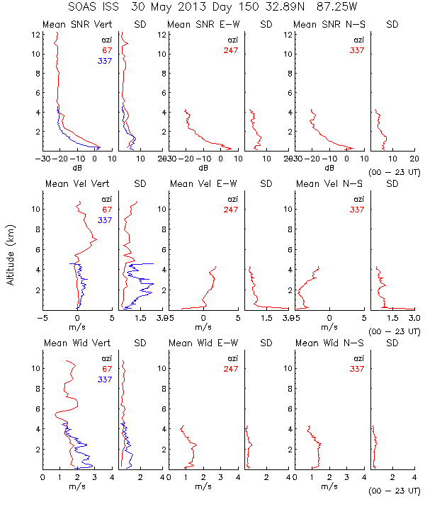
201305300000.Profiles
|
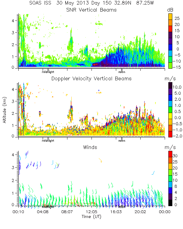
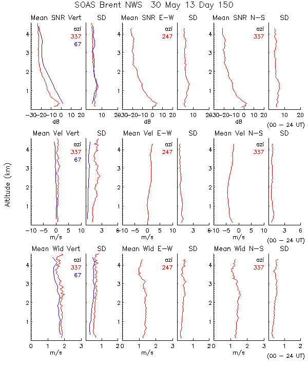
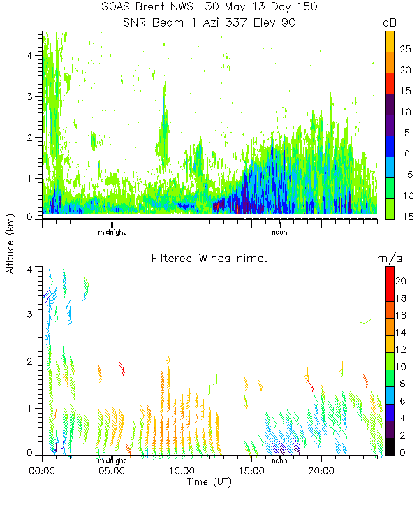
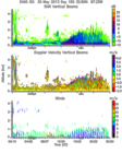
201305300000.SNR_Winds
|
201305300600.RASS

|
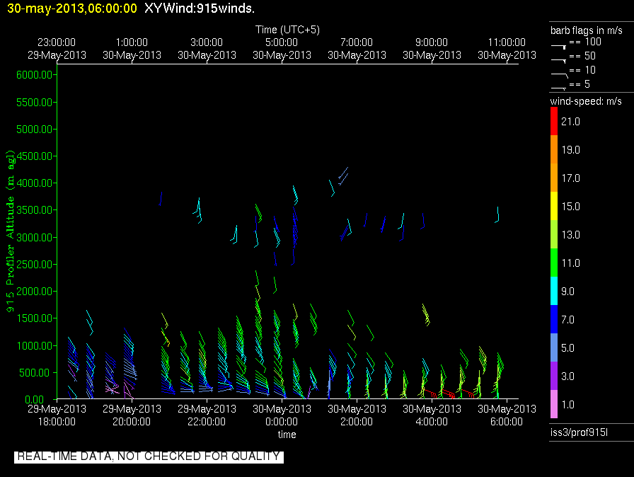
201305300600.Wind_Profile_Low
|
201305301800.RASS
|
201305301800.Wind_Profile_Low
|
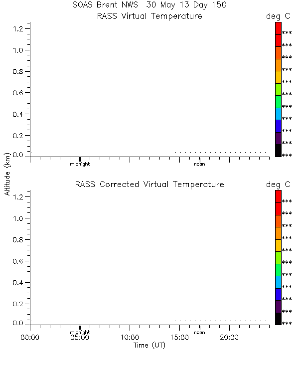
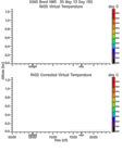
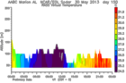
201305300000.RASS_Temperatures
|
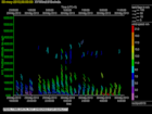
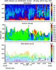
201305300000.Wind_Reflectivity
|
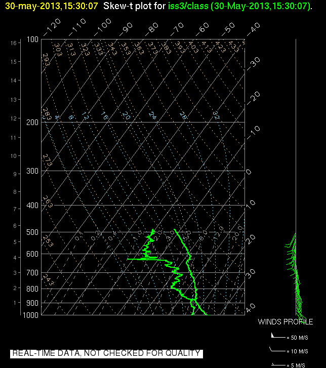
201305301530.SkewT
|
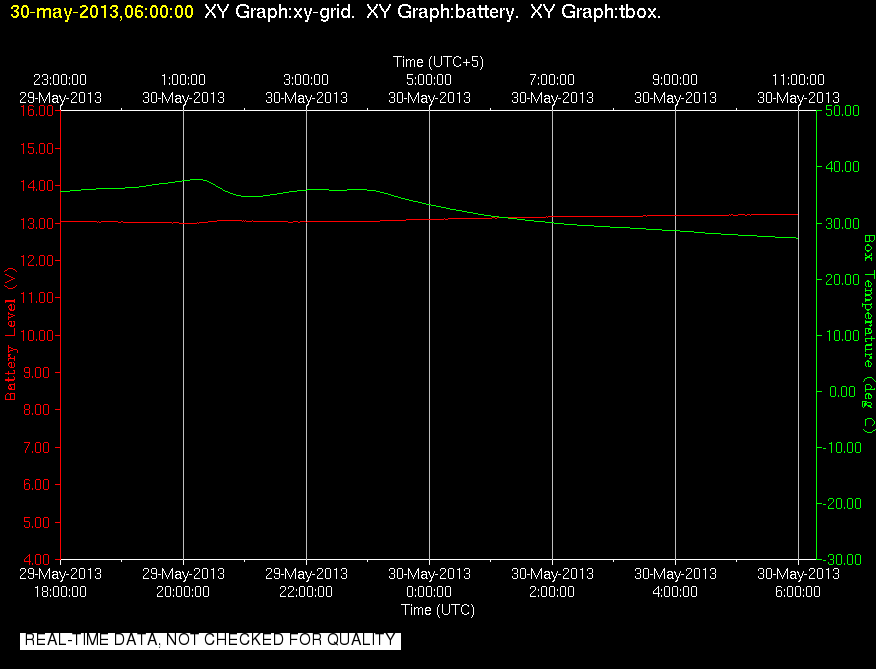
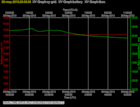
201305300600.Diagnostics
|
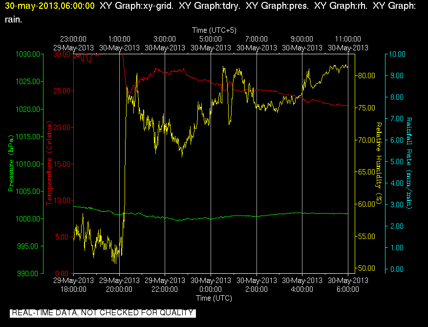
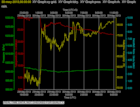
201305300600.Surface_Met
|
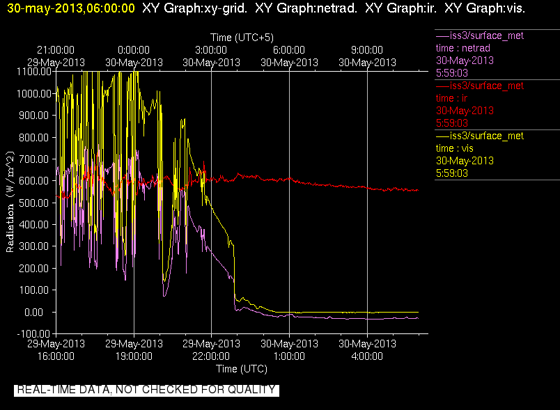
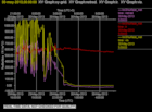
201305300600.Surface_Rad
|
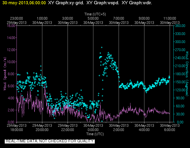
201305300600.Surface_Wind
|
201305301800.Diagnostics
|
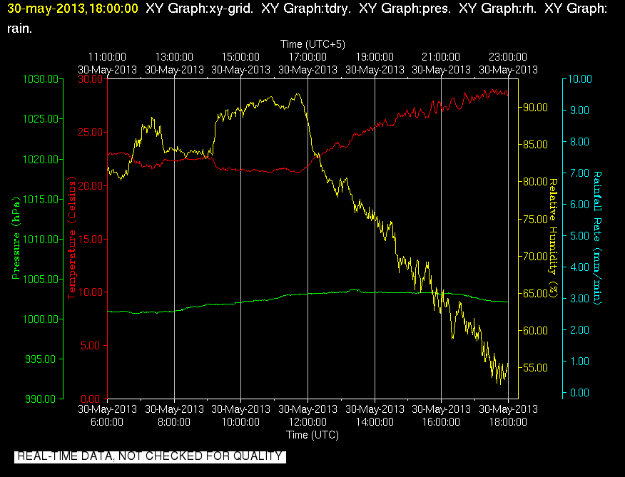
201305301800.Surface_Met
|
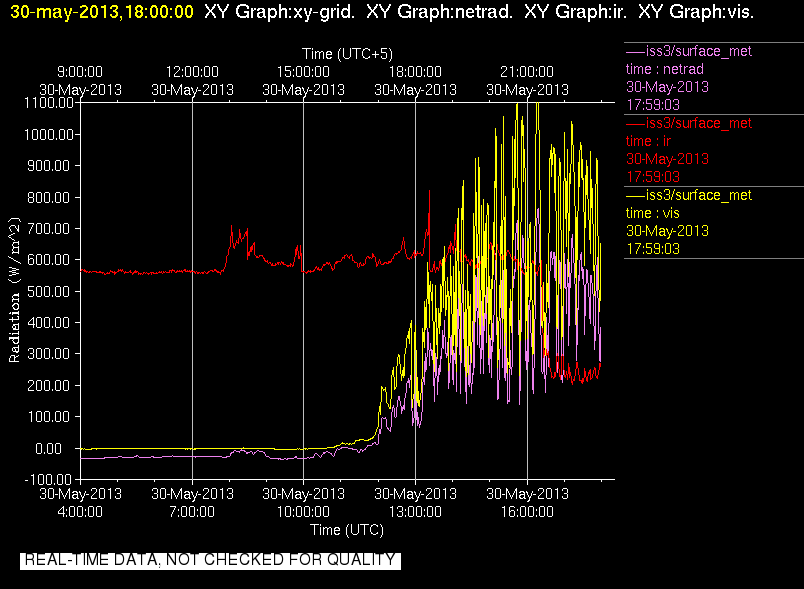
201305301800.Surface_Rad
|
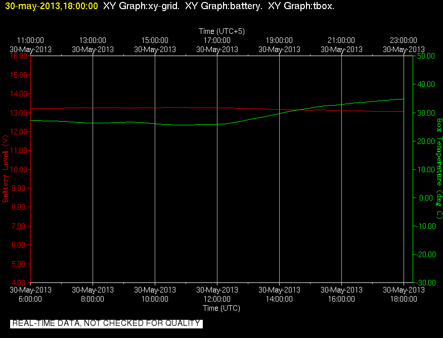
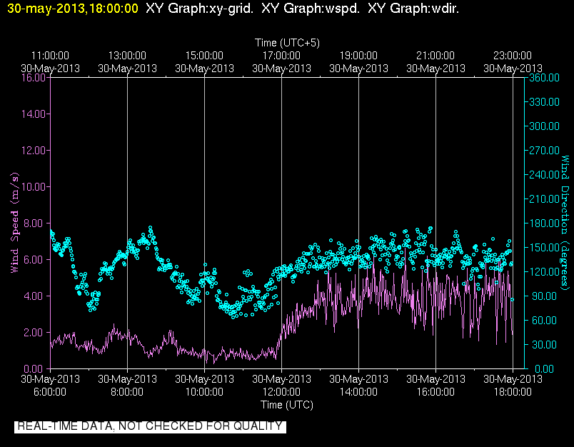
201305301800.Surface_Wind
|
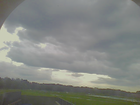
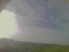
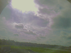
201305300000.Photo
|
201305300200.Photo
|
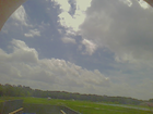
201305301200.Photo
|
201305301400.Photo
|
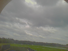
201305301600.Photo
|
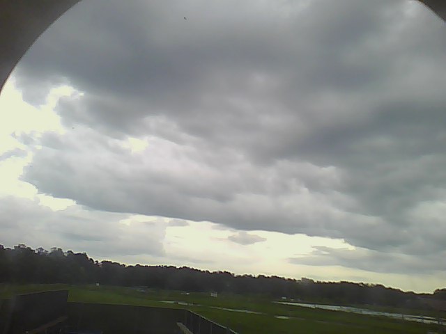
201305301800.Photo
|
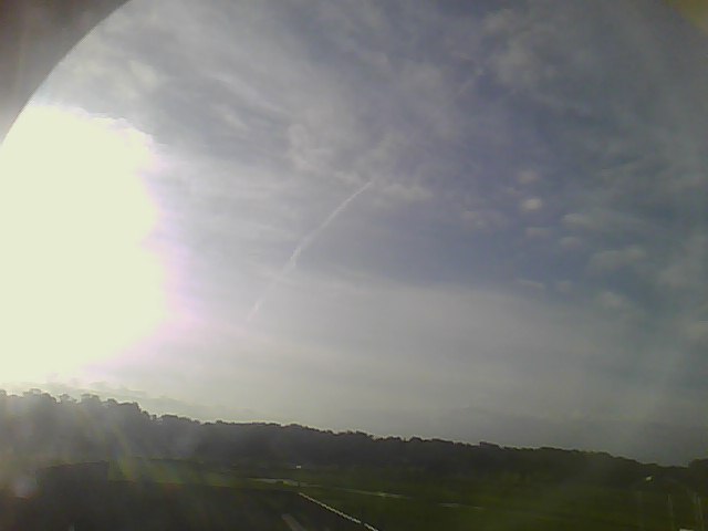
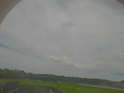
201305302000.Photo
|
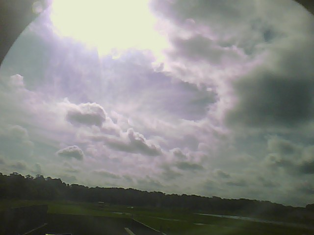
201305302200.Photo

|