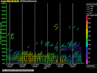
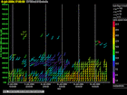
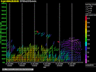
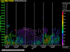
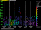
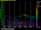
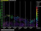
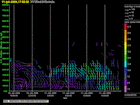
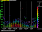
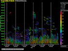
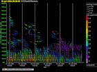
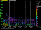
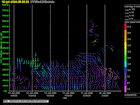
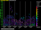
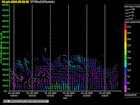
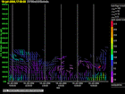
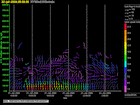
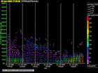
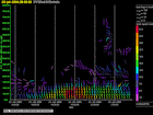
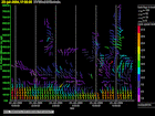
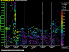
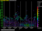
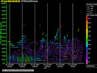
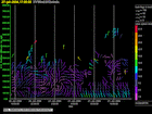
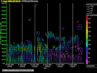
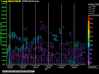
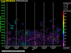
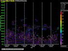
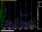
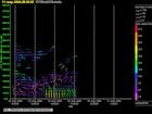
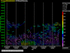
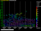
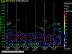
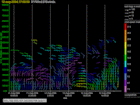
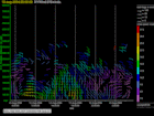
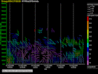
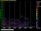
Click on the thumbnail image to view the full-size image.
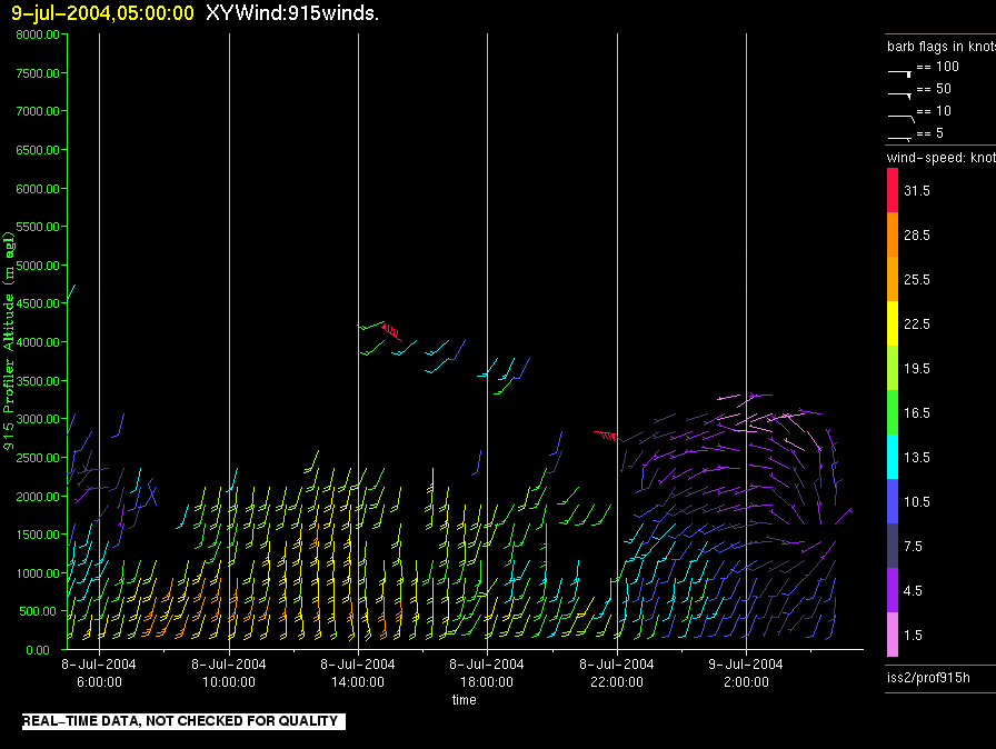
iss2.200407070500.prof915h
|
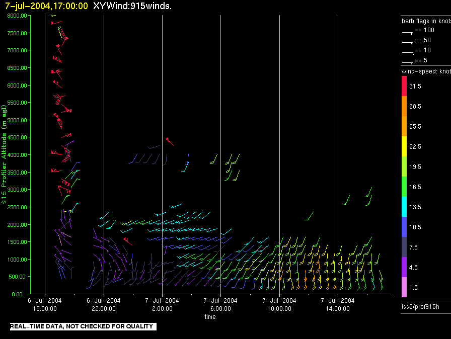
iss2.200407071700.prof915h
|
iss2.200407080500.prof915h
|
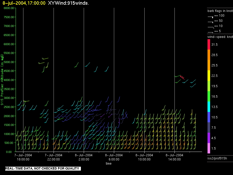
iss2.200407081700.prof915h
|
iss2.200407090500.prof915h
|
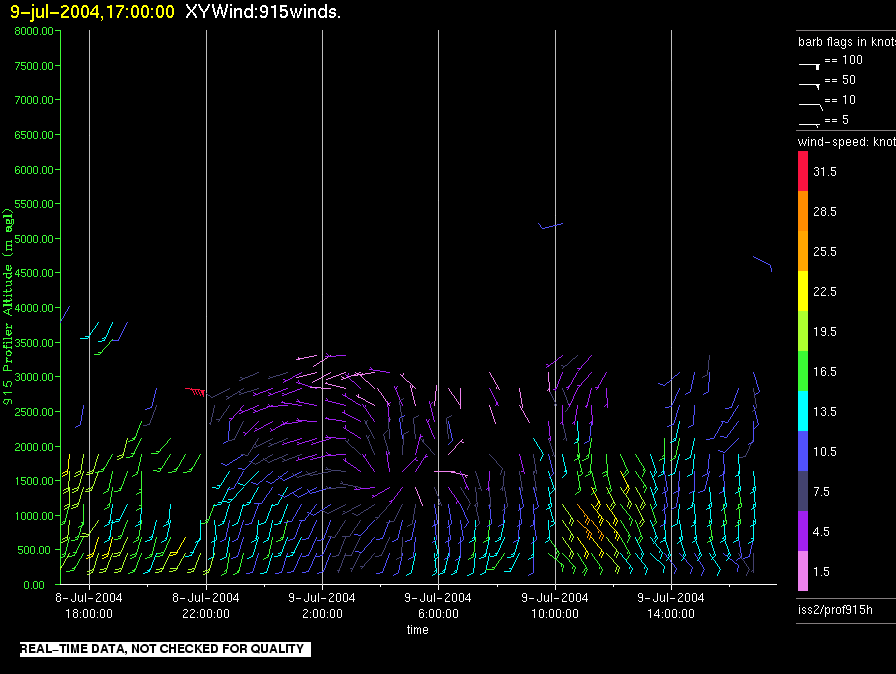
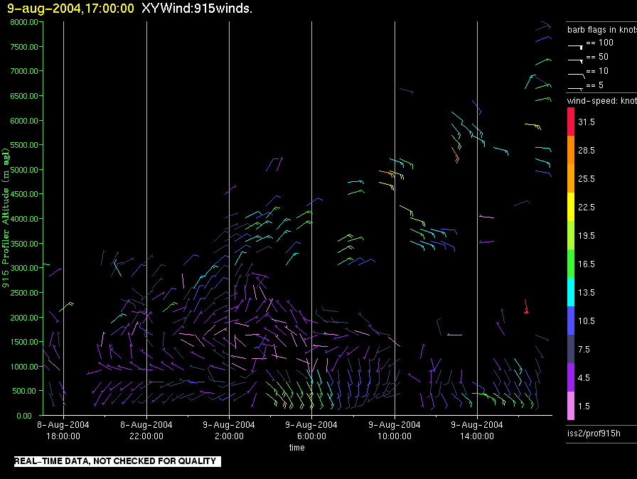
iss2.200407091700.prof915h
|
iss2.200407100500.prof915h
|
iss2.200407101700.prof915h
|
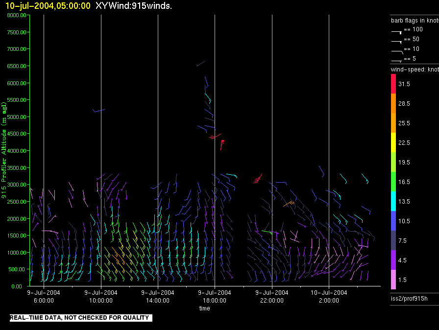
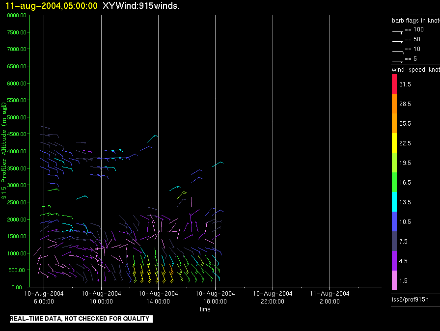
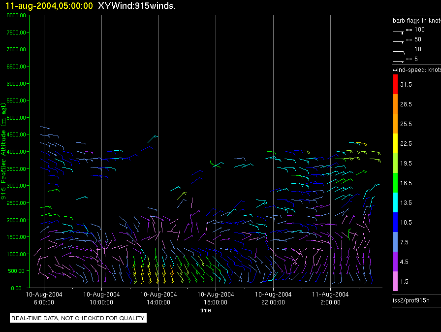
iss2.200407110500.prof915h
|
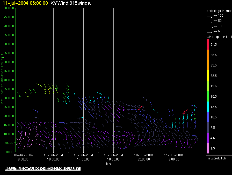
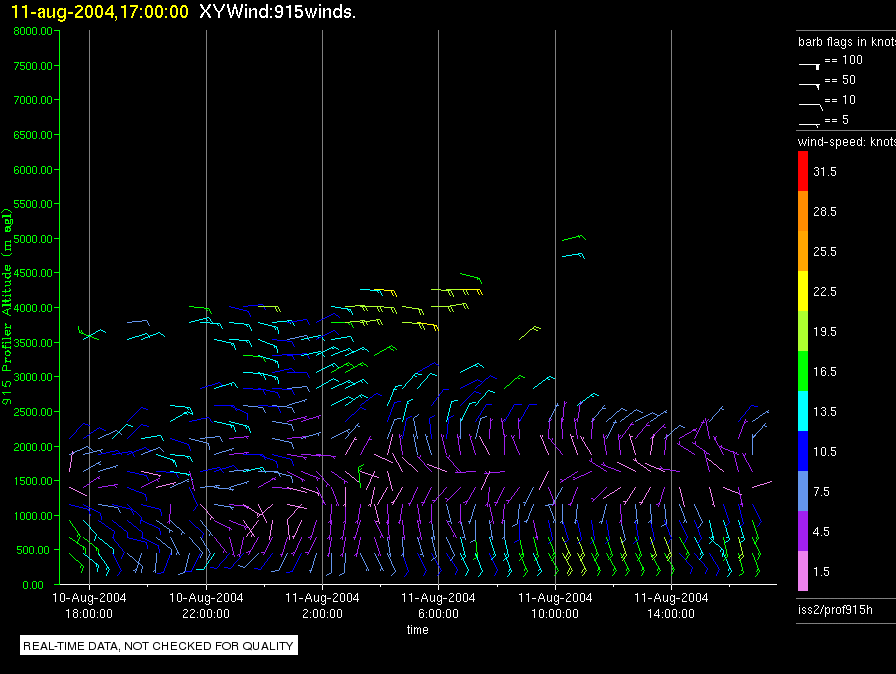
iss2.200407111700.prof915h
|
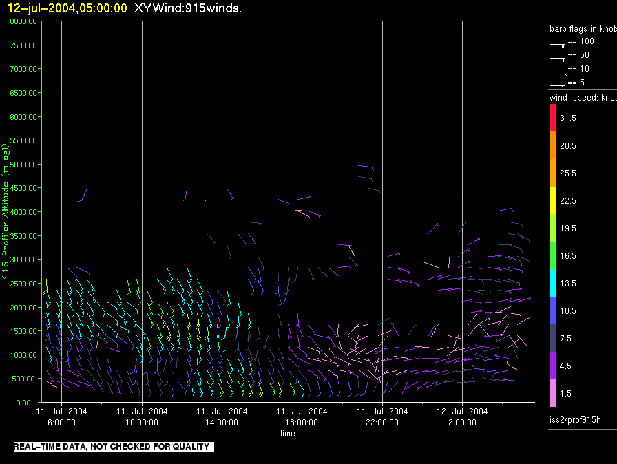
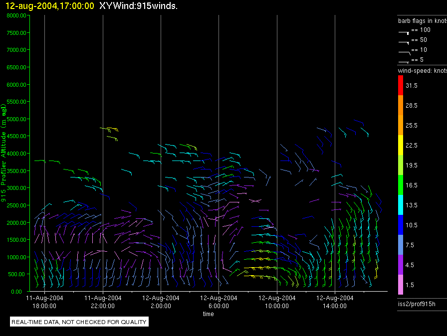
iss2.200407120500.prof915h
|
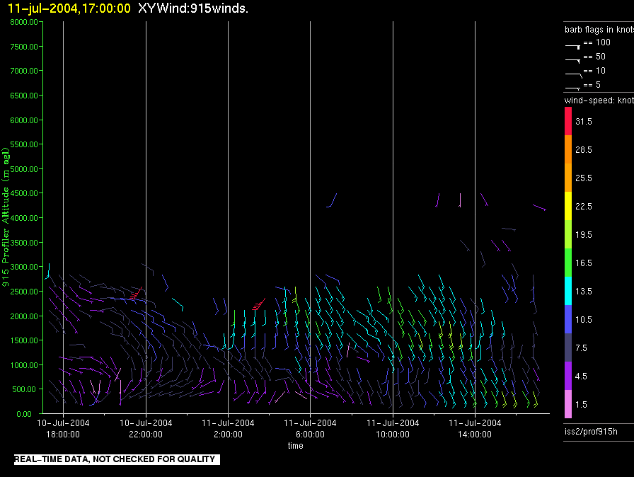
iss2.200407121700.prof915h
|
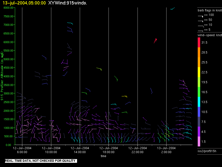
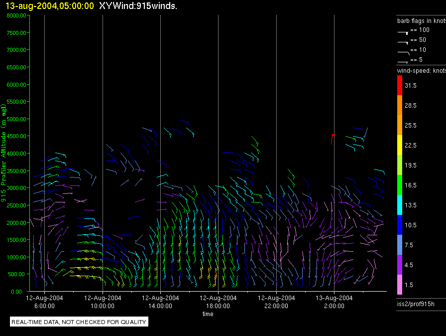
iss2.200407130500.prof915h
|
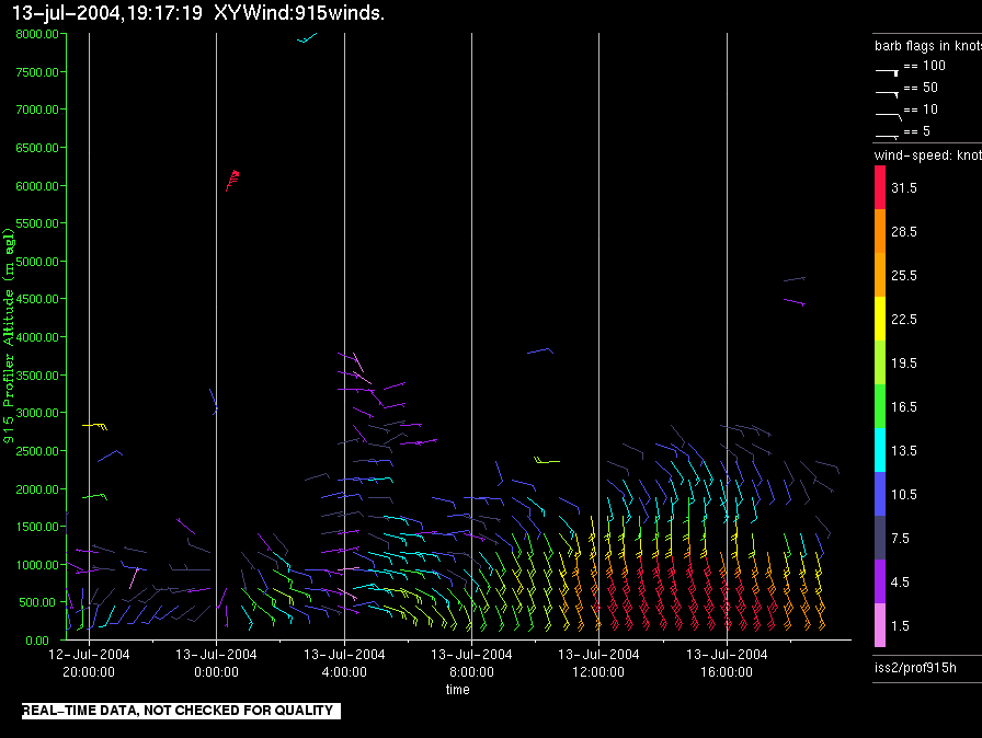
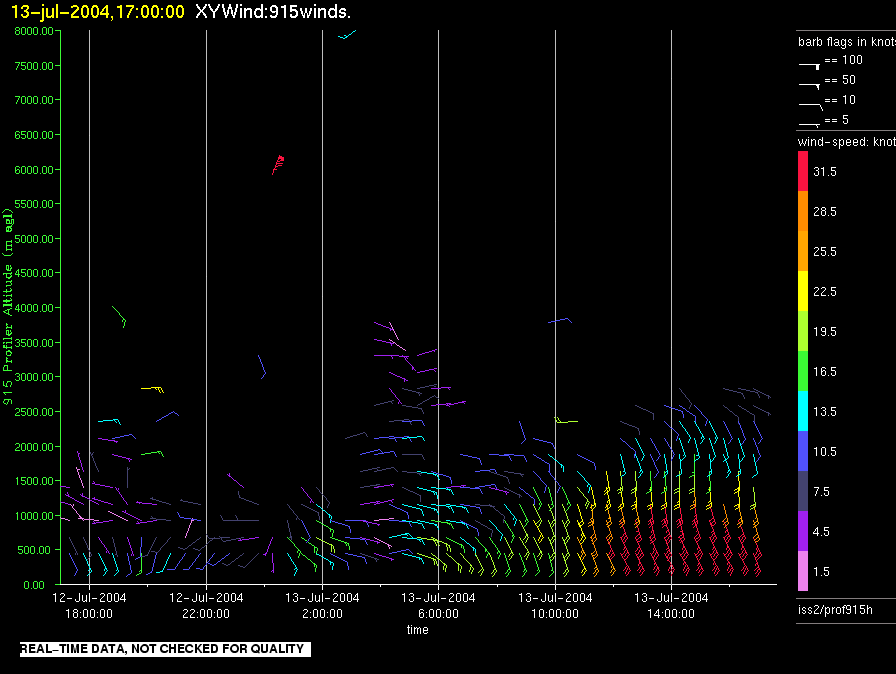
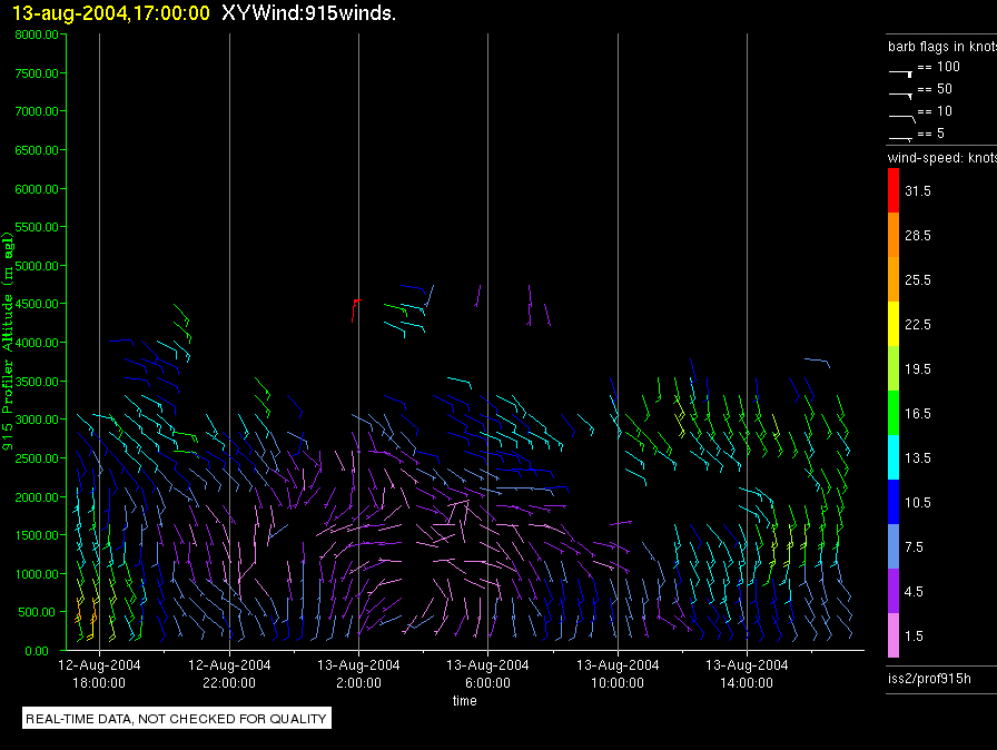
iss2.200407131700.prof915h
|
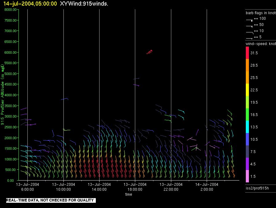
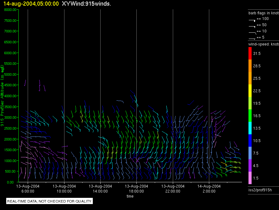
iss2.200407140500.prof915h
|
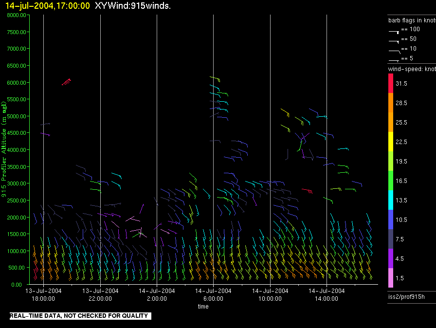
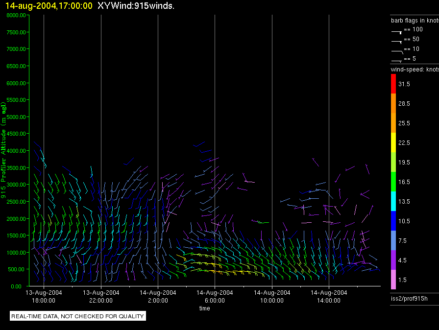
iss2.200407141700.prof915h
|
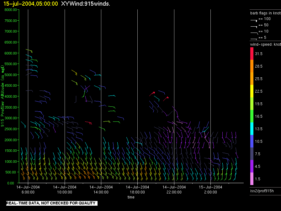
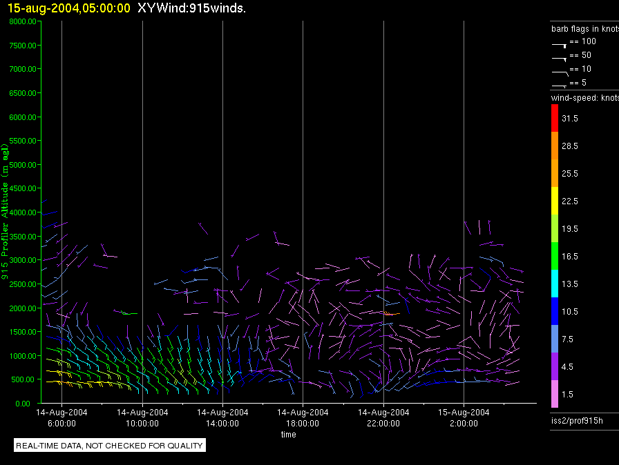
iss2.200407150500.prof915h
|
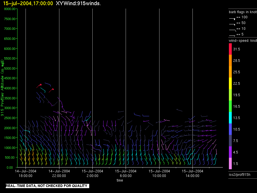
iss2.200407151700.prof915h
|
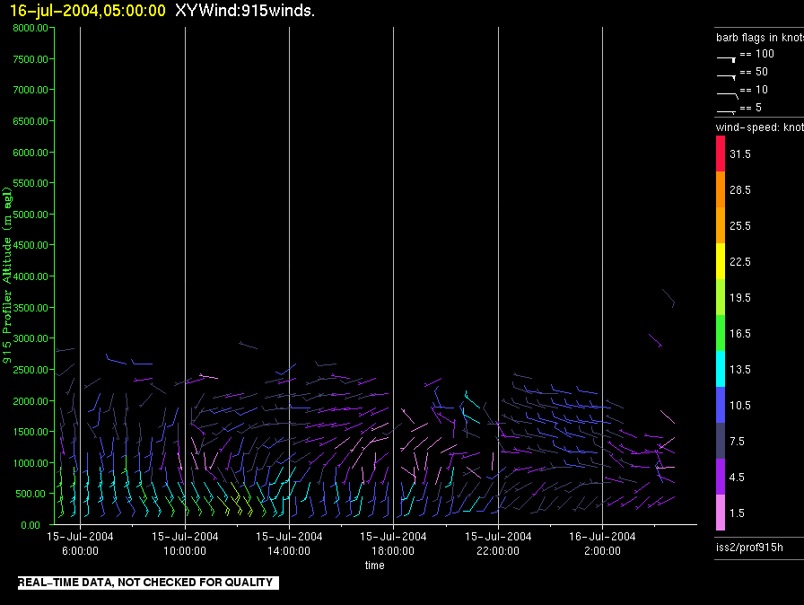
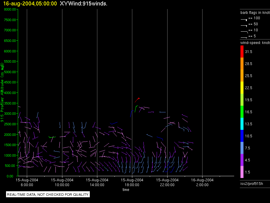
iss2.200407160500.prof915h
|
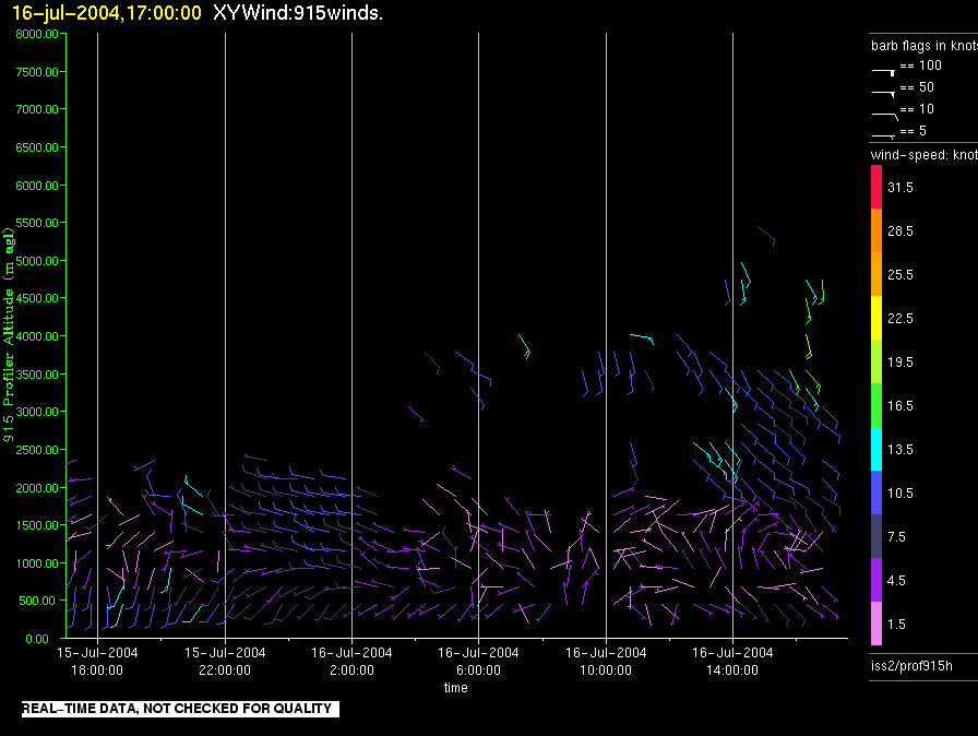
iss2.200407161700.prof915h
|
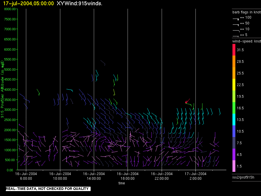
iss2.200407170500.prof915h
|
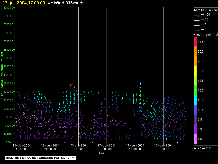
iss2.200407171700.prof915h
|
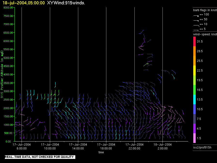
iss2.200407180500.prof915h
|
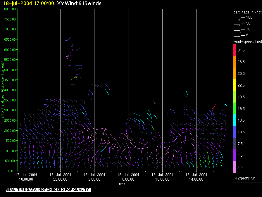
iss2.200407181700.prof915h
|
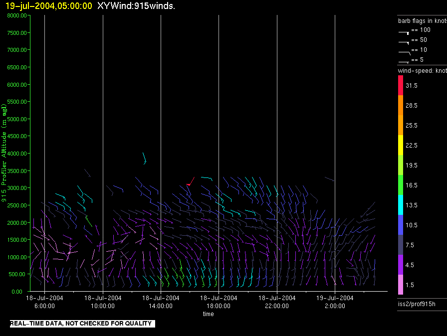
iss2.200407190500.prof915h
|
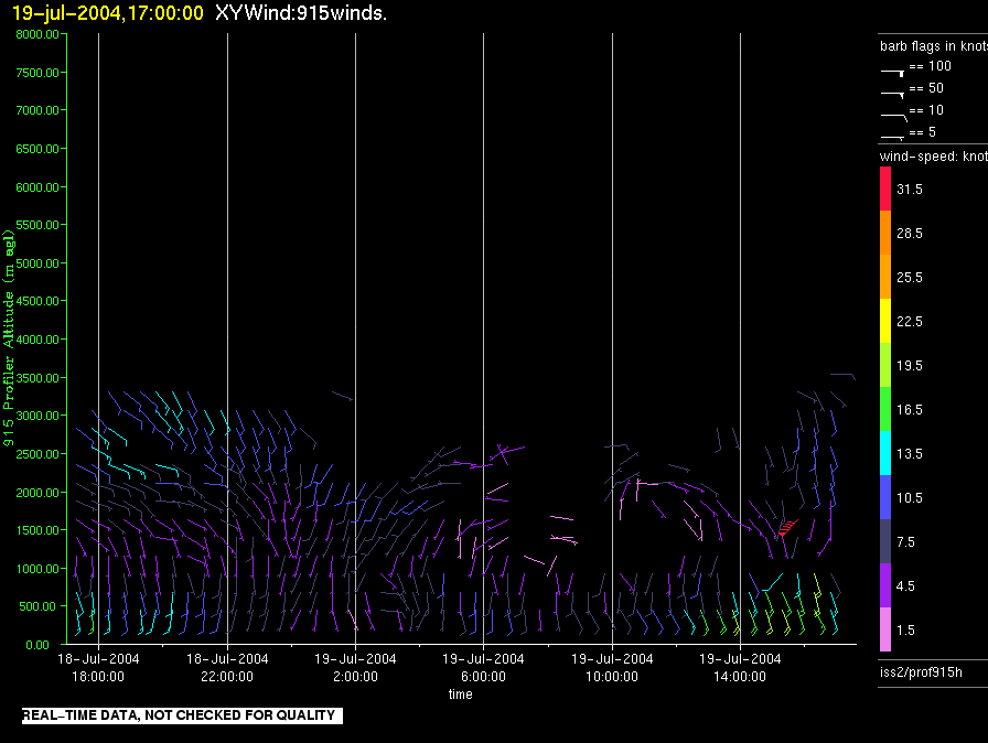
iss2.200407191700.prof915h
|
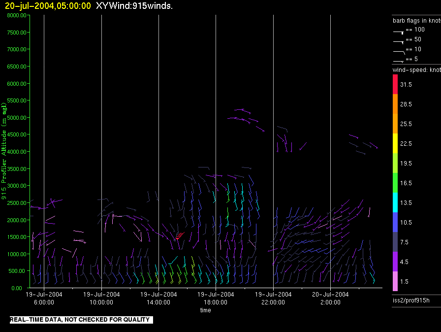
iss2.200407200500.prof915h
|
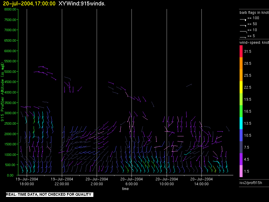
iss2.200407201700.prof915h
|
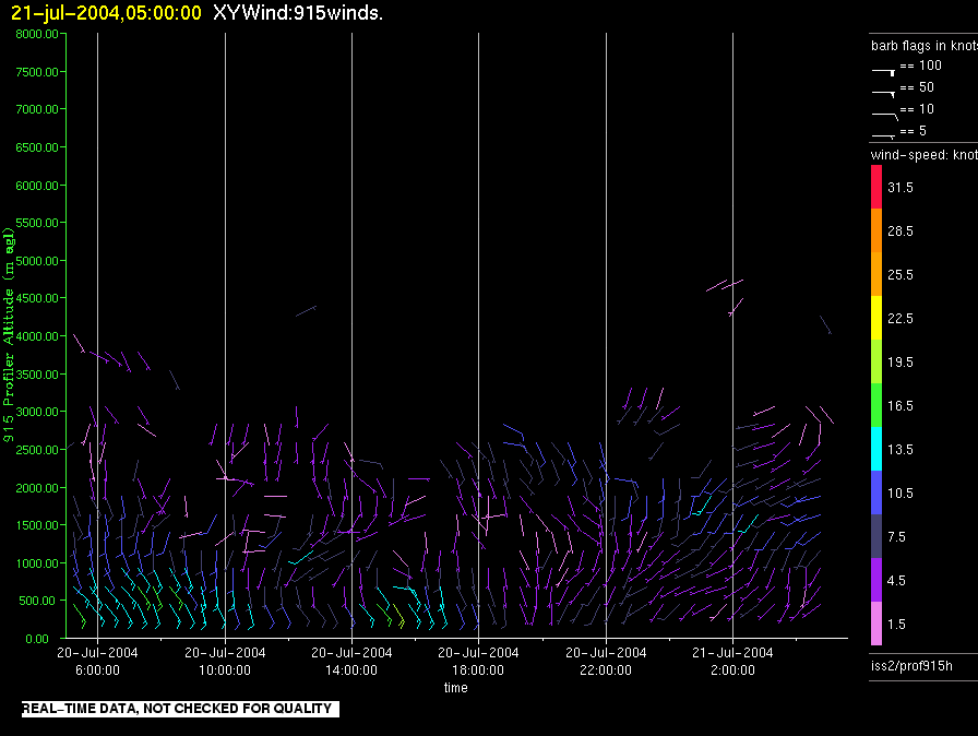
iss2.200407210500.prof915h
|
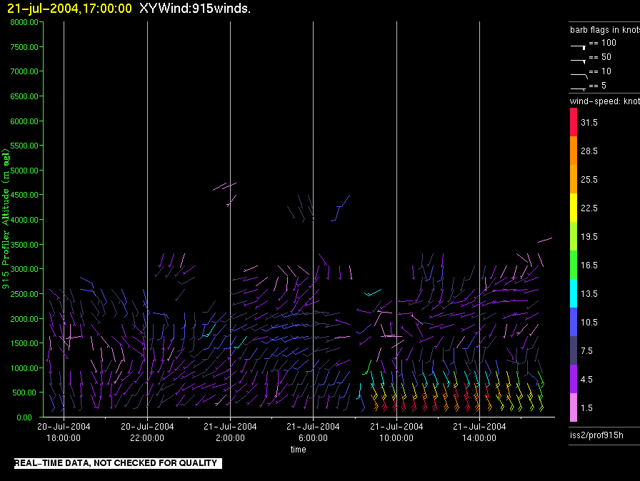
iss2.200407211700.prof915h
|
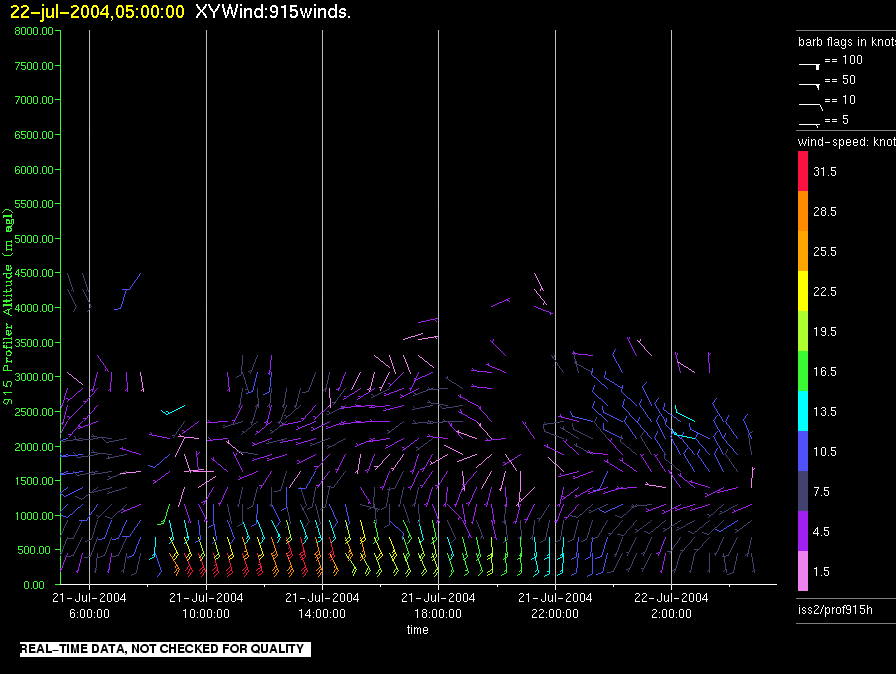
iss2.200407220500.prof915h
|
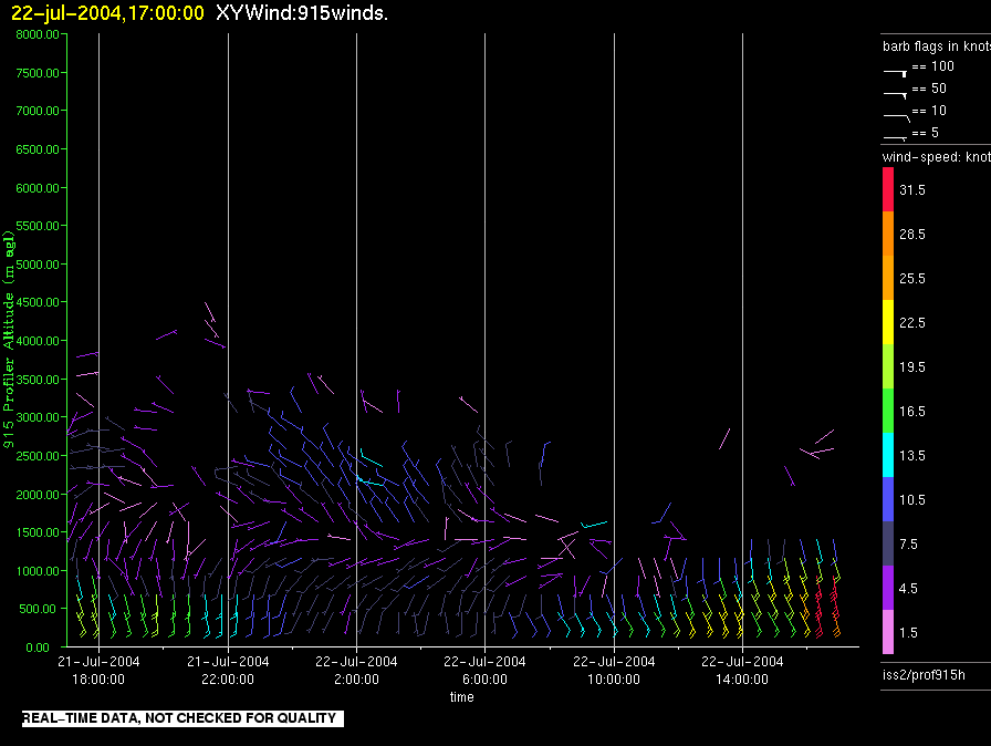
iss2.200407221700.prof915h
|
iss2.200407230500.prof915h
|
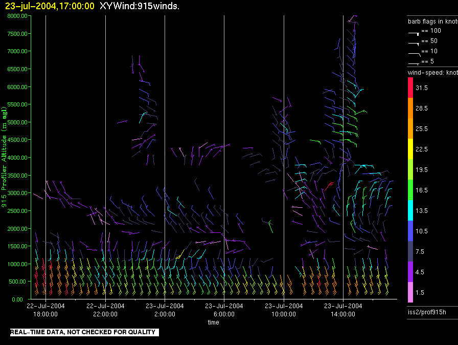
iss2.200407231700.prof915h
|
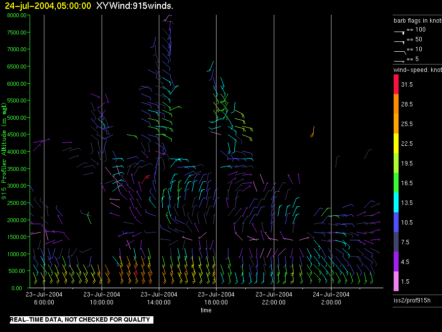
iss2.200407240500.prof915h
|
iss2.200407241700.prof915h
|
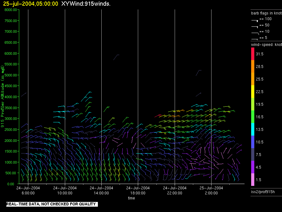
iss2.200407250500.prof915h
|
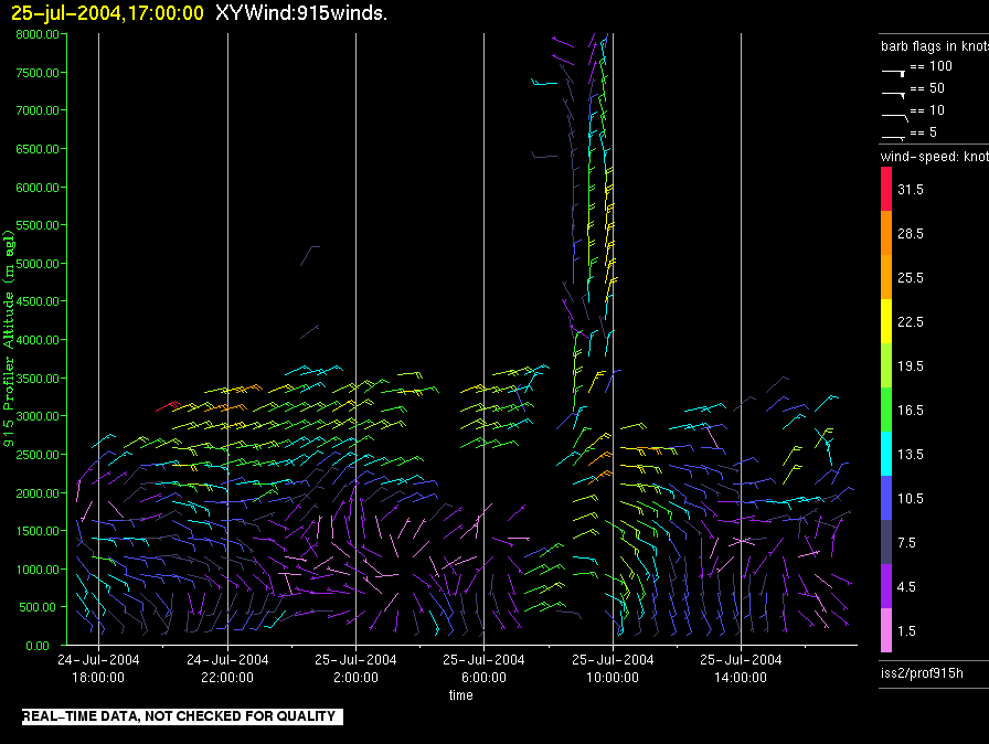
iss2.200407251700.prof915h
|
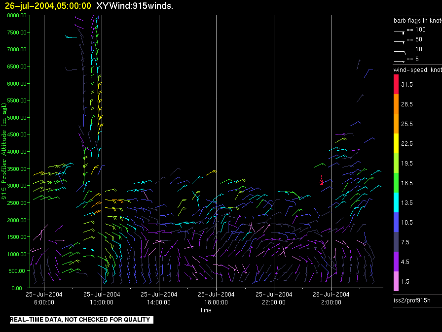
iss2.200407260500.prof915h
|
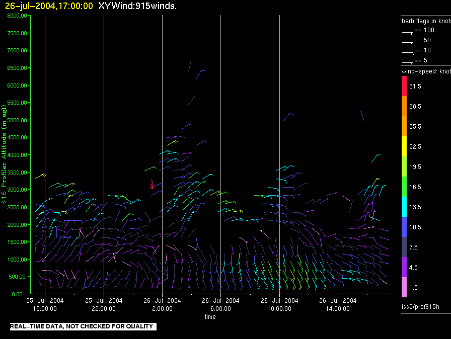
iss2.200407261700.prof915h
|
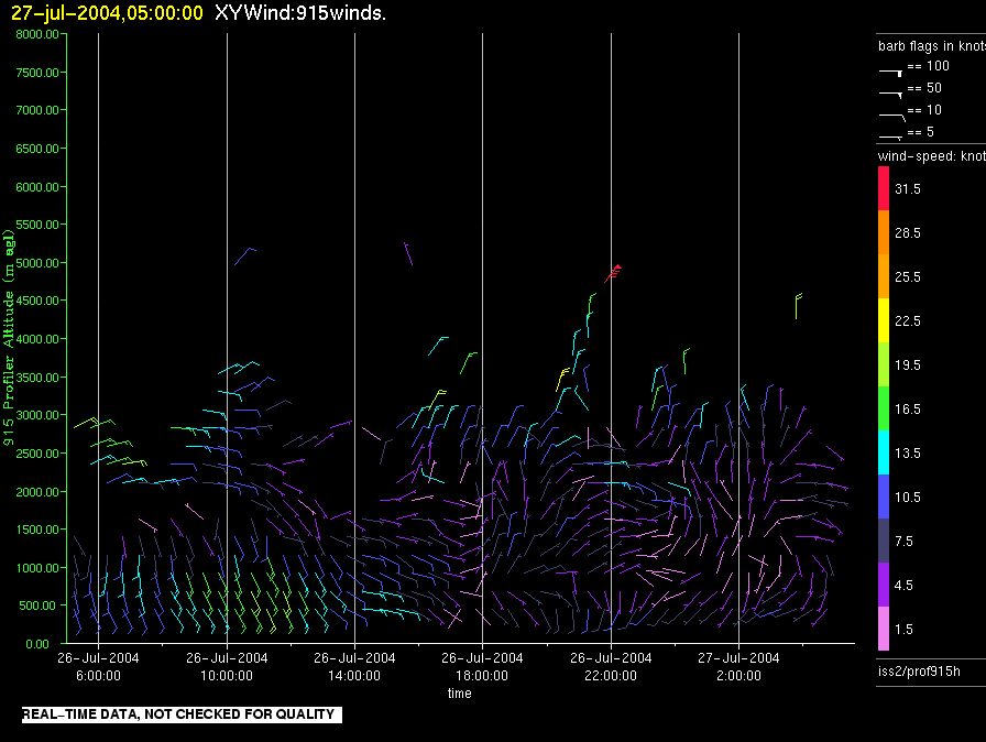
iss2.200407270500.prof915h
|
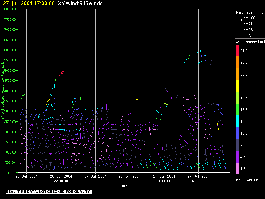
iss2.200407271700.prof915h
|
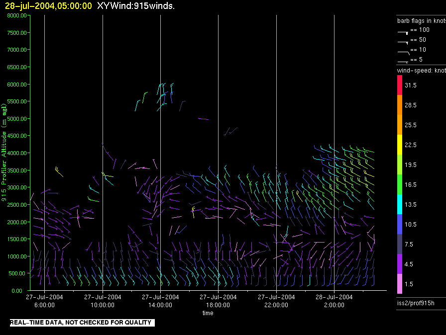
iss2.200407280500.prof915h
|
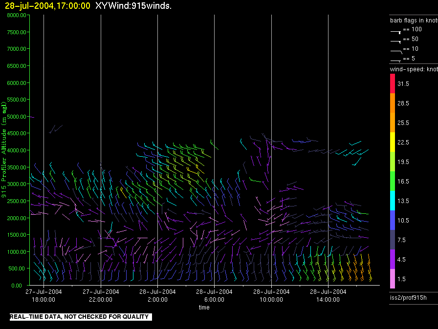
iss2.200407281700.prof915h
|
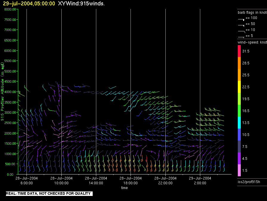
iss2.200407290500.prof915h
|
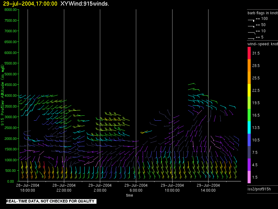
iss2.200407291700.prof915h
|
iss2.200407300500.prof915h
|
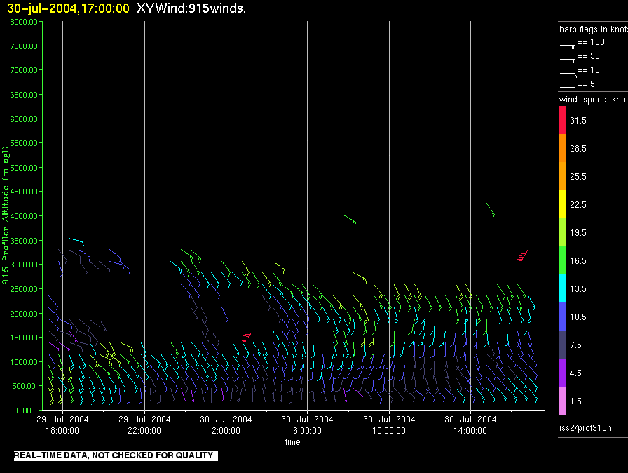
iss2.200407301700.prof915h
|
iss2.200407310500.prof915h
|
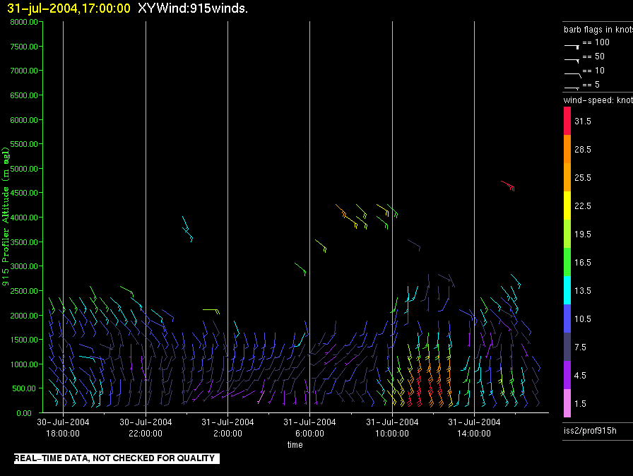
iss2.200407311700.prof915h
|
iss2.200408010500.prof915h
|
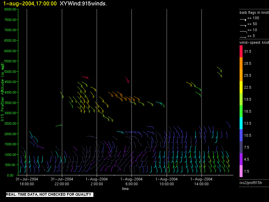
iss2.200408011700.prof915h
|
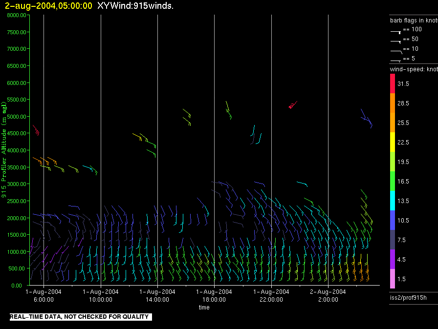
iss2.200408020500.prof915h
|
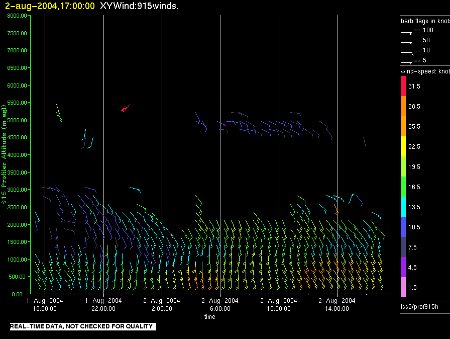
iss2.200408021700.prof915h
|
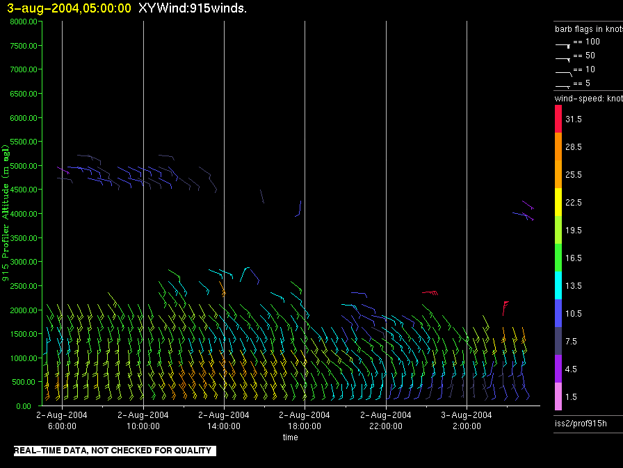
iss2.200408030500.prof915h
|
iss2.200408031700.prof915h
|
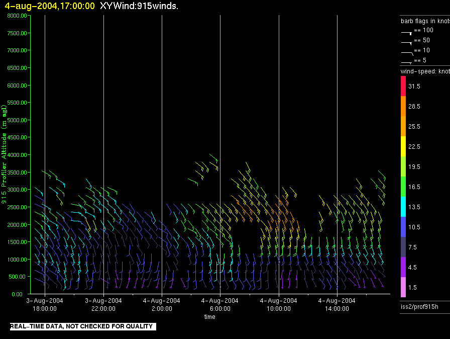
iss2.200408040500.prof915h
|
iss2.200408041700.prof915h
|
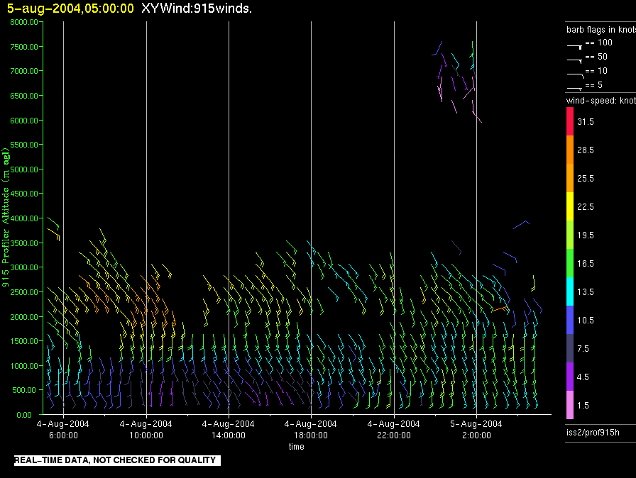
iss2.200408050500.prof915h
|
iss2.200408051700.prof915h
|
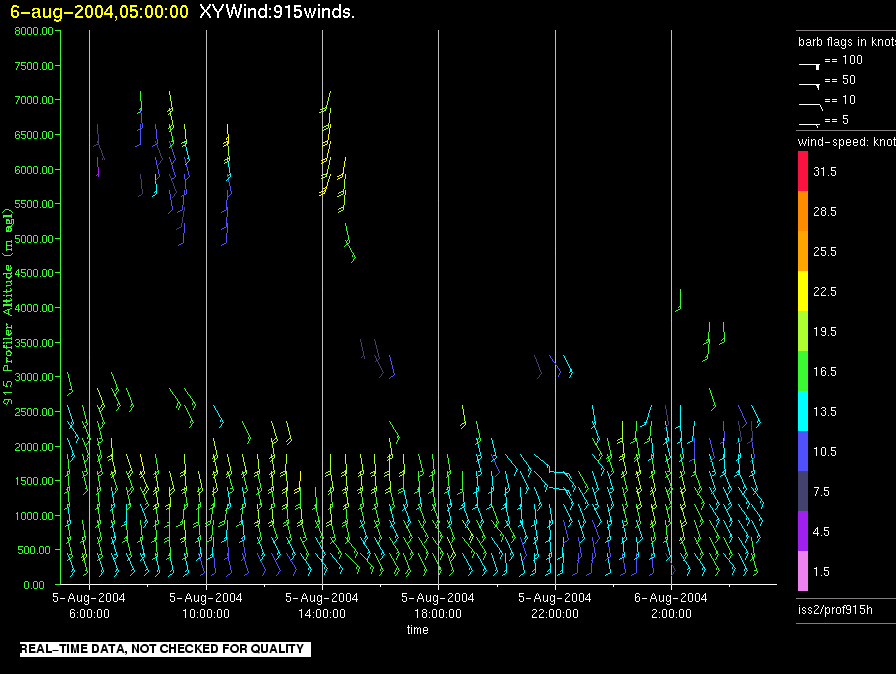
iss2.200408060500.prof915h
|
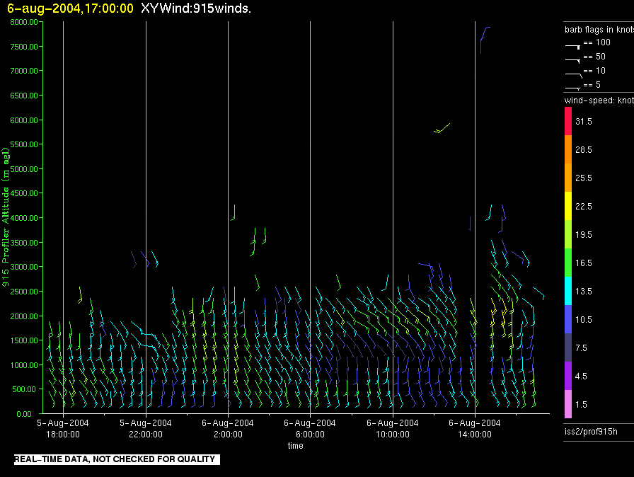
iss2.200408061700.prof915h
|
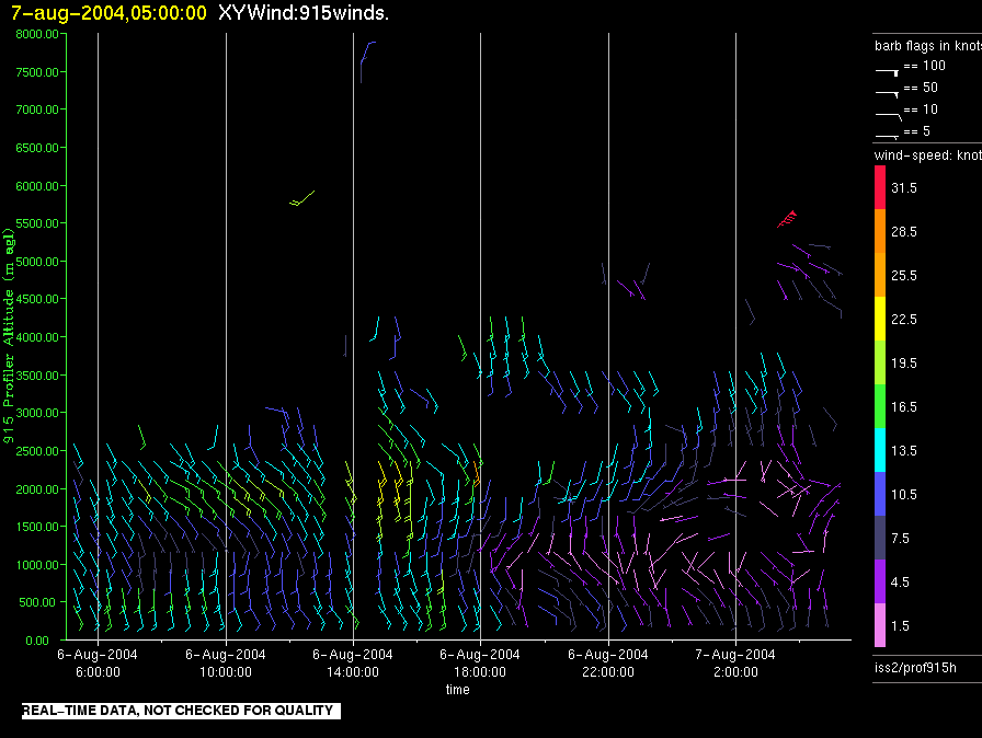
iss2.200408070500.prof915h
|
iss2.200408071700.prof915h
|
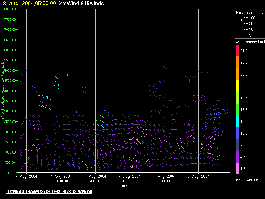
iss2.200408080500.prof915h
|
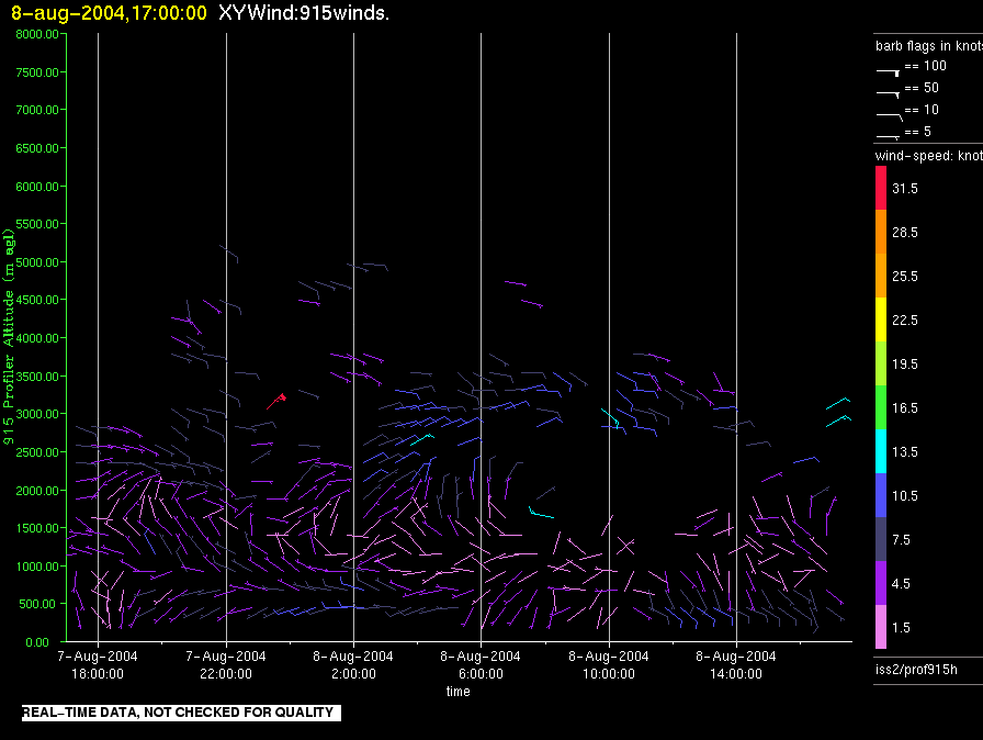
iss2.200408081700.prof915h
|
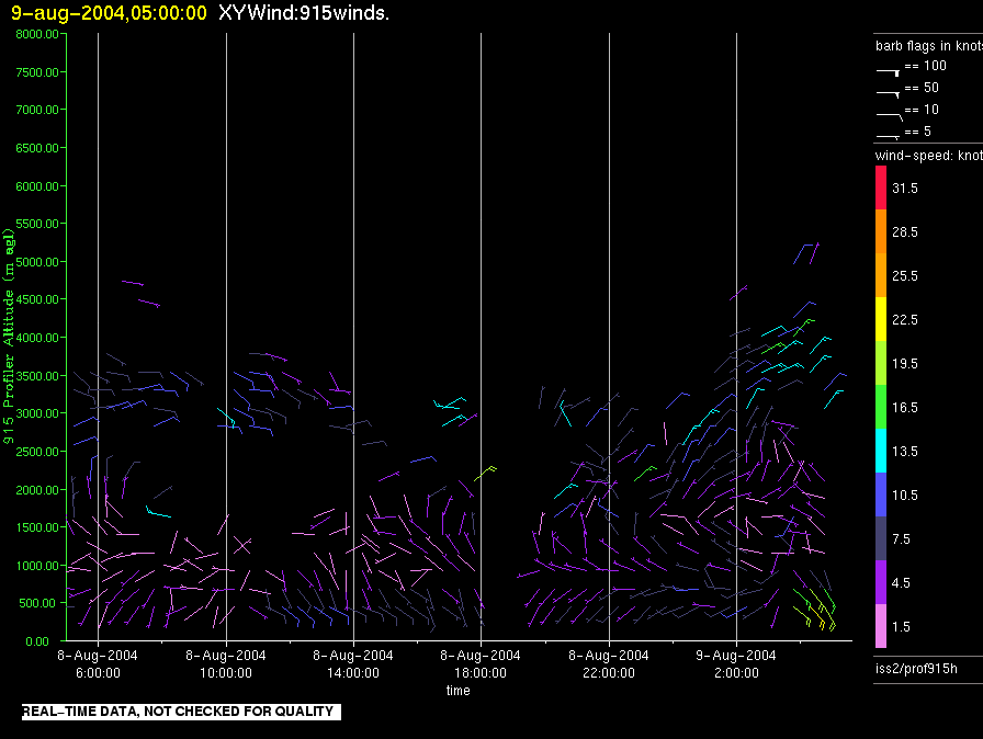
iss2.200408090500.prof915h
|
iss2.200408091700.prof915h
|
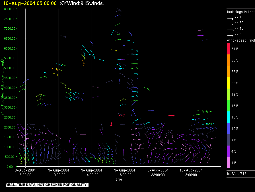
iss2.200408100500.prof915h
|
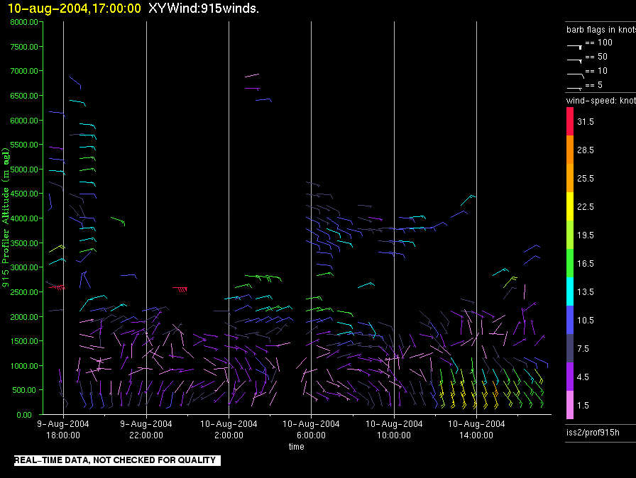
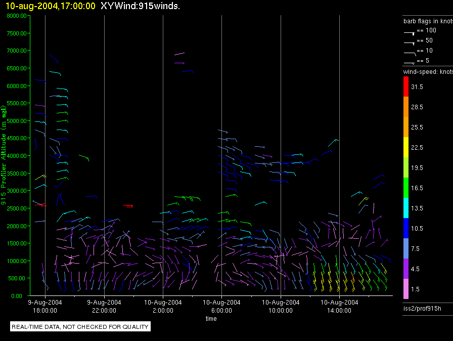
iss2.200408101700.prof915h
|
ISS2_Profiler.200408101700.Wind_Profile_High
|
iss2.200408110500.prof915h
|
ISS2_Profiler.200408110500.Wind_Profile_High
|
ISS2_Profiler.200408111700.Wind_Profile_High
|
ISS2_Profiler.200408120500.Wind_Profile_High
|
ISS2_Profiler.200408121700.Wind_Profile_High
|
ISS2_Profiler.200408130500.Wind_Profile_High
|
ISS2_Profiler.200408131700.Wind_Profile_High
|
ISS2_Profiler.200408140500.Wind_Profile_High
|
ISS2_Profiler.200408141700.Wind_Profile_High
|
ISS2_Profiler.200408150500.Wind_Profile_High
|
ISS2_Profiler.200408151700.Wind_Profile_High
|
ISS2_Profiler.200408160500.Wind_Profile_High
|