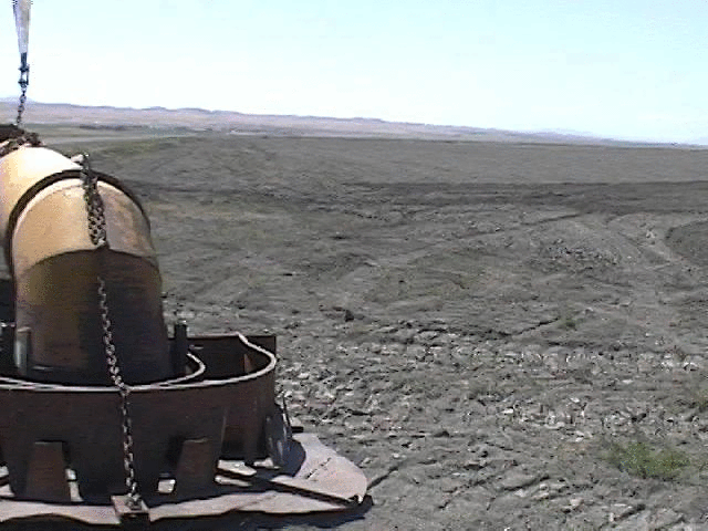
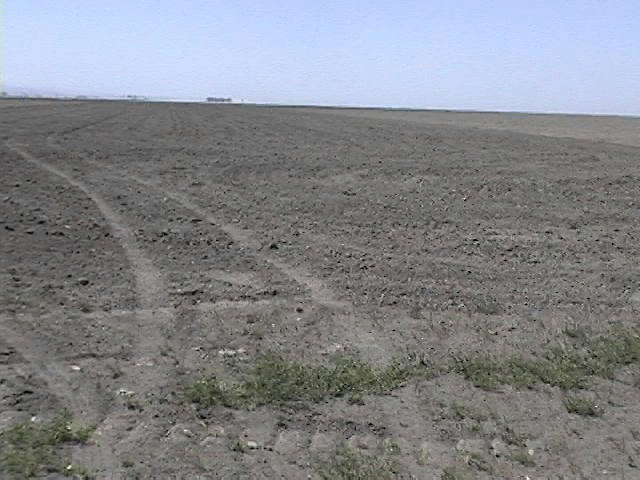
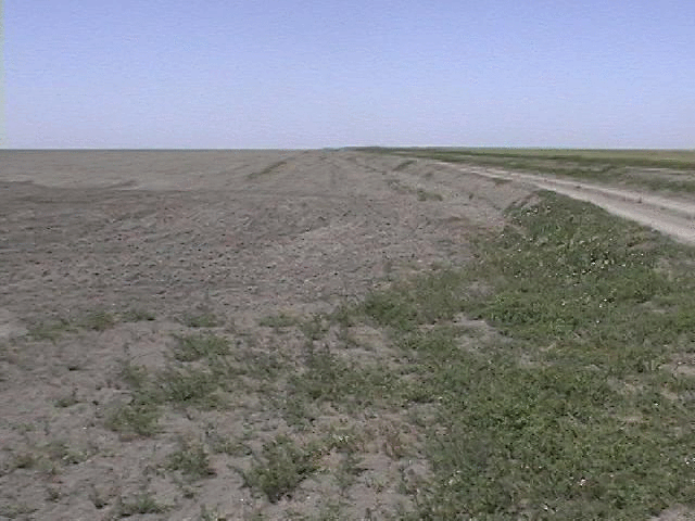
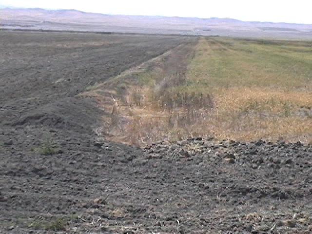
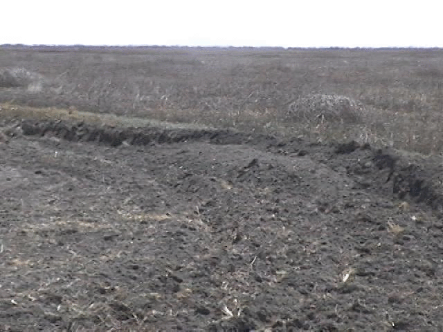
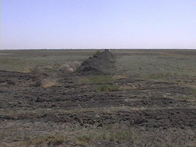
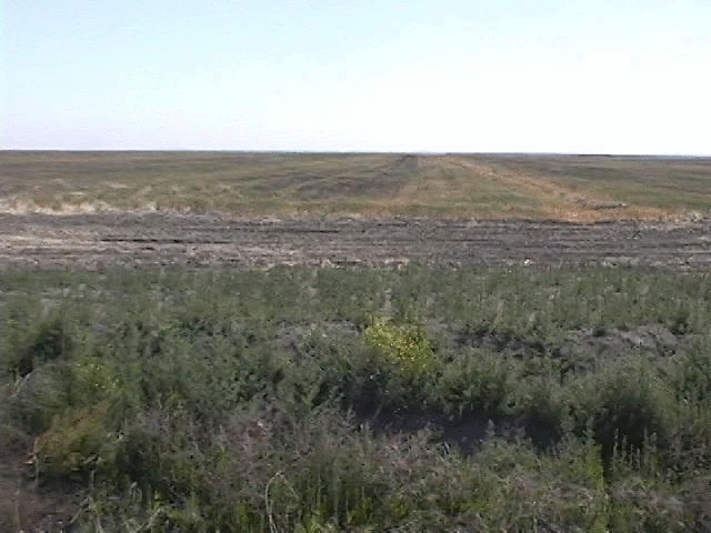
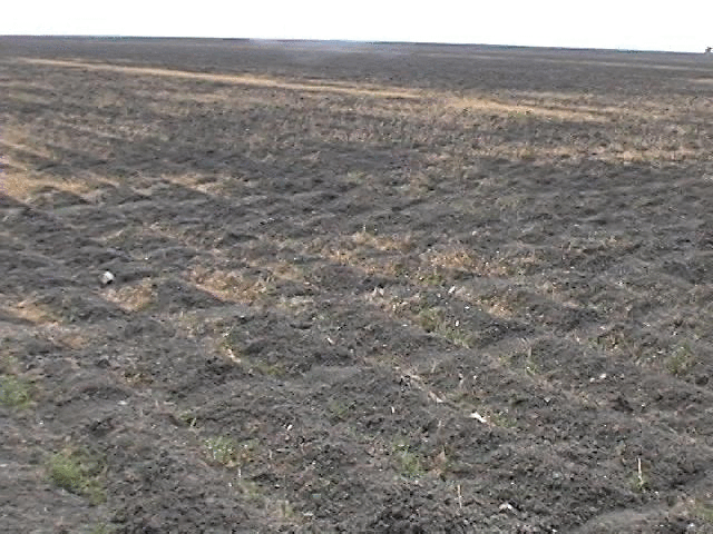
The towers would be located near the SE corner of field 22150. Here are photos with views to the W, NW, and N from this corner. The five fields: 22040, 22030, 22090, 22100, 22150 are all fallow. (Field 22160 is lightly watered to make tall grass for bird habitat.) When I was there in early May, these fields had somewhat different surface cover. Here are photos of the edge between 22150 and 22100, 22040 and 22090, and 22040 and 22090. I also have photos of the surface for 22090, 22040
For this site, the towers would have to be powered by a generator, since the nearest power would be over 3 miles away. We would use RF ethernet for the data transmission to the trailer 4 miles away, which is within the specification of 5 miles between sites using a pair UNI-16 antennas which we have. It would be a trip of 5.5 miles to drive from the base to the towers over roads which are not supposed to be driven at over 15 mph (for dust reduction), but which I drove at about 35 mph during my survey.
I left California thinking that this was the best location for SGS.
There are more irrigation canals between these fields, and the "PUMP DITCH" along the S edge of this field is high. Generator power would still be needed at the tower, but the distance from the base would be only 2 miles. RF ethernet data connection still would be used and the 2 mile distance should be well within the 5 mile specification. Hwy 41 gets a lot of traffic and is 2.5 miles upwind.
I haven't spoken with the farmer specifically about either of these two sites and don't know what his reaction will be to this base location or operating a generator for the towers. I also don't know if the surface conditions will change by September.
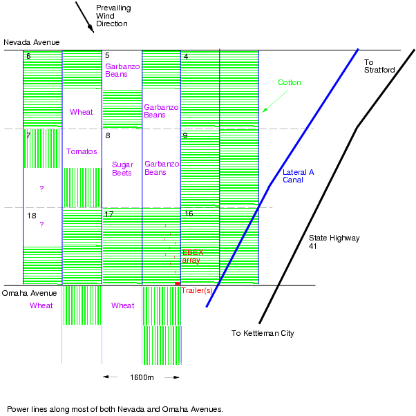
The towers would be located in the SE corner of field 21087, which currently is growing garbanzo beans (see a diagram of these fields), but will be harvested stubble by September. The fetch would be about a mile over this field. Irrigation canals run every 1/2 mile N-S here.
We have not yet decided on how power would be provided to the towers. It is possible that we would lay out a mile of cable along the road (about 1/2 mile longer than for EBEX). It also is possible that we would use a generator. Data communication would be via RF ethernet using UNI-16 and OMNI-8 antennae which are specified for a distance of 1.7 mile.