
Site       Coords(WGS84,ddd:mm.mmm)   Elev  Coords,dd:mm:ss.s          Coords,dd.ddddd
Name:      Lat         Lon             (m)  Lat         Lon            Lat       Lon
-------    ----------  ------------   ----  ----------  ------------   --------  ---------
S-Pol      17:36.4502   -61:49.4370      7  17:36:27.0   -61:49:26.2   17.60750  -61.82395
Elevation adjusted to be the elevation to center of S-band dish. Note that ground level at the S-Pol site was just below sea level. Readings were made from the transmitter van's permanent GPS, with the GPS antenna located within 4 meters of the base of the radar pedestal; integration time was several weeks.
The S-Pol radar was located on swampy ground to the south of the town of Codrington on the island of Barbuda in the West Indies island chain. The site was muddy, and surrounded by low shrubs/trees with heights on the order of 4 meters. The ground rose slightly toward the WSW, but did not appreciably affect the visible horizon. A panoramic image made from the S-Pol pedestal is available.
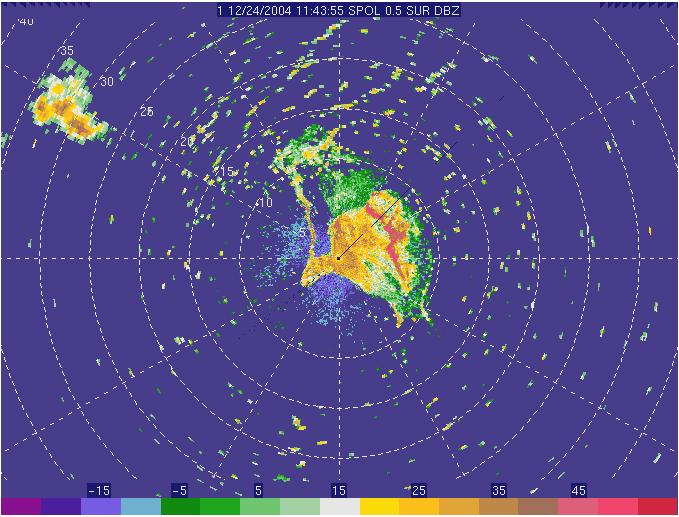
The following images show the island chain (with the locations of Barbuda and Antigua) and the S-band ground clutter return showing the outline of the island of Barbuda, complete with lagoon to the NW (range rings are every 5 km). The images are active images linked to larger images.
|
|
Note that the speckles in the radar image are almost exclusively birds. Barbuda harbors the largest frigate bird colony in the world.